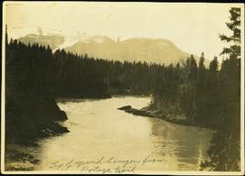
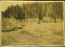
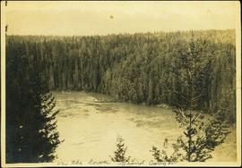
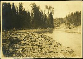
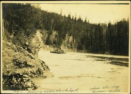
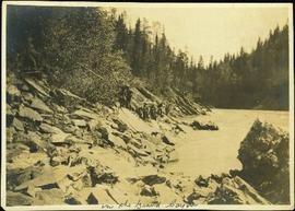
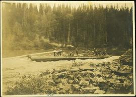
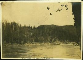
2012.13.1.53.28
·
Item
·
[1975?]
Part of J. Kent Sedgwick fonds
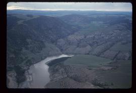
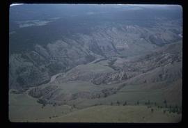
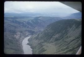
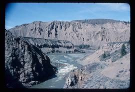
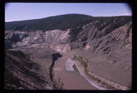
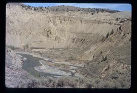
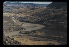
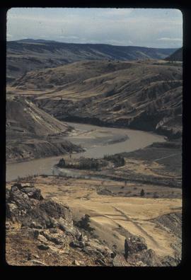
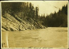
Image depicts an area around Lillooet, B.C. It is possibly the Fraser River running through the Moran Canyon.