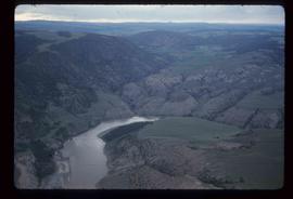
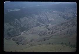
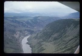
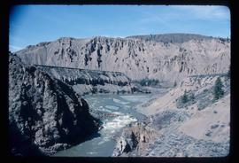
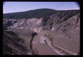
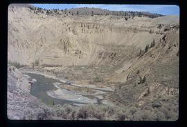
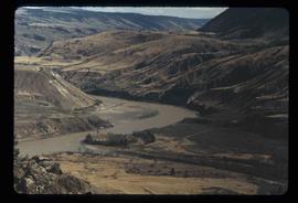
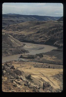
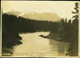
Image depicts the Fraser River somewhere in the Lillooet area.
Image depicts a view of the Fraser River in Lillooet, B.C.
Image depicts a view of the Fraser River near Lillooet, B.C.
Image depicts a view of the Fraser River and the mountains surrounding Lillooet, B.C.
Image depicts the Fraser River near Lillooet, B.C.
Image depicts the Fraser River running through the Moran Canyon near Lillooet, B.C.
Image depicts an area around Lillooet, B.C. It is possibly the Fraser River running through the Moran Canyon.
Image depicts the Fraser River near Lillooet, B.C.
Image depicts two bridges over the Fraser River, located somewhere in Lillooet, B.C.
Image depicts a view of Moran Canyon in the Lillooet area. The Fraser River is visible on the left.
Image depicts the Moran Canyon; the Fraser River is visible near the bottom.
Image depicts the Fraser River running through the Upper Fraser Canyon.
Image depicts a rail road bridge over the Fraser River, possibly somewhere in the Lillooet area.
Image depicts the Fraser River near Lillooet, B.C.
Image depicts the Fraser River running through the Moran Canyon near Lillooet, B.C.
Image depicts what is possibly the Fraser River running through the Moran Canyon near Lillooet, B.C.
Image depicts a view of the Fraser River, as well as a road and railroad, near the Moran Canyon.
Image depicts an aerial view of a plateau near the Fraser River.
Image depicts an aerial view of a section of land, likely near the Fraser River, that is possibly either a slump or part of a mining operation. The slide is labelled "slump or mining."
Image depicts an aerial view of a plateau near the Fraser River.
Image depicts an aerial view of the land near the Fraser River.
Image depicts an aerial view of the Fraser River.
Image depicts an aerial view of grooves in the land near the Fraser River, possibly caused by glaciers.
Image depicts an aerial view of the Fraser River.
Image depicts a view of grooves in the land near the Fraser River, possibly caused by glaciers.
Image depicts an aerial view of the Fraser River.
Image depicts an aerial view of a stretch of road near the Fraser Bridge.
Image depicts a view of a mountainous landscape, possibly near the Fraser River.
Image depicts what is possibly a section of the Fraser River.
Image depicts an eroding rock face; the river in the right corner of the image is possibly the Fraser River.
Image depicts what is possibly the Fraser River.
Image depicts ridge-like rock formations at an uncertain location, though possibly somewhere near the Fraser River.
Image depicts what is possibly the Fraser River.
Image depicts four unidentified individuals walking along the bank of the Fraser River in Longworth, B.C.
Image depicts the Fraser River and a mountain in Longworth, B.C.
Image depicts the Fraser River near Lillooet, B.C.
Photograph depicts winding river from above, tall trees on either side and mountains in background. Handwritten photo caption on verso and recto of this photograph reads: "Top of Grand Canyon from Portage trail".