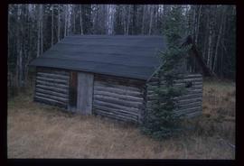
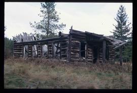
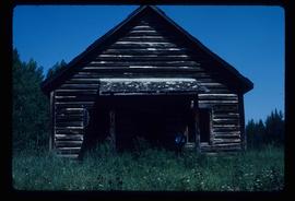
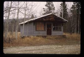
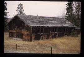
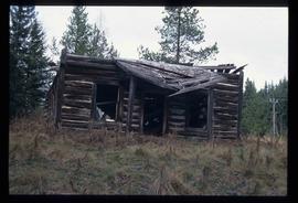
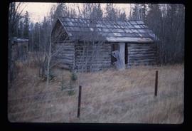
Image depicts a shack in Woodpecker, B.C. The previous slide of the same building is labelled "seed plant" for unknown reasons.
Image depicts an old shed in Woodpecker, B.C.
File contains slides depicting places in or around Red Rock, Hixon, and Woodpecker, B.C.
Image depicts a collapsed shack somewhere near Woodpecker, B.C.
Image depicts the old school in Woodpecker, B.C.
File contains slides depicting the grade for what was formerly the Pacific Great Eastern, and is now known as British Columbia Railway.
Image depicts the street sign for Iron Road South, which is located north of Woodpecker, B.C.
Image depicts a clearing through the woods, possibly an abandoned grade for the BCR. It is possibly located on Iron Road South, near Woodpecker B.C.
Image depicts a back road at an uncertain location, possibly near Iron Road North, north of Woodpecker, B.C.
Image depicts a water-filled ditch near a road somewhere in Woodpecker B.C.
Image depicts a north view of a road somewhere in Woodpecker, B.C.
Image depicts a small, abandoned house in Woodpecker, B.C.
Image depicts the old community hall in Woodpecker, B.C.
Image depicts the St. Mark's Anglican Church and a small house in Woodpecker, B.C.
Image depicts St. Mark's Anglican Church in Woodpecker, B.C.
Image depicts an old shed in Woodpecker, B.C.
Image depicts a collapsed shack somewhere near Woodpecker, B.C.