2017.5.3.4
·
Part
·
Oct. 1971
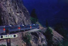
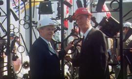
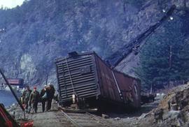
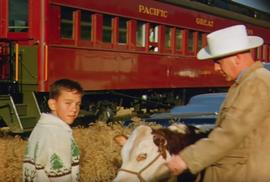
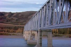
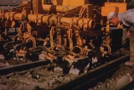
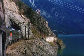
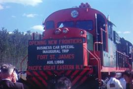
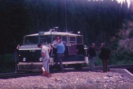
Part of Pacific Great Eastern Railway Film Collection
This original film footage clip depicts Pacific Great Eastern Railway (PGE) track inspection with a V-10 vehicle from Fort Nelson to Fort St John in October 1971.