Showing 849 results
Archival description
Archie Creek site location map
Archie Creek site location map
Resource inventory documents
Resource inventory documents
"Range Reference Area Exclosure Locations, Ft. St. John Forest District"
"Range Reference Area Exclosure Locations, Ft. St. John Forest District"
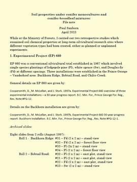
Soil properties under conifer monocultures and conifer-broadleaf mixtures
Muskwa-Kechika project digital images
Muskwa-Kechika project digital images
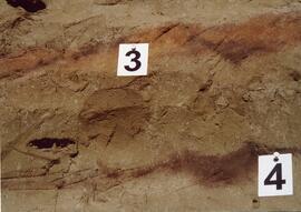
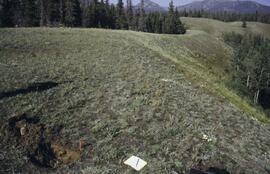
Archie Creek Site
Archie Creek Site
Coarse woody debris research and inventory documents
Coarse woody debris research and inventory documents
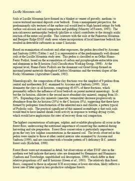
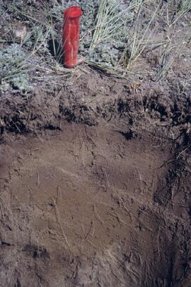
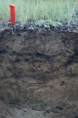
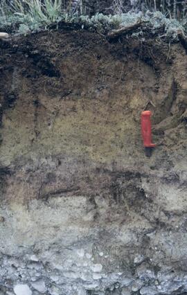
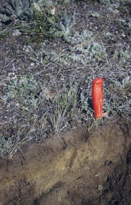
"Lucille Mountain soils"

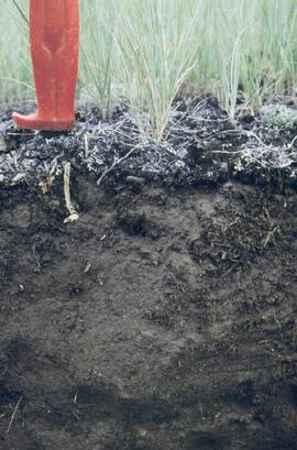
MK Soils Project - 2001 - General Vegetation Descriptions

Muskwa-Kechika soils and prescribed burning project data
Muskwa-Kechika project slides
Muskwa-Kechika project slides
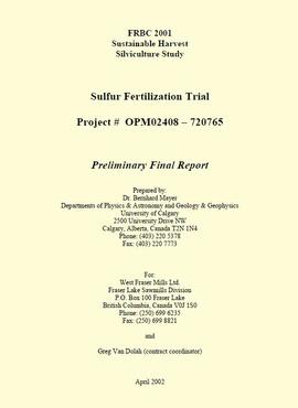
"FRBC 2001 Sustainable Harvest Silviculture Study - Sulfur Fertilization Trial - Project# OPM 02408-720765 - Preliminary Final Report"
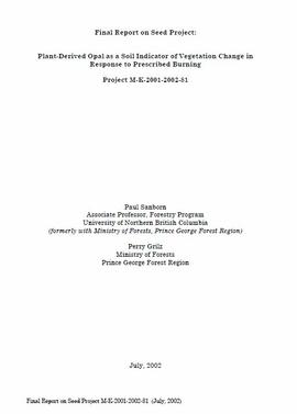
"Final Report on Seed Project: Plant-Derived Opal as a Soil Indicator of Vegetation Change in Response to Prescribed Burning - Project M-K-2001-2002-81"
"Annual Operational Report - Forest Innovation Investment Project: R2003-0245 - Sulphur Fertilization of Lodgepole Pine: A Staple Isotope Tracer Study"
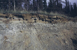
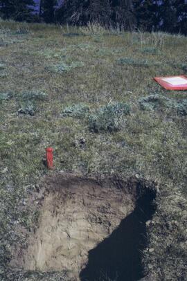
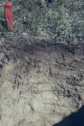
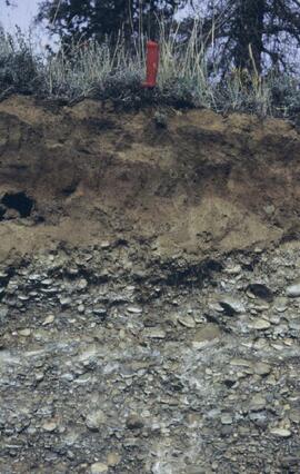
Y03-04 profile
Y03-10 site
Y03-09 site
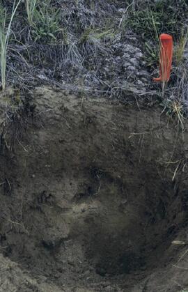
Y03-09 profile
Y03-08

Lower Slims heavy sheep use area (detail)

Lower Slims heavy sheep use area

Lower Slims unburned grassland (detail)

Lower Slims unburned grassland
Y03-12
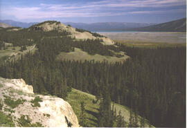
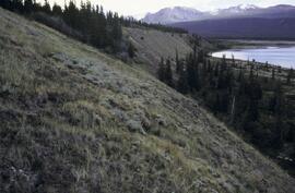
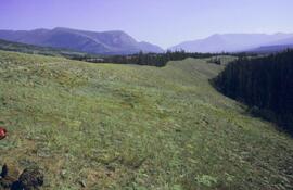
Lower Slims panorama
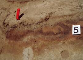
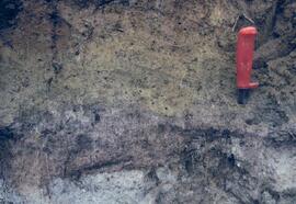
Silver City section (Y03-11) - soil 5
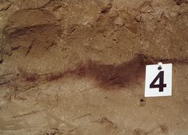
Silver City section (Y03-11) - soil 4
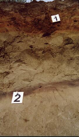
Silver City section (Y03-11) - soils 1 and 2
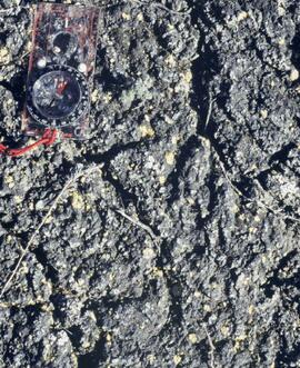
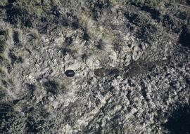
Cryptobiotic soil crust close-up
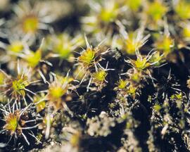
Cryptobiotic soil crust close-up
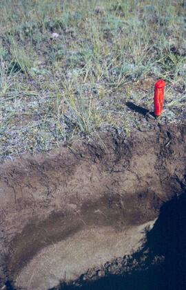
Y03-05 profile
Y03-04 site
Y03-08

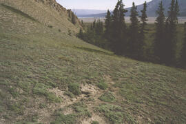
Lower Sheep Creek canyon
Lower Slims panorama
Y03-12 view
Y03-12
Kluane Lake 2003 photographs - print roll 5
Kluane Lake 2003 photographs - print roll 5
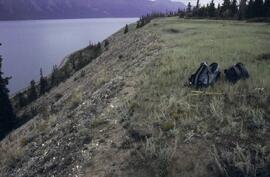
Silver City section (Y03-11) - overview
Silver City section (Y03-11) - soils 3 and 4
Y03-03 profile and site
Y03-03 profile
Kluane Lake 2003 photographs - slide roll 3
Kluane Lake 2003 photographs - slide roll 3
Y03-10 profile
Y03-08
Y03-09 profile (detail)
Y03-08
Lower Slims unburned grassland
Y03-06 site
Y03-06 profile