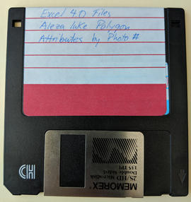
2007.1.60.03.3
·
Item
·
1993-1996
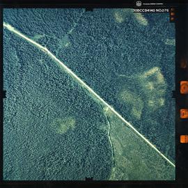
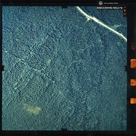
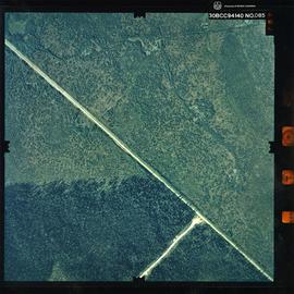
Part of Aleza Lake Research Forest fonds
Item is a 3.5 in. floppy containing Excel 4.0 files for the Aleza Lake polygon attributes by photo number. Files include: ALEZAENV.DAT, ALEZAENV.DOC, ALEZAPRO.DOC, ALEZASS.SRT, ALEZAVEG.DAT, ALEZAVEG.DOC, EDATOPE.CDR, FIELDF.XLS, POLY059.XLS, POLY061.XLS, POLY063.XLS, POLY101.XLS, POLY103.XLS, POLY105.XLS, POLY107.XLS, POLY127.XLS, POLY140.XLS, POLY142.XLS, POLY144.XLS, POLY146.XLS, POLY148.XLS, PROFILE.CDR.