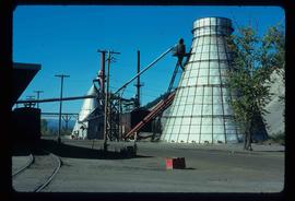
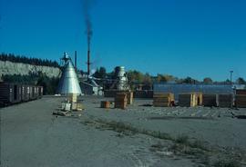
Image depicts a Beehive Burner along the Nechako on River Road. Map coordinates 53°55'34.1"N 122°44'58.0"W
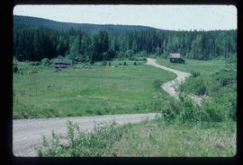
Image depicts a view of Blackburn Schools, possibly taken from Tabor Mountain.
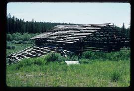
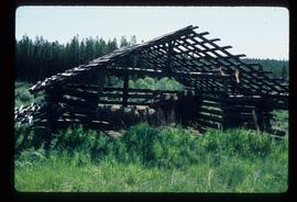
Image depicts an abandoned cabin and shed on Blackwater Road.
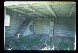
Image depicts the interior of an abandoned, deteriorating cabin on Blackwater Road.
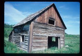
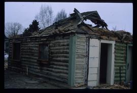
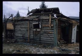
Image depicts an abandoned, deteriorating cabin on Blackwater Road.
Image depicts a shed on Blackwater Road.
Image depicts a shed on Blackwater Road.
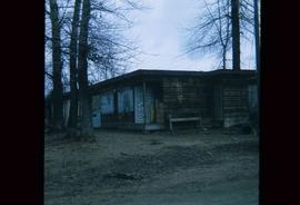
Image depicts a boarded up building in Island Cache.
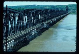
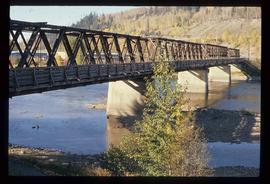
Image depicts a bridge in Prince George, B.C.
Image depicts a bridge in Prince George, B.C.
Image depicts a bridge in Prince George, B.C.
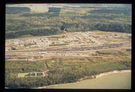
Image depicts an aerial view of the BC Rail, in Prince George, B.C. It is now known as CN Rail.
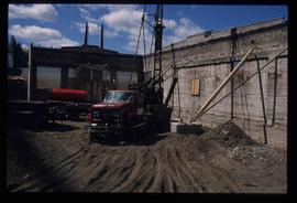
Image depicts an unknown building under construction at the corner of 6th Avenue and Dominion Street in Prince George, B.C.
Image depicts an unknown building under construction at the corner of 6th Avenue and Dominion Street in Prince George, B.C.
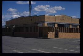
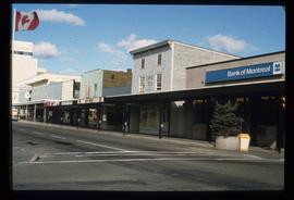
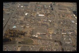
Image depicts a street of businesses, possibly 3rd Avenue, in Prince George, B.C.
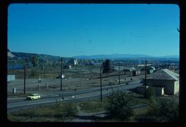
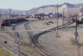
Image depicts the Canadian National Railway Yards in Prince George, B.C.
Image depicts the Canadian National Railway Yards in Prince George, B.C.
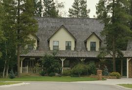
Image depicts a Cariboo Ranch style house at College Heights in Prince George, B.C.
Image depicts the Carter Industrial Area in Prince George, B.C.
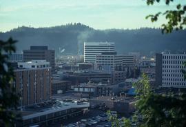
Image depicts the Central Business District of Prince George looking north from Connaught Hill. Map coordinates 53°54'41.4"N 122°44'58.5"W
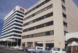
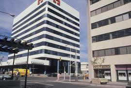
Image depicts 3rd Ave at Victoria St. Map coordinates 53°55'03.9"N 122°44'54.8"W
Image depicts 3rd Ave at Victoria St. Map coordinates 53°55'03.9"N 122°44'54.8"W
Image depicts 3rd Ave at Victoria St. Map coordinates 53°55'03.9"N 122°44'54.8"W
Image depicts 3rd Ave at Victoria St. Map coordinates 53°55'03.9"N 122°44'54.8"W
Image depicts an old, boarded up school, possibly the Central Fort George Traditional School in Prince George, B.C.
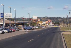
Image depicts Central Street West, parallel to Highway 97 in Prince George, B.C. looking north. Shown: Prince George Motors and other car dealerships, Burger King, Grama's Inn, and the Spruceland Shopping Mall sign. Map coordinates 53°54'42.1"N 122°46'53.1"W
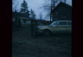
Image depicts two children standing near an old car in Island Cache.
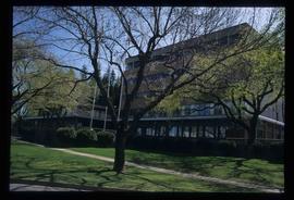
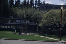
Image depicts City Hall in Prince George, B.C.
Image depicts Prince George City Hall. Map coordinates 53°54'46.3"N 122°44'41.9"W
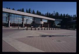
Image depicts the Prince George Civic Centre.
Image depicts a clearing at Island Cache.
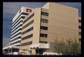
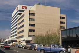
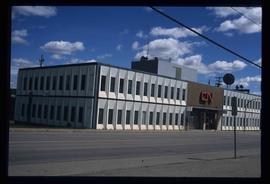
Image depicts the CN Building in Prince George, B.C.
Image depicts a number of trains in the CNR train yard taken from River Road in Prince George, B.C. Map coordinates 53°54'51.5"N 122°43'29.6"W
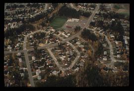
Image depicts College Heights, particularly along Gladstone Drive, in Prince George, B.C.
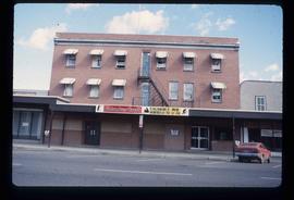
Image depicts the Columbus Hotel in Prince George, which was destroyed by a fire in 2008.
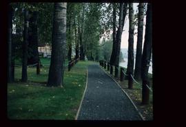
Image depicts a section of the Heritage Trail on Cottonwood Island in Prince George, B.C.
Image depicts a the Cottonwood Island Nature Park sign and map in Prince George, B.C.
Image depicts a the Cottonwood Island Nature Park sign and map in Prince George, B.C.
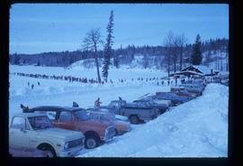
Image depicts a long line of people cross country skiing somewhere on Tabor Mountain in Prince George, B.C.
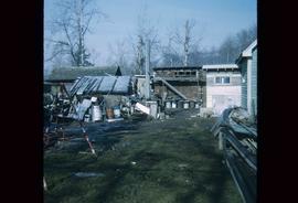
Image depicts a backyard filled with various items piled against a shed in Island Cache.
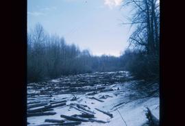
Image depicts an area of cut trees at Island Cache.
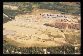
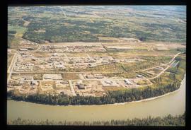
Image depicts a sawmill in the Danson Industrial Park in Prince George, B.C.
Image depicts a the Danson Industrial Park in Prince George, B.C.
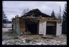
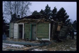
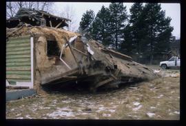
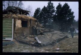
Image depicts a house in the process of being demolished in Prince George, B.C.
Image depicts a house in the process of being demolished in Prince George, B.C.
Image depicts a house in the process of being demolished in Prince George, B.C.
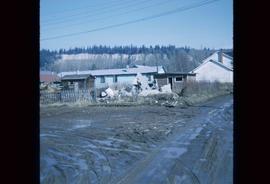
Image depicts the rubble of a demolished house at Island Cache, with several other buildings in the background.
Image depicts a house in the process of being demolished in Prince George, B.C.
Image depicts a house in the process of being demolished in Prince George, B.C.
Image depicts a house in the process of being demolished in Prince George, B.C.
