2013.6.35.04
·
Pièce
·
1976
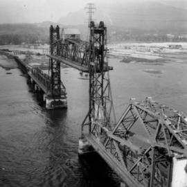
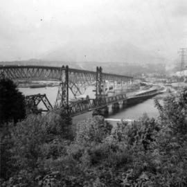
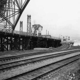
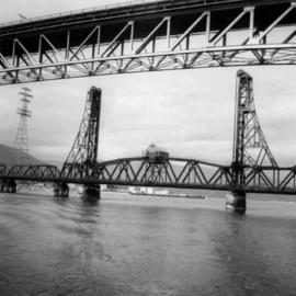
Fait partie de David Davies Railway Collection
Map depicts south eastern British Columbia, with highlighted annotations by Davies to emphasize location of rail lines.