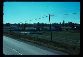
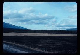
Image depicts a rural setting, most likely near the airport in Prince George, B.C.
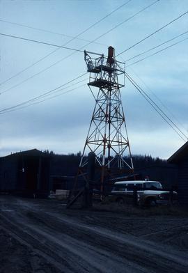
Image depicts a gauging tower at Shelley, B.C.
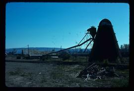
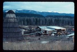
Image depicts a bee-hive burner beside a rail-road track at an unidentified mill somewhere in Prince George, B.C.
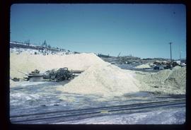
Image depicts the BCR tracks passing through a mill somewhere near the 100 Mile.
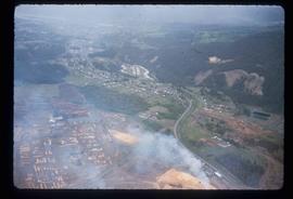
Image depicts an aerial view of Williams Lake, B.C.
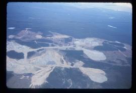
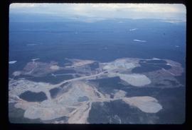
Image depicts an aerial view of the Gibraltar mine site's pits and waste dumps, north of Williams Lake, B.C.
Image depicts an aerial view of the Gibraltar mine site's pits and waste dumps, north of Williams Lake, B.C.
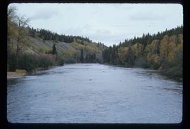
Image depicts the Stellako River.
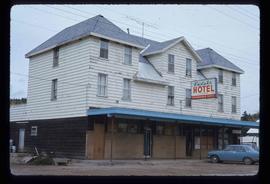
Image depicts the Endako Hotel in Endako, B.C.
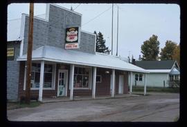
Image depicts the Endako General Store in Endako, B.C.
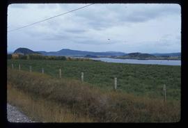
Image depicts a view of the Fraser Lake from Lejac, B.C.
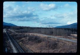
Image depicts the Rocky Mountain Trench from McBride, B.C.
Image depicts the Rocky Mountain Trench from McBride, B.C.
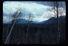
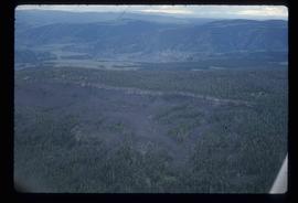
Image depicts a heavily forested area located in the Rocky Mountain Trench, possibly near Dome Creek or Lamming Mills, B.C.
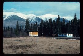
Image depicts a Yellowhead Realty sign in Lamming Mills, B.C. It reads: "For Sale, entire community, 50 buildings, 60 acres."
Image depicts a beehive burner in the community of Crescent Spur, B.C.
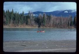
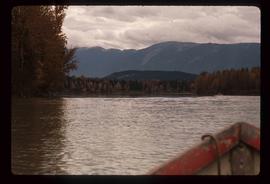
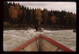
Image depicts a red boat on a river, possibly the Fraser, near Penny, B.C.
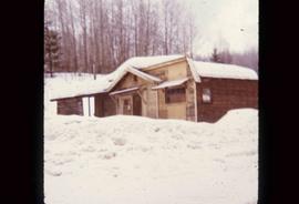
Image depicts an old building that was possibly once a gas station in the community of Newlands, B.C.
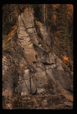
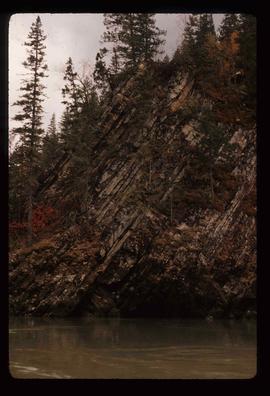
Image depicts a cliff side on the bank of the Fraser River in the Grand Canyon, B.C.
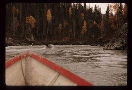
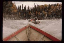
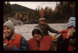
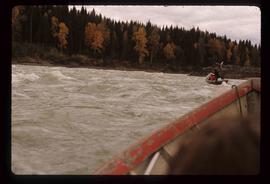
Image depicts a group of people in boats on the Fraser River in the Grand Canyon, B.C.
Image depicts a group of people in boats on the Fraser River in the Grand Canyon, B.C.
Image depicts a group of people in boats on the Fraser River in the Grand Canyon, B.C.
Image depicts Ray Mueller steering a boat on the Fraser River in the Grand Canyon, B.C.
Image depicts a group of people in boats on the Fraser River in the Grand Canyon, B.C.
Image depicts a group of people in boats on the Fraser River in the Grand Canyon, B.C.
Image depicts a rocky section of the bank of the Fraser River in the Grand Canyon, B.C.
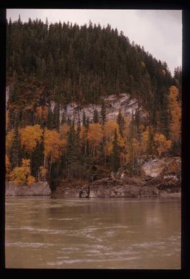
Image depicts the bank of the Fraser River in the Grand Canyon, B.C.
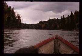
Image depicts the Fraser River in the Grand Canyon, B.C.
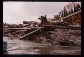
Image depicts numerous logs piled up on rocks in the Fraser River.
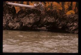
Image depicts a formation of rocks in the Fraser River, with a dead tree stuck on top of them.
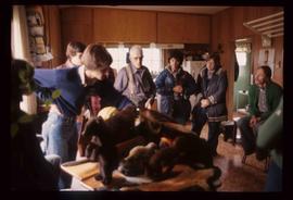
Image depicts a group of people in a kitchen area of the Mueller home in Sinclair Mills, B.C.; the man in the grey shirt is Ray Mueller displaying his taxidermy collection. Map coordinates 54.014188, -121.676973
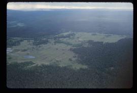
Image depicts an aerial view of a plateau near the Fraser River.
Image depicts an aerial view of a section of land, likely near the Fraser River, that is possibly either a slump or part of a mining operation. The slide is labelled "slump or mining."
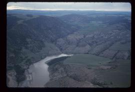
Image depicts an aerial view of the land near the Fraser River. The Fraser River is barely visible on the right side of the image.
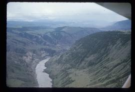
Image depicts an aerial view of the Fraser River.
Image depicts an aerial view of the Fraser River.
File consists of two copies with different annotations of a paper titled "The Changing Nature of Canadian Health Policy" presented by Weller at the 1975 South-Western Political Science Association conference. This file was originally numbered to correspond with conference paper number 2 listed in Weller's CV.
File consists of four versions of Weller's dissertation proposal. One version is untitled and the others are titled "The Development of Health Policy in Ontario, 1945-75," "The Development of Health Policy in Ontario, 1968-75: The Dominance of Withinputs?" and "The Development of Health Policy in Ontario, 1968-75."
Large-format map depicts Northwood Pulp & Timber operating areas in 1975.
File consists of a copy of Gary Runka's resume prior to the creation of his consultancy business G. Gary Runka Land Sense Ltd.
File consists of notes written by Joan Sawicki for an untitled pending speech by Gary Runka.
Commentary on this speech by Barry Smith of the Ministry of Agriculture and Lands:
"Despite this being only 4 pages of rough notes, its focus on the initial work of the Commission and challenges of designating the ALR make it an historically important document.
For example it was initially thought the ALR would be guided by class 1 - 4 CLI ratings but this proved impractical in the north and range areas. An additional challenge was that parts of the province only had the benefit of 1:50000 mapping. This presented a very real problem for establishing the ALR.
One concern with this document is that because it is written in point form and consists of rough notes, it could be open to a degree of misinterpretation if not considered by an individual with experience in the administration of the ALR. For a much more refined statement on the B.C. Agricultural Land Preservation program and the designation of the ALR see Items [2020.4.2.1.23, 2020.4.2.1.24, and 2020.4.2.1.25]."
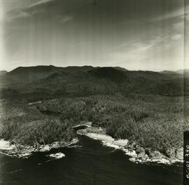
Air photograph depicts a segment of the West Coast Trail showing the beach area around the cabins at Nitinat Narrows. Coding on aerial is "BCO 390".
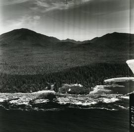
Air photograph depicts a segment of the West Coast Trail showing the beach area around the Carmanah Point Light Station. Coding on aerial is "BCO 391".
Item is an original "Mount Edziza Park Wildlife Report: An Argument for Nature Conservancy Status" report by W.G. Hazelwood, Parks Biologist. Includes original photographic prints pasted into the report. Also includes an accompanying "Mt. Edziza Wildlife Survey" from October 13, 1979.
Item is a photocopied report by T.C. Reid entitled "Liard River Hotsprings Park Natural History Observations". The report compiles natural history observations of Liard River Hotsprings, including a water chemistry report, weather observations, botanical report, ostrich fern growth, amphibian report, mammal report, bird report, and map and photograph orientation.
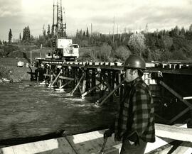
The photograph depicts Doug Rolfs overseeing bridge construction over the Anzac River. A crane can be seen on the uncompleted bridge. Annotation on reverse side of the photograph states, "The Pas Lumber Company Ltd Oct 12/1975, Anzac River - Colbourne Road, Quadra Coast, Doug Rolfs, foreman"
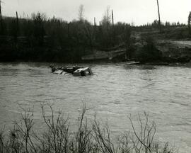
The photograph depicts a turned over crane in the middle of the Anzac River. A canoe can be seen in the background on the other side of the river. Annotation on reverse side of the photograph states, "The Pas Lumber Company Ltd Oct 19/75 Anzac River, B.C - Colbourne Road, Quadra Coast - crane."
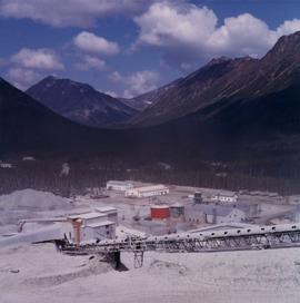
Photograph depicts crusher plant in centre foreground. Shifter shack and vehicles can be seen in front of pit area. West Peak semi-visible in right midground. Mine valley an northwestern mountain range in background.
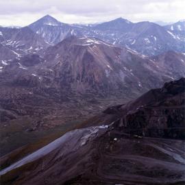
Photograph depicts plant buildings below, tailings pile in foreground. Valley and mountains in background. Handwritten annotation on recto of photograph: "CASSIAR".
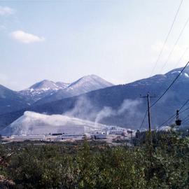
Photograph depicts plant buildings in front of tailings pile in midground. Forest, power line, and tramline in foreground; south mountains in background.
