Affichage de 1164 résultats
Archival description
2016.7.3.44.227
2016.7.3.44.233
2016.7.3.44.236
2016.7.3.44.238
2016.7.3.44.241
2016.7.3.44.242
2016.7.3.44.249
2016.7.3.44.256
2016.7.3.44.257
2016.7.3.44.259
2016.7.3.44.263
2016.7.3.44.264
2016.7.3.44.265
2016.7.3.45.01
2016.7.3.45.03
"Survey of Mercury Levels in Nechako Reservoir, British Columbia, 1991"
"Survey of Mercury Levels in Nechako Reservoir, British Columbia, 1991"
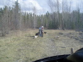
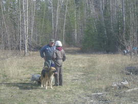
McGregor tour 1995
FSTY 205 images
FSTY 205 images
Bear Lake, West Lake, Williams Lake, 10 Mile Lake, Smithers, Fort St. John, WAC Bennett Dam
Bear Lake, West Lake, Williams Lake, 10 Mile Lake, Smithers, Fort St. John, WAC Bennett Dam
FSTY 205 / FSTY 425 in 1996
FSTY 205 / FSTY 425 in 1996
Tour of paper mill and forest research plots
Tour of paper mill and forest research plots
Vernon and soil profiles
Vernon and soil profiles
FSTY 205 in Fall 1997
FSTY 205 in Fall 1997
Beaumont and Pine Park
Beaumont and Pine Park
FSTY 205/425 in October 1998
FSTY 205/425 in October 1998
Bell Mines tailings ponds and FSTY 205/425
Bell Mines tailings ponds and FSTY 205/425
FSTY 205 and FSTY 404
FSTY 205 and FSTY 404
Gladstone/Domano parking lot fire soil
Gladstone/Domano parking lot fire soil
Prince George City Hall and UNBC
Prince George City Hall and UNBC
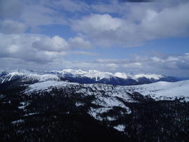
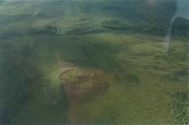
15 Mile R site aerial view - 03
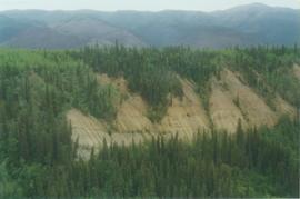
15 Mile R site aerial view - 05
15 Mile R site aerial view - 10
15 Mile R site aerial view - 11
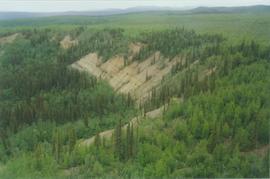
15 Mile R site aerial view - 12
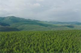
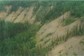
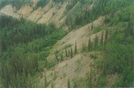
Aerial views (E 15 Mile to Rock Ck) - 01
Aerial views (E 15 Mile to Rock Ck) - 06
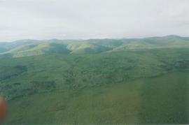
Aerial views (E 15 Mile to Rock Ck) - 09
UNBC employment
UNBC employment
Promotion package
Promotion package
"Ecosystem and Community Health of the Nat'oot'en First Nation - Co-Management Alternatives for the Babine Lake Watershed"
"Ecosystem and Community Health of the Nat'oot'en First Nation - Co-Management Alternatives for the Babine Lake Watershed"
"Blueberry Nation Health Study"
"Blueberry Nation Health Study"
"An Integrated Approach to Reservoir Management: The Williston Reservoir Case Study"
"An Integrated Approach to Reservoir Management: The Williston Reservoir Case Study"
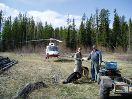
Dust study of Williston Lake area
Dust study of Williston Lake area
Williston Lake study field notes
Williston Lake study field notes
FSTY 205 in 1995
FSTY 205 in 1995
University Way
University Way
University Way, lab photos, and a tour of a paper mill
University Way, lab photos, and a tour of a paper mill
UNBC event and Prince George Forest Region LTSPS
UNBC event and Prince George Forest Region LTSPS
Totuk Lake and McBride
Totuk Lake and McBride
Bear Lake, McGregor Model Forest, Purden Lake
Bear Lake, McGregor Model Forest, Purden Lake