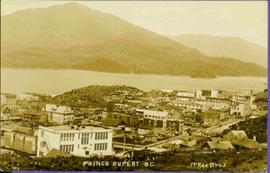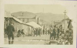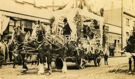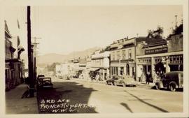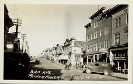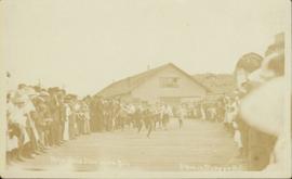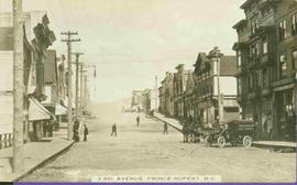
2011.3.3.11
·
Item
·
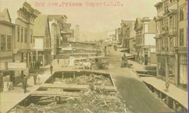
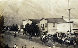
[ca. 1905]
Part of North Coast & Central BC Postcard Collection
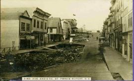
Street scene depicting people, boardwalks, horse & wagons, and delivery truck. Printed annotation on recto reads: “3rd Ave. Prince Rupert. B.C.”