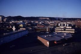
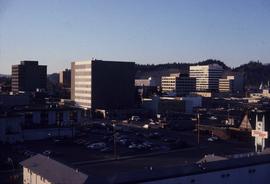
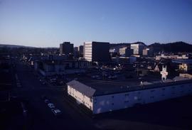
Photograph depicts Rosel's restaurant at 1624 7th Avenue. Rosel's restaurant was owned and operated by Wilfred and Rosel Vogt from 1981 to 1997. The building was built in 1916 and was originally owned by Dr. Carl Ewart and later owned by Hubert King of Wilson, King and Company, the oldest law firm in Prince George, after 1946. The building is now a designated heritage building.
Photograph depicts a residential building at 1643 10th Avenue. Annotation on verso: "1643 - 10th Ave".
Photograph depicts residential buildings at 1662 and 1674 9th Avenue, one with a green roof and one with a metal roof. Annotation on verso: "1674 - 9th Ave green roof), 1662 - 9th Ave (metal roof)."
Photograph depicts a residential building at 1612 12th Avenue, the building was used as "Prince Realty". Annotation on verso: "1612 - 12th Ave., NW corner of Vancouver."
Photograph depicts a residential building at 1661 10th Avenue. Annotation on verso: "1661 - 10th Ave".
Photograph depicts Canada Trust/ Realtor at 1633 4th Avenue.
Photograph depicts a residential building at 1616 8th Avenue, on the corner of Vancouver Street. Annotation on verso: "1616 -8th Ave, NW corner of Vancouver".
Photograph depicts the Shearer building in Prince George. Annotation on verso: "Shearer bldg".
Photograph depicts "Gifts to Remember," a gift shop on 3rd Avenue, The Bay in the background.
Photograph depicts Northern Hardware at 1386 3rd Avenue.
Item is a map depicting the Vancouver Carney study neighbourhood area in Prince George.
Item is a map depicting land use in the Vancouver Carney study neighbourhood area in Prince George. Also includes two mylar overlays that show the outlines of "unit 2" and "unit 3" development areas.
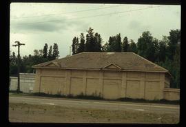
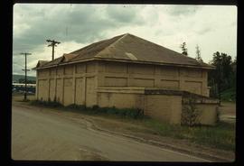
Image depicts a powerhouse in Prince George, B.C.
Julian Fry reminisces on his early life and acquaintances in Prince George during his work along the Blackwater Road in the early 1920's. Some notable references include: Blackwater Road, C.F.S. Baldy Hughes, Bill Comstock, Tom Cornell, Duncan MacKenzie, Ernest Levesque, [?] Hathaway, [?] Nelson, Ed and Julia Erickson, Blackwater Telegraph Station, Everett Vandenburg, and [?] Mackenzie.
File consists of an edition of the publication "Cutting Up the North" that was used to research for "Virtual Clearcut".
Image depicts a powerhouse in Prince George, B.C.
Item is the Proposed Land Use Map, 1978-2012, referred to in By-law No. 3138, the City of Prince George Official Community Plan. The original draft of this map was completed on October 24, 1977. This version of the map was amended in July 1982.
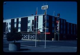
Image depicts the Prince George Hotel.
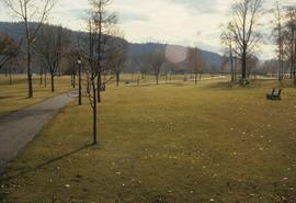
Image depicts the Fort George Park. Map coordinates 53°54'30.2"N 122°43'57.4"W
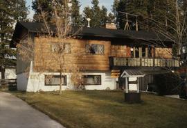
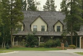
Image depicts a Bavarian style house at College Heights in Prince George, B.C.
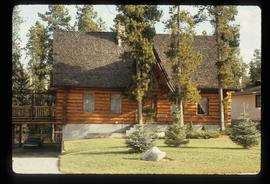
Image depicts a log house located somewhere on Kerry Street in Prince George, B.C.
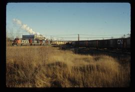
Image depicts two trains in Prince George, B.C.
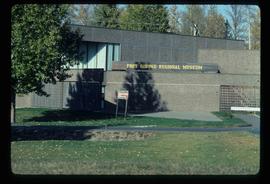
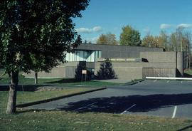
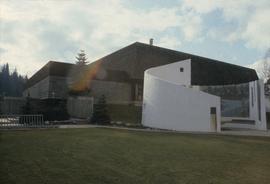
Image depicts the Fort George Regional Museum in Prince George, B.C.
File consists of records created or collected by Kent Sedgwick relating to various community projects associated with river parks. Example projects included in the file are a proposed Carrier village at Hudson Bay Slough, a Cottonwood Island park, proposed commercial boat tours on the Nechako and Fraser River, and the Quesnel Paddlewheel Park. Includes a project proposal document by the Fort George Band entitled "Establishing a Permanent Carrier Village in Prince George" (1990); a 1991 meeting package of the Nechako and Fraser River Valleys Committee (regarding the Cottonwood Island property and development of the Heritage River Trails System); a 1991 memorandum entitled "Prince George River Runners - Proposed commercial boat tours on the Nechako and Fraser River"; a 1983 "Submission to Rivers Committee Public Hearings by Heritage Advisory Committee, City of Prince George" describing the various river-adjacent heritage sites in Prince George; and documentation from the Quesnel Paddlewheel Association.
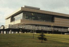
Image depicts the Prince George Public Library (Bob Harkins Branch). Map coordinates 53°54'43.1"N 122°44'56.4"W
Image depicts the Fort George Regional Museum (now known as The Exploration Place) in Prince George, B.C. Map coordinates 53°54'18.6"N 122°44'09.8"W
Image depicts the Four Seasons Leisure Pool, and the Centennial Fountain in Prince George, B.C. Map coordinates 53°54'48.5"N 122°44'49.2"W
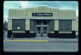
Image depicts the BC Liquor Store in Prince George, B.C.
Image depicts a Cariboo Ranch style house at College Heights in Prince George, B.C.
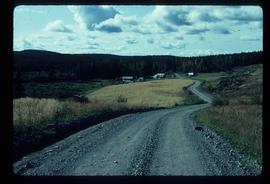
Image depicts a house on Blackwater Road.
Subseries consists of materials collected by Kent Sedgwick for research relating to Lheidli T'enneh First Nations. The Lheidli T'enneh are a sub-group of the Dakelh people whose traditional territory includes the city of Prince George, British Columbia. These files primarily consist of material regarding the original Lheidli T'enneh reserve and cemetery, the reserve relocation, and the desecration of the cemetery.
The Canada Chart depicts Canadian federal and provincial and government information and graphics.
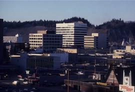
Image depicts downtown Prince George looking northwest. Map coordinates 53°54'48.7"N 122°44'45.6"W
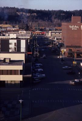
Image depicts a view of Prince George from City Hall looking northeast along George Street. Map coordinates 53°54'46.3"N 122°44'41.9"W
File consists of records created and collected by Kent Sedgwick regarding the Heritage River Trails System and surrounding park areas in Prince George such as Cottonwood Island Park. Highlights include:
- Full page newspaper feature in The Citizen written by Kent Sedgwick that includes a detailed history of Cottonwood Island Park and the River Trails as well as a contest for naming the trail system (2 Nov. 1984)
- Graham Farstad, Director of Planning, City of Prince George, "Prince George's Heritage River Trail System" document, May 1986
- records relating to the dedication plaque for the opening of the trails
- "Heritage River Trails: A Guide to the Pathways along the Fraser and Nechako Rivers, Prince George, British Columbia" brochures created by Kent Sedgwick
- map on transparency depicting the Heritage River Trails System
Image depicts downtown Prince George taken from City Hall looking north. Map coordinates 53°54'46.2"N 122°44'43.9"W
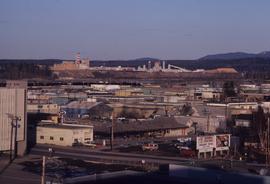
Image depicts a view of Prince George from City Hall looking northeast with the pulp mills in the background. Map coordinates 53°54'46.3"N 122°44'41.9"W
Image depicts downtown Prince George taken from City Hall looking north. Map coordinates 53°54'46.2"N 122°44'43.9"W
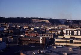
Image depicts downtown Prince George taken from City Hall looking northwest. Map coordinates 53°54'46.2"N 122°44'43.9"W
Item is McNaughton Lake, B.C. Map 83D and Part of 83C Second Status Edition (1975) from "Classification and Interpretation of some Ecosystems of the Rocky Mountain Trench, Prince George Forest Region, British Columbia: First Approximation" (1984).
Image depicts downtown Prince George taken from City Hall looking northwest. Map coordinates 53°54'46.2"N 122°44'43.9"W
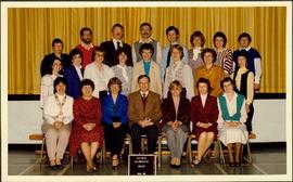
Photograph depicts group of 23 men and women posed for photo in gymnasium. Plaque in foreground reads "QUINSON ELEMENTARY STAFF 1985 86". Bridget Moran stands third from left in middle row.
Fonds consists of one copy of a manuscript of Harry Weaver's autobiography and copies of various accompanying records, as well as one black & white copy print photograph depicting the Weaver family.
Sem títuloHarry Weaver Memories consists of a copy of the typed manuscript of Harry Weaver's autobiography, as well as various other related trapping information.
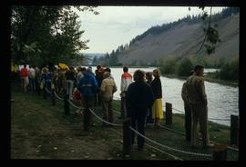
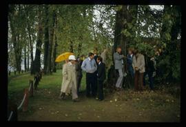
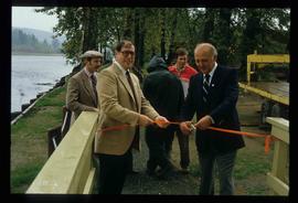
File contains slides depicting the opening of the Cottonwood Park section of the Heritage River Trails in Prince George, B.C.
Image depicts a large crowd of people on a section of the Heritage Trail on Cottonwood Island in Prince George, B.C.
Image depicts a crowd of people in Cottonwood Park in Prince George, B.C.
Image depicts Elmer Mercier, a former mayor of Prince George, B.C., cutting the ribbon to open Cottonwood Park's Heritage Trail.
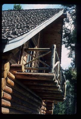
Image depicts the balcony of a log house, likely somewhere in or near Prince George B.C.
Item is a BC Forest Service beverage coaster.

![Vancouver Carney Study [Existing Land Use]](/uploads/r/northern-bc-archives-special-collections-1/d/8/4/d841cd29016ddb96663d51e137bd7a3b7c4dfe3ec645baca199615e3e4464da3/2023.5.1.21a_-_Vancouver_and_Carney_Study_Area_Existing_Land_Use_JPG85_tb_142.jpg)
![Proposed Land Use 1978-2012, Official Community Plan, City of Prince George [1982 Amendment]](/uploads/r/northern-bc-archives-special-collections-1/6/6/9/669fc9dc3b840a6896f6a2a968a948283a3c5d972b6b48d718b427a57ebbe67f/2023.5.1.22_-_1982_-_Proposed_Land_Use_1982-2012_JPG85_tb_142.jpg)
