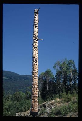
Image depicts a totem pole at an uncertain location, possibly in Gitwinksihlkw, B.C.
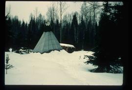
Image depicts what appears to be a teepee at an uncertain location.
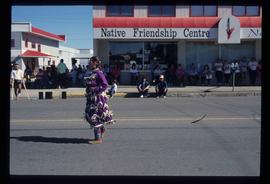
Image depicts a woman, wearing clothes reminiscent of traditional First Nations, who appears to be dancing in the street outside of a Native Friendship Centre in Prince George, B.C. A large crowd is looking on.
This fonds encompasses the academic and administrative career of esteemed Canadian historian Dr. Robin Fisher during his tenure at the University of Northern British Columbia. The records span Dr. Fisher's appointments at UNBC as professor, founding chair of the Department of History, Dean of Arts and Science, and Dean of the College of Arts, Social and Health Sciences.
Series include:
- Personal Records relating to Dr. Fisher's various appointments at UNBC
- Treaty Advisory records originating from Dr. Fisher's involvement in the Northern Interior Regional Advisory Committee and other treaty process advisory activities
- Teaching records relating to the development of Dr. Fisher's undergraduate and graduate courses, primarily in the Department of History
- Conferences & Service records relating to conferences attended or organized by Dr. Fisher, as well as activities given in service to the University or the community
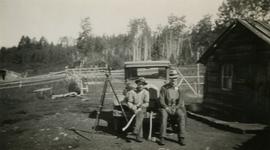
Photograph depicts (from left) Jack Lee and Gordon Wyness sitting on a car next to their equipment while surveying at an Indian Reserve. A cabin on the reserve is also depicted. According to the transcription on the photograph verso, they were surveying road through an "Indian Reserve South of South bank François Lake".
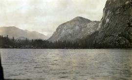
Photograph depicts a view of St'a7mes village looking north, taken from the original Government Wharf in Squamish (Newport). This wharf was built in 1902 and was temporarily replaced by other docks to the west built by the PGE Railway in 1913-14. This photograph was taken after 1914, since the houses in the photo were built by the PGE Railway Company as part of the 1914 reserves sale deal.
Further details that date this photograph between late 1914 and 1920:
- the Merrill & Ring logging operation beach camp is not depicted (opened in 1926)
- the dock from which the photo is taken fell into disrepair after 1914 and was not rebuilt until 1929.
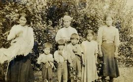
Photograph depicts a group of Indigenous women and children in an unknown location, possibly Lillooet.
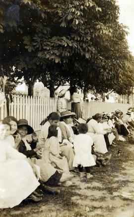
Photograph depicts a row of spectators wearing nice clothing, sitting on the curb in the shade of mature chestnut trees. Many of the spectators appear to be Indigenous women and children. They may be gathered to watch a parade or special event. There are Union Jacks and Canadian Red Ensign flags hanging in the trees, suggesting the event may be a Dominion Day event. Although the location is unknown, the presence of the chestnut trees suggests that this may have been taken on Lillooet Main Street.
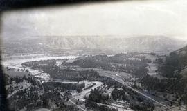
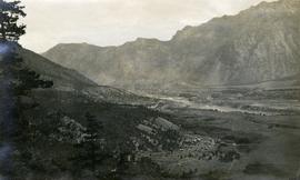
Photograph depicts the confluence of the Cayoosh Creek outflow into the Fraser River in Lillooet, BC. Seton River is visible in the foreground. This area is Cayoose Creek Band (Sekw'el'wás First Nation) territory and includes land currently encompassed within Cayoosh Creek Indian Reserve 1. The Pacific Great Eastern Railway bridge over the Fraser River is also visible in the background.
Photograph depicts a view of the Lillooet Indian Reserve in the foreground; the town of Lillooet and the Fraser River are visible beyond.
