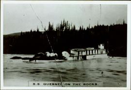
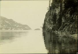
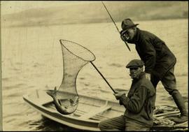
2010.13.24
·
Item
·
[ca. 1910]
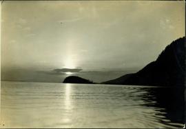
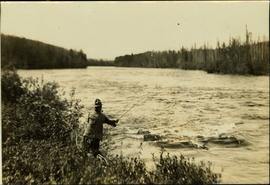
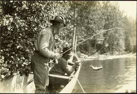
Part of Prince George Historical Photograph Collection
Water and dock in foreground, trees and cliffs in background.
Handwritten annotation on verso “’Boat Hammond at South Fort Geroge”.