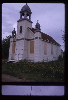
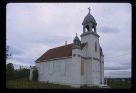
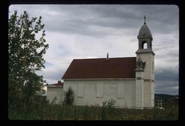
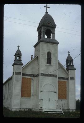
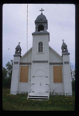
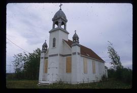
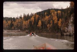
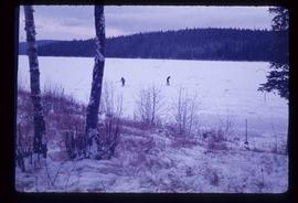
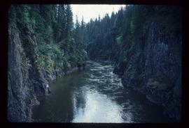
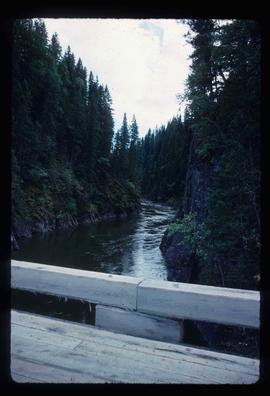
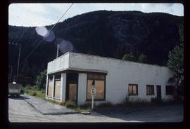
Blue and white building in downtown Prince George.
This item is a photograph of a blue and white building in downtown Prince George. The Coast Hotel can be seen in the background.
Photograph depicts the Blue river store in the North Thompson region.
Image depicts a boarded up building in Island Cache.
The photograph depicts three wooden buildings boarded up, Finmoore, B.C. The photograph was taken in autumn.
Image depicts a boarded up building in Stewart B.C. There is also a sign that reads: "No U Turns."
Image depicts a boarded up church in Shelley, B.C.
Image depicts a boat launch with several people nearby; it is possibly at War Lake in Carp Lake Provincial Park.
Image depicts a boat launch; it is possibly at War Lake in Carp Lake Provincial Park.
Image depicts a riverboat on the Fraser River, possibly in Longworth, B.C.
Image depicts a boat docked inside what appears to be a type of boathouse, possibly located in Metlakatla near Prince Rupert, B.C.
Image depicts a group of people in boats on the Fraser River in the Grand Canyon, B.C.
Image depicts a group of people in boats, with Ray Mueller steering one of them, on the Fraser River in the Grand Canyon, B.C.
Image depicts several boats on what appears to be a river, and an old beehive burner in Penny, B.C.
The item is a photograph depicting a cabin at Bobtail Lake on the telegraph trail. Annotation on the slide states, "Cabin T.T."
The item is a photograph depicting a cabin at Bobtail Lake on the telegraph trail. Annotation on the slide states, "Cabin T.T. NE corner Bobtail L."
Image depicts Bobtail Lake.
Item is an original 1969 map depicting Bonaparte Lake in British Columbia, published by the Department of Energy, Mines and Resources in Ottawa Canada.
Item is an original 1980 map depicting Bonaparte Lake in British Columbia, published by the Department of Energy, Mines and Resources in Ottawa.
File consists of a note and photographs depicting children from the Bonnet Hill Elementary School in a frame hung in the Bonnet Hill Pub (Between 2001 and 2005).
The item is a photograph depicting a woman standing with the mascot of Boomer the beaver in Fort George Park.
The item is a photograph depicting the exterior view of the front of Bowie's Fasion at 1397 3rd Avenue, Prince George. There is a man walking in front of the business. The side of S. S. Kresge Co. at 1401 3rd Avenue, Prince George can be seen. Photograph originally taken between 1978 and 1979.
The item is a photograph depicting the exterior view of the front of Bowie's Fasion at 1397 3rd Avenue, Prince George. Photograph originally taken between 1978 and 1979.
The item is a photograph depicting the exterior view of the front of Bowie's Fasion at 1397 3rd Avenue, Prince George. Part of The Bay at 1303 3rd Avenue can also be seen. There is a yellow pickup truck parked out front. Photograph originally taken between 1978 and 1979.
Image depicts what is possibly the Bowron River. The slide is simply labelled "Bowron Canyon."
Image depicts what is possibly the Bowron River from a bridge. The slide is simply labelled "Bowron Canyon."
Image depicts what appears to be a log jam on what is possibly the Bowron River. The slide is simply labelled "Bowron Canyon."
The item is a map depicting Bowron Lake Park in British Columbia, the park boundary, the patrol cabin, roads, campsites, glaciers, and trails. Various handwritten annotations are written on the map and Public Shelters are circled in red pen.
File contains slides depicting the Bowron Lake Provincial Park.
Item is an original 1982 map depicting the Bowron River in British Columbia, published by the Province of British Columbia Ministry of Environment.
File contains slides depicting locations in and around Bralorne, B.C.
Image depicts Bralorne, B.C.
Image depicts an area of Barlone, B.C. surrounded by trees.
Image depicts a church and a row of houses in Bralorne, B.C.
Image depicts a few boarded-up buildings in Bralorne, B.C.
Image depicts a row of houses in Bralorne, B.C.
Image depicts several houses in Bralorne, B.C.
Image depicts what is possibly an old, rundown mill in Bralorne, B.C.