Item is an original 1989 map depicting Bella Coola in British Columbia, published by the Department of Energy Mines and Resources in Ottawa, Canada. The map also includes Kent Sedgwick's travels in the Bella Coola area highlighted in red.
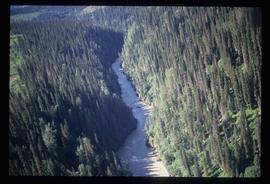
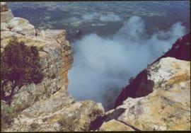
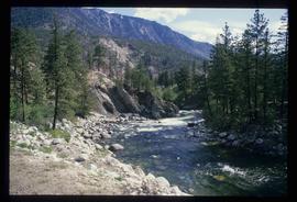
Image depicts a view of the Herrick River in what is possibly McGregor Canyon; the slide is simply labelled "McG Canyon - above Herrick."
Map depicts forest and non-forest land on Vancouver Island.
Item is an original map depicting British Columbia and its road networks, published by the Province of British Columbia Ministry of Environment.
Item is an original map depicting biogeoclimatic zones of British Columbia published by the Ministry of Forests in Victoria, British Columbia.
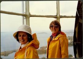
Handwritten notation affixed to verso reads: “Now Reflections in B.C.”
Item is an original 1988 street map of Greater Vancouver in British Columbia published by Alco Maps Ltd. in North Vancouver.
Map depicts to Canadian federal electoral districts for the 1993 federal election.
File consists of notes and typescript letters relating to Paddlewheel Park in Prince George. Includes: "Name change from Glenora Park to Paddlewheel Park" typescript letter from Heritage Committee to the Mayor and Council (12 Sept. 1988) and "South Fort George Community Association" typescript letter from Glenn Jaye to Graham Farstad (1 June 1988).
File contains slides depicting buildings and places in and around Ashcroft, Kamloops, and Hat Creek, B.C.
Image depicts a "box barn" on the historic Hat Creek Ranch site north of Ashcroft, B.C.
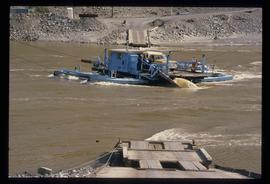
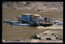
Image depicts a ferry on a river, possibly the Fraser River in the Lillooet area.
Image depicts a ferry on a river, possibly the Fraser River in the Lillooet area.
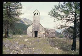
Image depicts an old and abandoned, collapsing church at an uncertain location.
File consists of notes and reproductions relating to maps and creating maps of Prince George. File predominantly includes photocopies and reproductions of maps of Prince George and neighbourhoods in Prince George. Includes: "Planning division inventory of land use plans and sector plans" typescript document (5 Dec. 1989); "Prince George community planning council" typed letter to Kent Sedgwick attached to multiple maps depicting Prince George (11 Dec. 1996); and "Downtown revitalization committee map loan" typed document and photocopied maps lent to the Downtown Revitalization Committee from Kent Sedgwick (11 Dec. 1996).
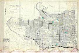
This municipal map of the City of Vancouver from 1987 shows street names and street widening information.
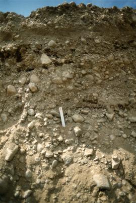
Photograph depicts close up view of gravel pit, ruler displayed for scale. Photograph speculated to have been taken at the plant or near the Cassiar airstrip. Stamped annotation on recto of photograph: "JUN. 1987".
Photograph is one of seven images orginally included within a diary dated 12-22 November 1987. Photos depict a day to day account of Canadian University Service Overseas (CUSO) mission to establish whether or not a Canadian presence is justified in the fight against Apartheid and for the liberation of Namibia within a Soviet Sphere Socialist State. See also items 2009.6.1.490 - 2009.6.1.495.
File contains slides depicting places in and around the Kamloops and Lillooet regions.
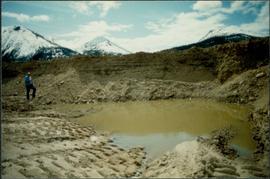
Photograph depicts an unidentified man standing to left of large puddle in gravel pit, mountain peaks in background. Photo speculated to have been taken on the plant, or near the Cassiar airstrip, facing south west. Stamped annotation on recto of photograph: "JUN. 1987".
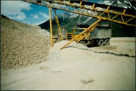
Photograph depicts yellow conveyor belt in foreground over gravel pit, dump truck behind in midground. Mountains visible in background. Photo speculated to have been taken at the plant or near the Cassiar airstrip. Stamped annotation on recto of photograph: "JUN. 1987".
Photograph is one of seven images orginally included within a diary dated 12-22 November 1987. Photos depict a day to day account of Canadian University Service Overseas (CUSO) mission to establish whether or not a Canadian presence is justified in the fight against Apartheid and for the liberation of Namibia within a Soviet Sphere Socialist State. See also items 2009.6.1.490 - 2009.6.1.496.
File contains slides depicting the Kootenay Plains and surrounding areas in Alberta.
Image depicts an abandoned cabin and shed on Blackwater Road.
File consists of "South Fort George: A trip to the past", a heritage brochure prepared by the South Fort George Community Association.
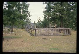
Image depicts a small graveyard at an uncertain location.
Image depicts numerous individuals standing near the Ranch house and McLean Cabin on the historic Hat Creek Ranch site north of Ashcroft, B.C.
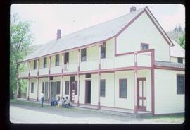
Image depicts several individuals sitting on the front porch of the Ranch house on the historic Hat Creek Ranch site north of Ashcroft, B.C.
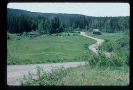
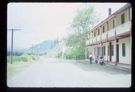
Image depicts the road leading to the historic Hat Creek Ranch site north of Ashcroft, B.C. Several individuals are sitting on the front porch of the Ranch house.
Item is an original 1987 map depicting Saxton Lake in British Columbia, published by the Department of Energy, Mines and Resources Ottawa, Canada. The map includes pen markings.
File contains slides depicting places in Saskatchewan.
File consists of notes, reproductions, and letters relating to L.C. Gunn Park in Prince George. Includes: "Signage for Gunn Park" letter from Kent Sedgwick to the Mayor and Council (21 Dec. 1989); "L.C. Gunn viewpoint a proposal" documents within a duotang (1987); and "Donation to the City of Prince George" typescript letter from Graham Farstad to the Administration Committee ( 1 June 1988). Includes photographs depicting the opening of L.C. Gunn Park and the sign unveiling (3 Oct. 1988).
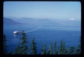
Image depicts a ferry entering Horseshoe Bay in the Howe Sound region.
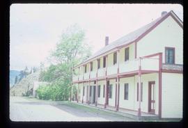
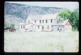
Image depicts the front of the ranch house on the historic Hat Creek Ranch site north of Ashcroft, B.C.
Image depicts a river at an uncertain location in either the Lillooet or Kamloops area.
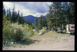
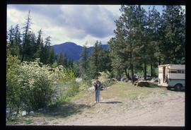
Image depicts Sue Sedgwick standing next to a camper.
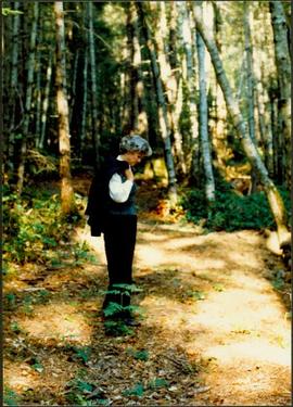
Image depicts Sue Sedgwick standing on the bank of a river.
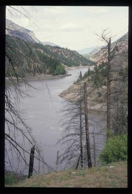
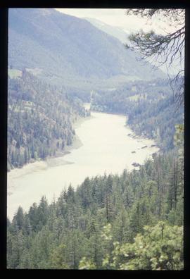
Image depicts what is possibly either the Fraser or the Thompson River.
Image depicts what is possibly either the Fraser or the Thompson River.
Item is an original 1986 map depicting the Peace River to Liard region of British Columbia, published by the Outdoor Recreation Council of British Columbia.
File consists of notes, clippings, and reproductions relating to bibliographic references about the central interior of British Columbia. Includes: "Pioneers of the Central Interior" pamphlet from the Prince George Public Library (Nov. 1986) and "Manitoba Department of Tourism and Cultural Affairs" typescript letter from Shirlee Anne Smith to Frank Leonard (9 May 1980).
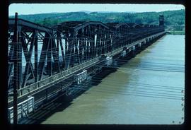
Image depicts a bridge in Prince George, B.C.
File contains slides depicting Chemanus, B.C.
Image depicts an aerial view of Fort George Park.
Item is an original 1986 map depicting Salmon Valley in British Columbia and was published by the Department of Energy, Mines and Resources Ottawa Canada.
File consists of notes, clippings, and reproductions relating to the South Fort George townsite. Includes "Name change from Glenora Park to Paddlewheel Park" typescript letter from Kent Sedgwick to The Mayor and Council (12 Sept. 1988).
File contains slides depicting the opening of the Cottonwood Park section of the Heritage River Trails in Prince George, B.C.
