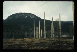
Image depicts numerous totem poles in Kispiox, B.C.
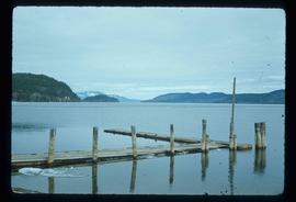
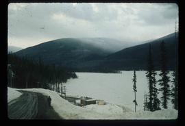
Image depicts Babine Lake.
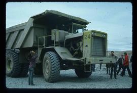
Image depicts an 80 tonne truck at a mine site somewhere in Granisle, B.C.
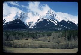
Image depicts the peak of the Rocher de Boule mountain from Hazelton, B.C.
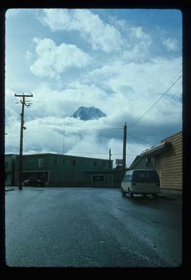
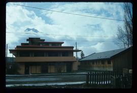
Image depicts the Inlander Hotel in Hazelton, B.C. The peak of the Rocher de Boule mountain is visible in the background.
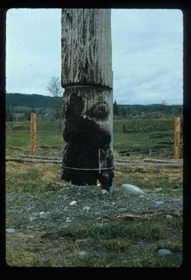
Image depicts an old, partially burnt totem pole in Kispiox, B.C.
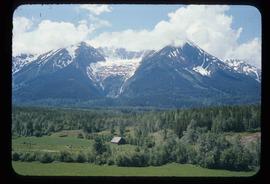
Image depicts a mountain in Smithers, B.C.
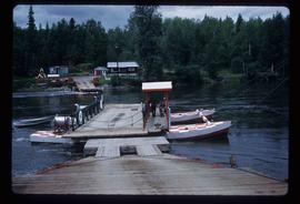
Image depicts the ferry at Isle Pierre, B.C.
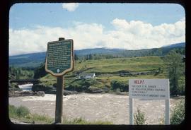
Image depicts the Bulkley River running through Moricetown Canyon.
Image depicts a stretch of road through the Bulkley Valley.
Image depicts a mountain in Smithers, B.C.
Image depicts Cottonwood Island.
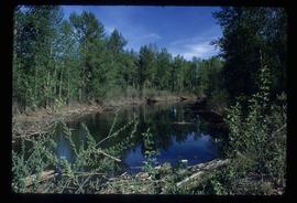
Image depicts a small stream somewhere on Cottonwood Island.
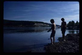
Image depicts two youths fishing from the bank of the Nechako River on Cottonwood Island.
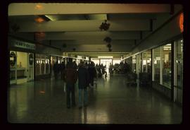
Image depicts numerous individuals inside a mall in Mackenzie, B.C.
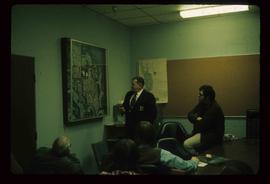
Image depicts numerous individuals examining a map as they are seated around a table. The location of the meeting is somewhere in Mackenzie, B.C.
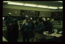
Image depicts numerous individuals wearing hard hats in what appears to be a computer room somewhere in Mackenzie, B.C.
File consists of notes and reproductions relating to an Environmental Studies Diploma offered at the College of New Caledonia.
File consists of records created and collected by Kent Sedgwick regarding Cottonwood Island in connection with his employment with the City of Prince George Planning Department. Includes briefs, proposals, memoranda, correspondence, newspaper clippings, questionnaires, legal correspondence, meeting minutes, and photocopied excerpts from maps/plans. Also includes two polaroid photo prints depicting garbage in Cottonwood Island Park circa 1979. Highlights include:
- Prince George Kiwanis Club, "Brief to City Council, City of Prince George, re: Nechako Riverfront Park", 12 Mar. 1973.
- New Caledonia Institute of Environmental Studies, "Proposal for Cottonwood Island as a Park Reserve", Summer 1973.
- "Cottonwood Island Study", [before 1975] (photocopy).
- Mary Fallis, "Letter to the Editor of The Citizen", 5 Mar. 1976 (photocopy).
- City of Prince George Planning Department, "Ownership, Legal and Assessment Data - Private and School District Properties within the Proposed Replot Area [Island Cache]", 11 Oct. 1978.
- "Assessed Values for City and Crown Lands within the Proposed Replot Area North of First Ave" (handwritten table), 16 Oct. 1978.
File consists of clippings, notes, and reproductions relating to the history of Cottonwood Island in Prince George. Includes: "A brief history of cottonwood island" typed draft by Kent Sedgwick (Nov. 2009); "Cottonwood Island area suggestions for street names" typescript document by Kent Sedgwick for the Heritage Advisory Committee; and "Proposal for Cottonwood Island as a park reserve" typescript document by Kent Sedgwick (Aug. 1973). File also includes "Kent Sedgwick - Island Cache / Cottonwood Island" a CD-R containing photographs of the Cottonwood Island and Island Cache area (2009).
File consists of a typescript report in a duotang titled "Carp Lake Park Report: 1973" by Leon E. Pavlick.
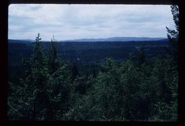
Image depicts a view of Blackwater in the country near Punchaw, B.C.
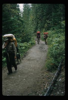
Image depicts three men and a dog on the hiking trail near Mt. Robson.
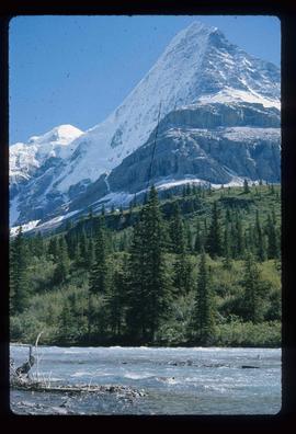
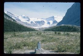
Image depicts what is possibly the Robson River at the base of Mt. Robson.
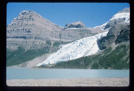
Image depicts the Berg Glacier and Berg Lake near Mt. Robson.
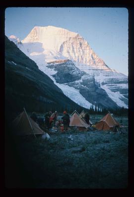
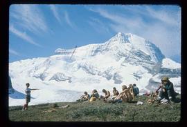
Image depicts a camp of people with Mt. Robson and the Berg Glacier in the background.
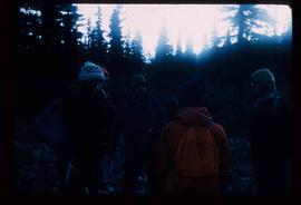
Image depicts five unknown individuals somewhere near Mt. Robson.
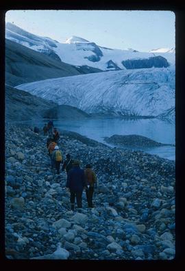
Image depicts a group of people heading towards a glacier, possibly the Robson Glacier.
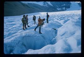
Image depicts a group of people hiking on a glacier, possibly the Robson Glacier.
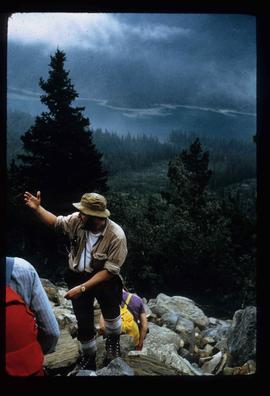
Image depicts a man talking to a group of hikers, with what is possibly Mt. Robson and the Robson Glacier in the background.
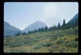
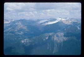
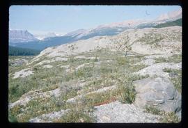
Image depicts a range of mountains in the Mt. Robson Provincial Park.
Image depicts a view of Mt. Robson Provincial Park.
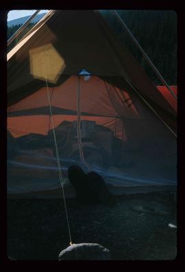
Image depicts an unknown individual reading inside a tent somewhere in Mt. Robson Provincial Park.
Image depicts a group of hikers somewhere in Mt. Robson Provincial Park.
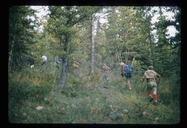
Image depicts a group of people hiking through trees somewhere in Mt. Robson Provincial Park.
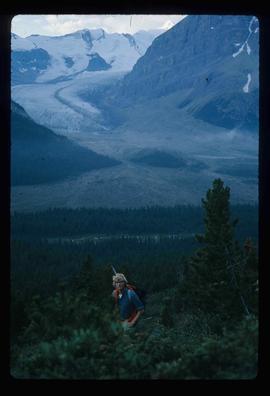
Image depicts a man, with what is possibly the Robson Glacier visible in the background.
Image depicts Kent Sedgwick speaking to a group of hikers.
Image depicts a view of Mt. Robson Provincial Park.
Image depicts a man looking at some papers. It is most likely Kent Sedgwick.
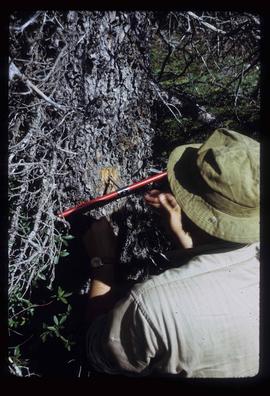
Image depicts a man, most likely Kent Sedgwick, using what appears to be some type of a spigot on a tree.
Image depicts a view of Mt. Robson Provincial Park.
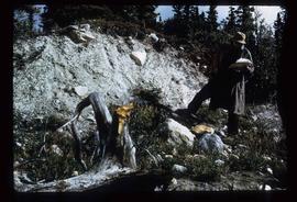
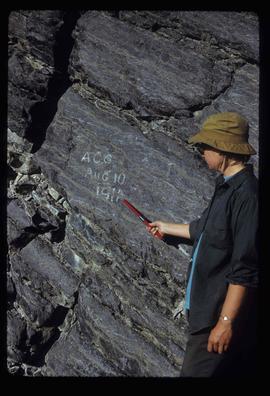
Image depicts an unknown individual pointing at some writing on a rock; it possibly reads "ACC Aug 10 1911."
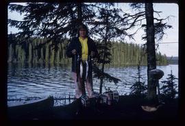
Image depicts a man holding a chain of fish on the shore of Carp Lake.
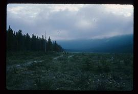
Image depicts a low rain cloud over Carp Lake.
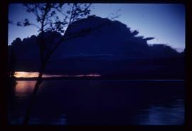
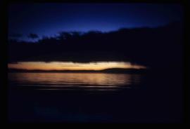
Image depicts Carp Lake at dusk.
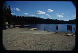
Image depicts a boat launch with several people nearby; it is possibly at War Lake in Carp Lake Provincial Park.
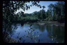
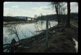
Image depicts what is possibly a small section of the Nechako River on Cottonwood Island.
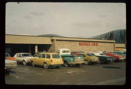
Image depicts numerous vehicles parked outside a building with a sign which reads "Mackenzie Centre;" it is possibly the mall in Mackenzie, B.C.
Image depicts the frozen Morfee Lake just to the East of Mackenzie, B.C. The slide is also labelled "sub-boreal," referencing that it is a sub-boreal spruce zone.
Image depicts numerous trees damaged by beavers near the Nautley River.
