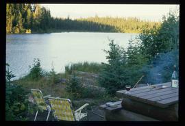
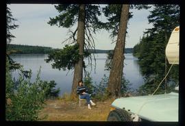
2012.13.1.108
·
Subseries
·
1989
Part of J. Kent Sedgwick fonds
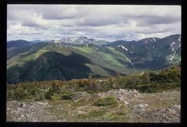
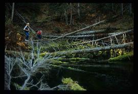
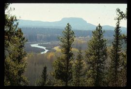
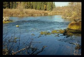
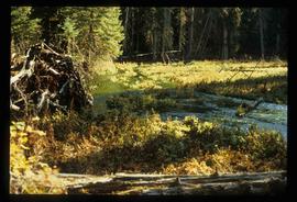
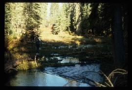
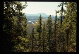
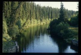
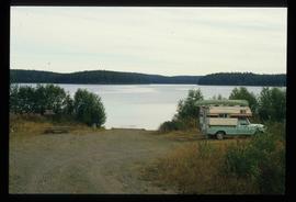
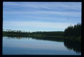
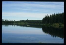
File contains slides depicting various places in the USA.