File contents relate to: Engineering. Document type(s) include: blueprints, plans.
File contents relate to: Engineering, Asbestos. Document type(s) include: blueprint.
File contents relate to: Mining Issues / Mining Industry, Accounting / Payroll. Notes: for April, May, June, September, November, and December 1981.
File contents relate to: Accounting / Payroll. Document type(s) include: carbon copy.
The Cartographic Materials series consists of maps, plans, schematics and blueprints documenting a wide variety of subject areas pertaining to both the operation of the Cassiar Asbestos Corporation Ltd., and the company township of Cassiar, B.C.
Cassiar Asbestos Corporation Ltd.File contents relate to: Engineering. Document type(s) include: summary. Notes: includes handwritten summary of costs.
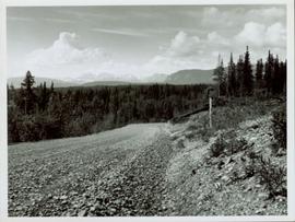
View of snow capped mountains in the distance, vast rolling treed hills in mid ground and a gravel road in the foreground. Road sign indicating severe curve in road situated at the right of the gravel road. Handwritten annotation on verso in pen reads: “Cassiar – Stewart highway”
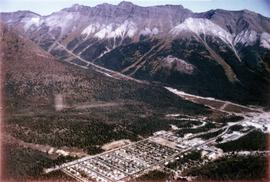
Photograph depicts the Cassiar town in foreground, mine valley and north mountain range in background. Photograph speculated to have been taken during the plane ride of an outside exploration trip.
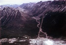
Photograph depicts the Cassiar mine valley in north mountain range. Plant and tailings pile can be seen in right foreground, and the east end of the town is visible in left foreground. Photograph speculated to have been taken during the plane ride of an outside exploration trip.
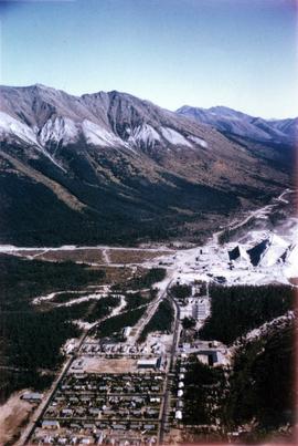
Photographs depict aerial views of the Cassiar townsite, plantsite, tailings pile, mine road, bench and pit mine, mine buildings (tramline loading station, crusher, shop, and garage), and surrounding mountain range. Here "aerial" refers to photos depicting a large area and taken from the air or from a high point of elevation.
Photograph depicts the Cassiar valley, showing the east end of town in foreground. Plant and tailings pile can be seen in right midground. Photograph speculated to have been taken during the plane ride of an outside exploration trip.
File contents relate to: Accounting / Payroll. Document type(s) include: account book.
File contents relate to: Accounting / Payroll. Document type(s) include: invoices. Notes: Miscellaneous invoices.
A set of 13 maps showing approximate waste extraction areas for different benches during certain months of 1972. Extraction dates are included accompanied by estimated total tonnages for each planned extraction area. All plans are hand drawn using colored pencils, lead and black ink. Approximate calculations of extraction tonnages are included within certain months. Numerical bench markers are included. Total tonnages from the previous year and previous surveys are included within certain plans.
File contents relate to: Accounting / Payroll, Cassiar Mine - operation and administration. Document type(s) include: report.
File contents relate to: Accounting / Payroll, Cassiar Mine - operation and administration. Document type(s) include: report. Notes: 2 copies.
File contents relate to: Accounting / Payroll, Cassiar Mine - operation and administration. Document type(s) include: report.
File contents relate to: Cassiar Mine - operation and administration. Document type(s) include: report.
Fonds consists of textual, photographic, cartographic, electronic and promotional films/video recordings related to the mining operations of Cassiar Asbestos Mining Corporation (CAMC) and creation of Cassiar townsite. CAMC records primarily consist of records related to mining operations including construction, engineering, daily mining operations, administration of CAMC, tallies of extractions, labour and union activities, corporate events and visits by dignitaries. Townsite records are primarily visual representations of townsite construction, including the creation of health, education and community services including Cassiar's private hospital, school, library, as well as townsite images. Photographs include documentation of natural and man-made landscapes within the Cassiar region of Northern BC. Other holdings include a near complete run of Cassiar's community newspaper.
Cassiar Asbestos Corporation Ltd.File contents relate to: Accounting / Payroll. Document type(s) include: detailed report.
File contents relate to: Accounting / Payroll. Document type(s) include: detailed report.
File contents relate to: Accounting / Payroll. Document type(s) include: detailed report.
File contents relate to: Accounting / Payroll. Document type(s) include: detailed report.
These blueprints show the proposed layouts and profiles of the tramway to be constructed in Cassiar. Detailed plans for the bucket design as well as the transfer station and operations of the monocable are included.
This blueprint shows the side profile of the proposed tramway to be built in Cassiar. It includes scale drawings of the crusher building, power house and support structures. The degree of tilt of the support structures are marked down where applicable. The side profile is divided into five sections due to the scaled height in elevation and the lack of drawing space. Annotation written along the leading edge of the blueprint reads "Proposed Tramway Riblet".
File contents relate to: Asbestos. Document type(s) include: file inserts.
File contents relate to: Cassiar Mine - operation and administration, Accounting / Payroll. Document type(s) include: detailed report, memorandums.
File contents relate to: Cassiar Mine - operation and administration. Document type(s) include: report.
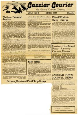
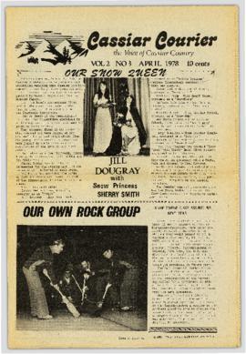
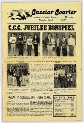
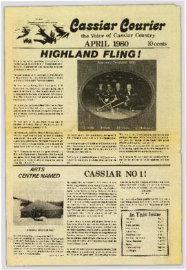
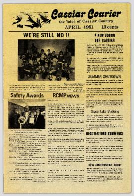
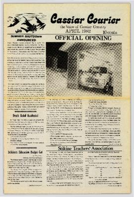
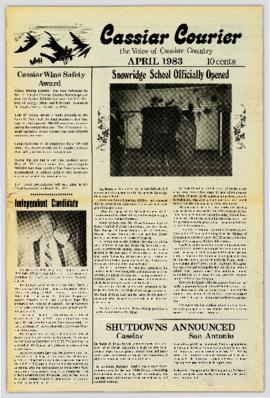
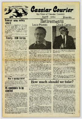
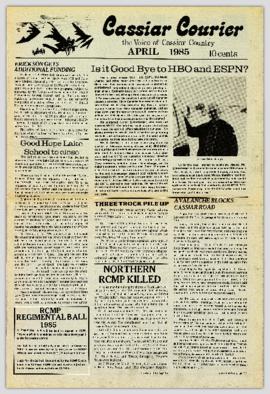
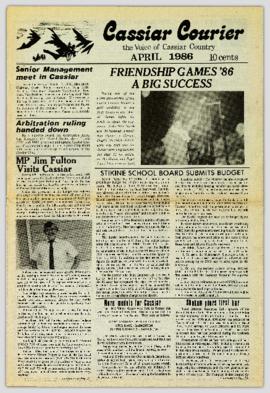
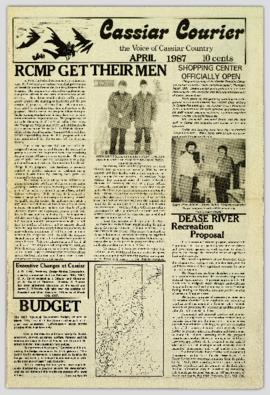
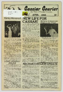
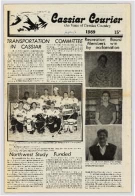
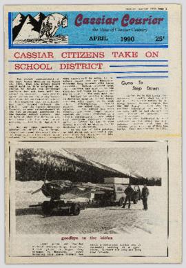
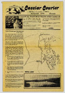
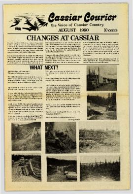
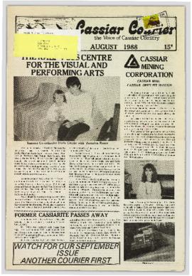
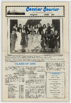
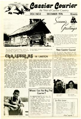
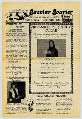
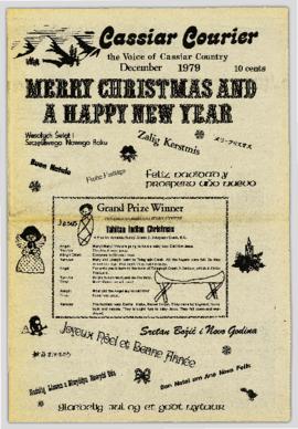
On March 7, 1956 the Cassiar Reporters Guild published one issue of an untitled newspaper simply titled "The Cassiar?" (vol.1, no.1) along with a "name that newspaper" contest call out to the local community. It is believed that no other issue of this first volume was published until December 7, 1957 when The Asbestos Sheet (vol.2, no.1) was published. The Asbestos Sheet, was generally published twice a month and ran from December 1957 to September 1976; after which time both its name and its format changed: the 8-1/2 x 10" news bulletin changing to an 11 x 17" newspaper; and The Asbestos Sheet becoming the Cassiar Courier. The Courier was published monthly from fall 1976 until February 1991 when it stopped circulation shortly before the closure of both the mine and the company town.
"The Cassiar Courier" is a newspaper that documents the community and work life of the residents of Cassiar BC. Content includes text and photographs, as well as jokes, comics, and games.
"The Cassiar Courier" is a newspaper that documents the community and work life of the residents of Cassiar BC. Content includes text and photographs, as well as jokes, comics, and games.
"The Cassiar Courier" is a newspaper that documents the community and work life of the residents of Cassiar BC. Content includes text and photographs, as well as jokes, comics, and games.
"The Cassiar Courier" is a newspaper that documents the community and work life of the residents of Cassiar BC. Content includes text and photographs, as well as jokes, comics, and games.
"The Cassiar Courier" is a newspaper that documents the community and work life of the residents of Cassiar BC. Content includes text and photographs, as well as jokes, comics, and games.
"The Cassiar Courier" is a newspaper that documents the community and work life of the residents of Cassiar BC. Content includes text and photographs, as well as jokes, comics, and games.
"The Cassiar Courier" is a newspaper that documents the community and work life of the residents of Cassiar BC. Content includes text and photographs, as well as jokes, comics, and games.
"The Cassiar Courier" is a newspaper that documents the community and work life of the residents of Cassiar BC. Content includes text and photographs, as well as jokes, comics, and games.
"The Cassiar Courier" is a newspaper that documents the community and work life of the residents of Cassiar BC. Content includes text and photographs, as well as jokes, comics, and games.
"The Cassiar Courier" is a newspaper that documents the community and work life of the residents of Cassiar BC. Content includes text and photographs, as well as jokes, comics, and games.
"The Cassiar Courier" is a newspaper that documents the community and work life of the residents of Cassiar BC. Content includes text and photographs, as well as jokes, comics, and games.
"The Cassiar Courier" is a newspaper that documents the community and work life of the residents of Cassiar BC. Content includes text and photographs, as well as jokes, comics, and games.
"The Cassiar Courier" is a newspaper that documents the community and work life of the residents of Cassiar BC. Content includes text and photographs, as well as jokes, comics, and games.
"The Cassiar Courier" is a newspaper that documents the community and work life of the residents of Cassiar BC. Content includes text and photographs, as well as jokes, comics, and games.
"The Cassiar Courier" is a newspaper that documents the community and work life of the residents of Cassiar BC. Content includes text and photographs, as well as jokes, comics, and games.
"The Cassiar Courier" is a newspaper that documents the community and work life of the residents of Cassiar BC. Content includes text and photographs, as well as jokes, comics, and games.
"The Cassiar Courier" is a newspaper that documents the community and work life of the residents of Cassiar BC. Content includes text and photographs, as well as jokes, comics, and games.
"The Cassiar Courier" is a newspaper that documents the community and work life of the residents of Cassiar BC. Content includes text and photographs, as well as jokes, comics, and games.
"The Cassiar Courier" is a newspaper that documents the community and work life of the residents of Cassiar BC. Content includes text and photographs, as well as jokes, comics, and games.
"The Cassiar Courier" is a newspaper that documents the community and work life of the residents of Cassiar BC. Content includes text and photographs, as well as jokes, comics, and games.
"The Cassiar Courier" is a newspaper that documents the community and work life of the residents of Cassiar BC. Content includes text and photographs, as well as jokes, comics, and games.
