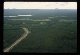
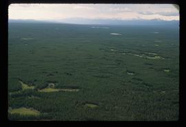
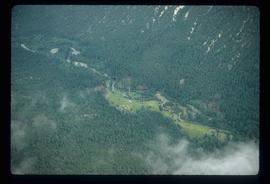
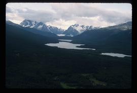
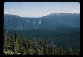
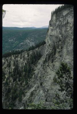
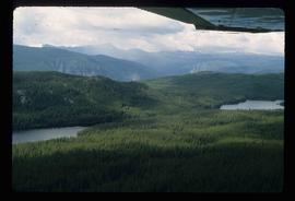
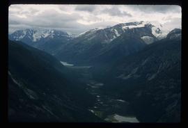
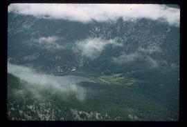
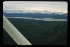
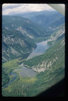
Image depicts an aerial view of South Tweedsmuir Provincial Park.
Image depicts an aerial view of South Tweedsmuir Provincial Park.
Image depicts an aerial view of South Tweedsmuir Provincial Park.
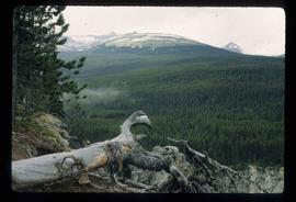
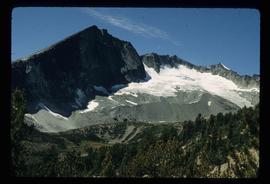
Image depicts a view of South Tweedsmuir Provincial Park.
Image depicts an aerial view of a chain of lakes in South Tweedsmuir Provincial Park.
Image depicts an aerial view of South Tweedsmuir Provincial Park.
Image depicts an aerial view of South Tweedsmuir Provincial Park.
Image depicts an aerial view of South Tweedsmuir Provincial Park.
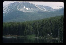
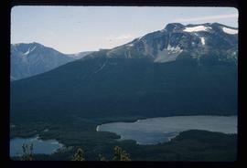
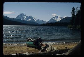
Image depicts a lake and mountain somewhere in South Tweedsmuir Provincial Park.
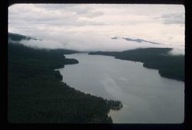
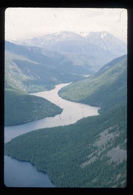
Image depicts an aerial view of a lake in South Tweedsmuir Provincial Park.
Image depicts an aerial view of South Tweedsmuir Provincial Park.
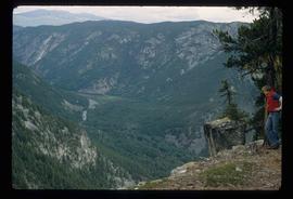
Image depicts a view of South Tweedsmuir Provincial Park. An unidentified man stands on the side of the image.
Image depicts an aerial view of Glacier Mountain in South Tweedsmuir Provincial Park.
Image depicts an aerial view of a "glaciated valley" in South Tweedsmuir Provincial Park. Glacier Mountain is present in the image.
Image depicts an aerial view of South Tweedsmuir Provincial Park. The lake is possibly Lonesome Lake.
Image depicts an aerial view of what is likely Turner Lake in South Tweedsmuir Provincial Park.
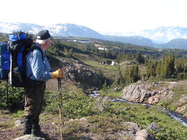
Photograph depicts Gary Runka backpacking in South Tweedsmuir Provincial Park.
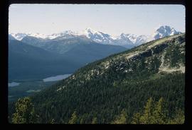
Image depicts an aerial view of what is likely Glacier Mountain in South Tweedsmuir Provincial Park. The two lakes present are possibly Vista and Junker.
Image depicts an aerial view of a lake in South Tweedsmuir Provincial Park. It is possibly Lonesome Lake.
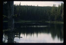
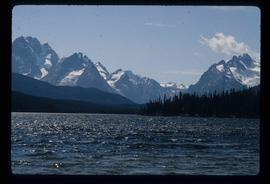
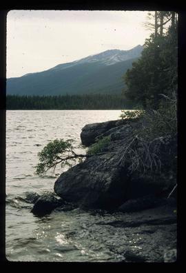
Image depicts a lake in South Tweedsmuir Provincial Park.
Image depicts a lake in South Tweedsmuir Provincial Park.
Image depicts a lake in South Tweedsmuir Provincial Park.
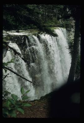
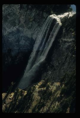
Image depicts a waterfall somewhere in South Tweedsmuir Provincial Park.
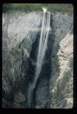
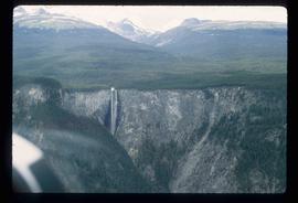
Image depicts an aerial view of a waterfall in South Tweedsmuir Provincial Park.
Image depicts an aerial view of a lake in South Tweedsmuir Provincial Park.
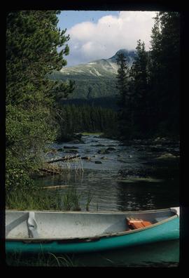
Image depicts a lake in South Tweedsmuir Provincial Park. There is a canoe present on the shore.
Image depicts an aerial view of a waterfall in South Tweedsmuir Provincial Park.
Image depicts an aerial view of a waterfall in South Tweedsmuir Provincial Park.
Image depicts a canoe on a river somewhere in South Tweedsmuir Provincial Park.
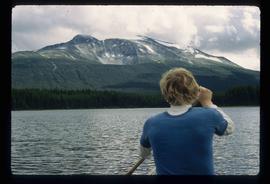
Image depicts a lake in South Tweedsmuir Provincial Park. There is an unknown individual present in a canoe with the camera-man.
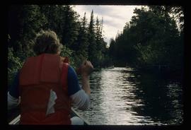
Image depicts a river in South Tweedsmuir Provincial Park. There is an unknown individual present in a canoe with the camera-man.
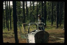
Image depicts Kent Sedgwick standing beside a wrecked plane somewhere in South Tweedsmuir Provincial Park.
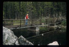
Image depicts an unidentified man standing on a wood bridge somewhere in South Tweedsmuir Provincial Park.
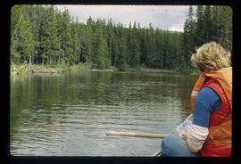
Image depicts a lake in South Tweedsmuir Provincial Park. There is an unknown individual present in a canoe with the camera-man.
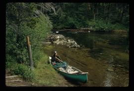
Image depicts a man in a canoe on a river somewhere in South Tweedsmuir Provincial Park. The man is possibly Kent Sedgwick.
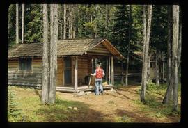
Image depicts an unknown individual in the J. Edwards Camp in South Tweedsmuir Provincial Park.
Image depicts an unknown individual eating in a camp somewhere in South Tweedsmuir Provincial Park.
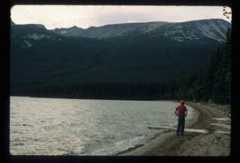
Image depicts a lake in South Tweedsmuir Provincial Park. An unknown individual is walking along the shore.
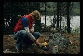
Image depicts an unidentified man lighting a fire somewhere in South Tweedsmuir Provincial Park.
Item is a photocopied report by Don Miller entitled "Observations of Caribou and Caribou Environment in Northern and Southern Tweedsmuir Park and Wells Gray Park in Summer of 1977 with Comments on Related Observations in Spatsizi Park during Spring".
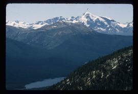
Image depicts a small section of Turner Lake, with what is most likely Glacier Mountain in the distance; they are located in South Tweedsmuir Park, B.C.
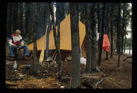
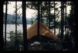
Image depicts a camp on the shore of a lake in South Tweedsmuir Provincial Park. The man sitting in the bottom right corner is possibly Kent Sedgwick.
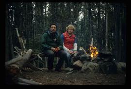
Image depicts Kent Sedgwick (the man with a pipe in green) and an unknown individual sitting around a campfire somewhere in South Tweedsmuir Provincial Park.
This external hard drive contains back-up files from Gary Runka and Joan Sawicki's computers. The digital files consist of personal, professional, and business records. Includes textual documents (PDF and Word format), spreadsheets (Excel), digital images (JPEG), and email backup files.
File consists of a presentation folder containing the Official Report of Debates of the Legislative Assembly (Hansard) from Wednesday, February 12, 2014 Afternoon Sitting (Volume 5, Number 2) which includes a tribute to Gary Runka. Also includes a DVD.
File consists of notes, clippings, and reproductions relating to the Cariboo and Northwest Digest publication. Also includes a CD-R that contains Sedgwick's index spreadsheet and accompanying documentation about the publication.
This fonds illustrates the life and work of G. Gary Runka and his contributions to the province of British Columbia. Gary Runka was the first General Manager of British Columbia's Agricultural Land Commission and helped establish the provincial Agricultural Land Reserve. After transitioning from a government career to private consulting, Runka provided comprehensive professional services through his land consultancy business, G.G. Runka Land Sense Ltd., offering land capability and environmental assessments, integrated resource management, land and water use conflict resolution, and interdisciplinary land use planning. Described by colleagues as one of BC's most highly respected agrologists and influential land use planners, Runka had a 52-year career working on (or against) an incredible number of landmark projects in British Columbia, such as the Site C Project. Gary Runka’s partner in life and vocation, Joan M. Sawicki, worked with Gary on many of these projects—as well as her own; her contributions are also represented throughout the records of this fonds.
Gary Runka's deep connection to the land is evident from his earliest papers on aerial photo interpretation, his work with the Canada Land Inventory, through his speeches and his work establishing the BC Agricultural Land Reserve and in his subsequent consulting career through G.G. Runka Land Sense Ltd. Gary Runka's influence and legacy was recognized in the tributes paid after his death, including the post-humus award as the Real Estate Foundation's "Land Champion" for 2014.
The G. Gary Runka fonds has been divided into the following nine series:
1) Personal Records
2) Speeches & Publications
3) Professional Records
4) Agricultural Land Commission
5) Land Sense Ltd.
6) Client Files
7) Maps
8) Photographs
9) Digital Records
Item is a detailed management plan for the following Stikine Country Protected Areas: Mount Edziza Provincial Park, Mount Edziza Protected Area (Proposed), Stikine River Provincial Park, Spatsizi Plateau Wilderness Provincial Park, Gladys Lake Ecological Reserve, Pitman River Protected Area, Chukachida Protected Area, Tatlatui Provincial Park.
This document is an unpublished draft manuscript of a Northern British Columbia history annotated bibliography. The document is based overwhelmingly on research into secondary sources published prior to 2016; more recent sources are not included. The annotated bibliography includes the following sections:
- Historiography
- Settlement Histories
- Alexander Begg's History of British Columbia
- R.E. Gosnell
- E.O.S. Scholefield
- Regional History
- New Histories
- Environment
- Northern History
- Ancient History
- Bibliography
