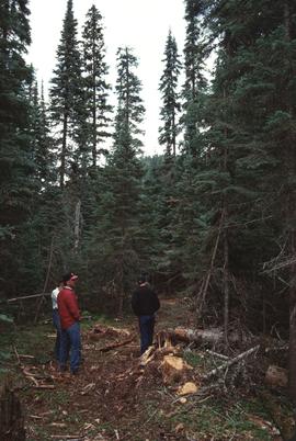
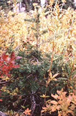
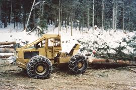
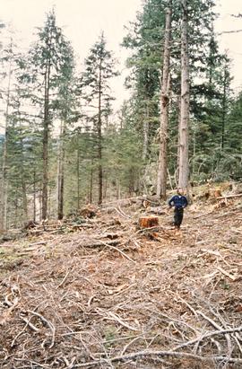
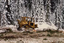
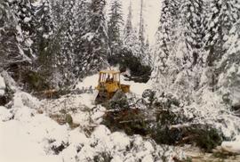
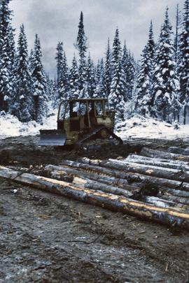
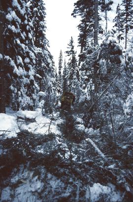
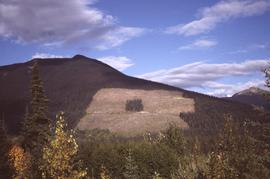
Annotation on slide: "[mostly illegible] Km 3 [?] pinker [?] cubic block"
Mylar map depicts the area encompassed by the Aleza Lake Research Forest.
Annotation on slide: "Horse-logging single-tree selection, Pass Lake SBSvk"
Annotation on slide: "BCMoF"
Annotation on slide: "Log skidding on main haul road, Fleet Creek Trial SS054, Jan. 1995"
Annotation on slide: "BC[?] advance regen. releasing in logged cedar block, ICHwk3"
No annotation on slide.
Mylar map is a plot map of a research plot at the Aleza Lake Research Forest. Provides date the plot was established, the harvest history, the silviculture history, remeasurement history, and information about individual trees.
Annotation on slide: "Lucille Mt. from Mt. Teare, Susan Stevenson, July 1994"
Mylar map is a plot map of a research plot at the Aleza Lake Research Forest. Provides date the plot was established, the harvest history, the silviculture history, remeasurement history, and information about individual trees.
Map depicts historical timber sales areas and permanent sample plots (PSPs) at the Aleza Lake Research Forest. This map may be a guide (or otherwise related) to maps 2006.18.5.43-59.
No annotation on slide.
Item is a forest cover map for Aleza Lake Research Forest (Special Use Permit 19070). Shows experimental plots and timber sale areas.
Annotation on slide: "Summit Lake trial, Teapot Mountain, Jull".
Annotation on photograph verso: "South of plots 27, 21. 15/1/92. (Post-logging). Summit Lake Selection Trial"
Annotation on photograph verso: "D-4 tracked skidder. 15/1/92. Summit Lake Selection Trial"
Annotation on photograph verso: "D-4 tracked skidder at Start of B Road. 15/1/92. Summit Lake Selection Trial"
Annotation on slide: "Summit Lake D4H highdrive"
Annotation on slide: "Summit Lake D4H on skid road"
Annotation on slide: "Summit Lake, D4H on narrow skid road".
Annotation on slide: "Summit Lake, D4H skidding logs".
Annotation on slide: "Summit Lake, March 1992".
Annotation on slide: "Summit Lk".
Annotation on slide: "Summit Lake Single-Tree Selection Trial 1992".
Annotation on slide: "20 cm radial growth on released subalpine fir, Summit Lk trial".
Annotation on slide: "Plot 3 uncut control plot, Summit Lake".
Annotation on slide: "Blowdown due to butt rot (tomentosus), Summit Lake".
No annotation on slide.
Item is a hand-drawn map of a plot in the Aleza Lake Research Forest. Individual trees are marked and numbered.
Annotation on slide: "Harry Coates with Sw seedlings planted spring of 1991, SBSwk1, Note chlorotic seedlings"
Annotation on photograph verso: "View SE from Jtn of A Road and Main Road. Uncut stand on left; selection logging virtually complete in centre and right. 15/1/92. Summit Lake Selection Trial"
Annotation on photograph verso: "View from Jtn of A Road and Main Road to NE. Pre-logging. 15/1/92. Summit Lake Selection Trial"