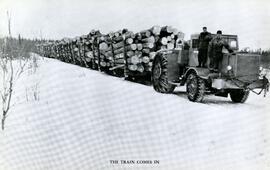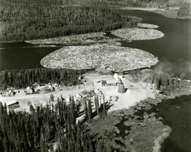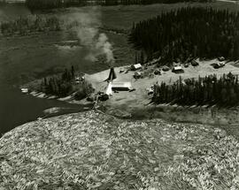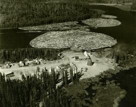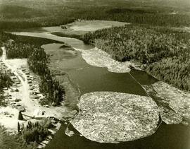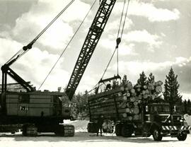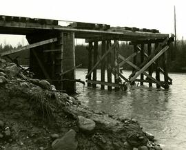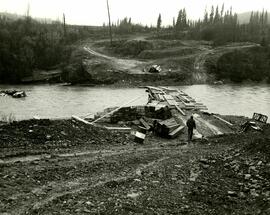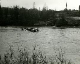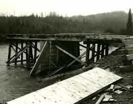
2022.03.1.01
·
Item
·
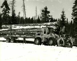
[between 1950 and 1955]
Part of Stowell Forestry Collection
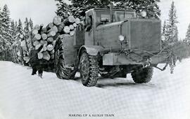
The item is a photograph depicting a logging truck with fully loaded sleighs of uncut timber in the winter. There is a man standing next to the truck talking to another man leaning out the passenger side window. Annotations on the reverse side of the photograph state, "The Pas Lumber Company Ltd. Log Sleigh Train early 1950's Reserve, Saskatchewan."