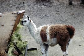
2020.4.8.1.0020
·
Item
·
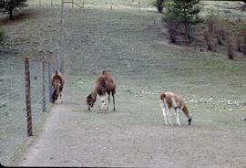
May 1968
Parte de G. Gary Runka fonds
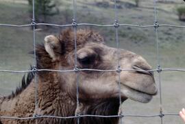
Slide depicts a close up of a llama eating hay. The photograph was taken in Kaleden, BC. Original slide index description: "Llama, Kaleden."