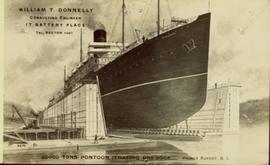
Illustration of a large ocean liner in dry dock. The name "Minnesota" is inscribed on the top right side of vessel. Annotation on recto reads: "William T. Donnelly Consulting Engineer 17 Battery Place Tel. Rector 1491 20000 tons pontoon floating dry dock Prince Rupert, BC"
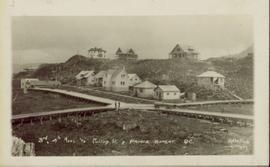
Photograph shows two men and a cart full of lumber at a street intersection. Various residential buildings are visible in the background and atop a large clear cut hill. Annotation on recto reads: "3rd, 4th Aves and Fullton St. Prince Rupert. BC. Allen Photo 8/Aug/09."
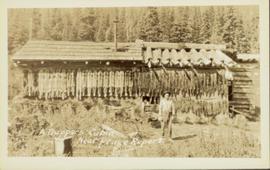
Head on photograph of a trapper standing in front of his cabin in Prince Rupert, BC. The front of the cabin is covered in various pelts. Printed annotation on recto reads: "A Trappers Cabin near Prince Rupert."
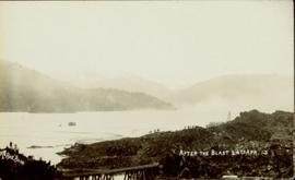
Foreground shows a rocky shore covered in debris. A small crowd is visible along the coastline, and there are foggy outlines of hills beyond the water. Annotation on recto reads: "McRae Bros After the Blast 24th Apr. 13."
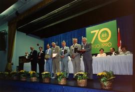
Photograph depicts recipients of the 1990 Agricultural Institute of Canada Fellow award at the 1990 AIC Convention at the Penticton Conference Centre. Gary Runka is third from right.
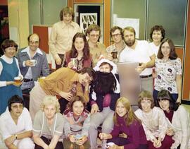
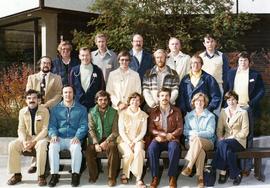
Photograph is a group portrait of BC Agricultural Land Commission staff members at a Christmas party. Back row, left to right: Patti, Terry Lewis, unknown, Julie Glover, Gordon Gram, Gary Holisko, Kirk Miller, unknown, Shirley Brightman. Middle row, left to right: Eve Lew, Jim Plotnikoff (Santa). Front row, left to right: Verona Hoosen, unknown, Jane Perch, Denise Jankovich, unknown, unknown.
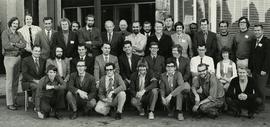
Photograph is a group portrait of the British Columbia Canada Land Inventory team. Back row, left to right: Rob Hawes, unknown, Ivan Cotic, Terje Vold, John Wilcox [?], Keith Valentine, unknown, Alec Green [?], Horst Baender, Dick Marshall, unknown, John Senyk, Bill Watt, Neville Gough, Dan Blower, unknown, Gavin Young, Craig Brownlee. Middle row, left to right: unknown, Peter Murtha, unknown, unknown, John Harris, Al Aldred, Gary Runka, Ed Oswald, Mary Redmond. Front row, left to right: Rick Williams, Gerry Howell-Jones, Chris Stanley-Jones, Larry Lacelle, John Jungen, Tom Pierce, Jim Van Barneveld.
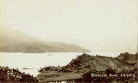
Foreground shows two rocky shores covered in dirt and wood debris, connected by a barely visible bridge. Annotation on recto reads: "Before the Blast Apr. 24th 13"
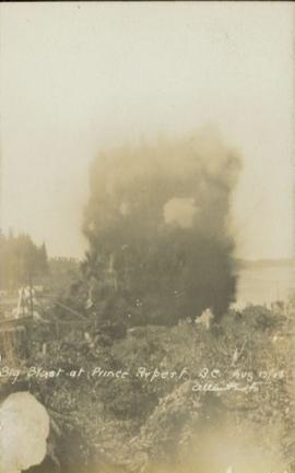
Photograph shows a large explosion surrounded by clearcut brush. Some machinery is visible in the foreground. Annotation on recto reads: "Big Blast at Prince Rupert BC Aug 17/08 Allen Photo."
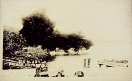
Photograph of a large explosion on what appears to be a shoreline. Printed annotation on recto reads: "'Big Blast' Prince Rupert. B.C."
Item is a hand drawn and coloured map by the City of Prince George Planning Department depicting the Blackburn neighbourhood development area's proposed sector plan in 1976.
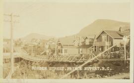
Wide angle view of Borden Street in Prince Rupert. Many residential buildings line the wooden road with railing. Printed annotation on recto reads: "Borden Street. Prince Rupert B.C."
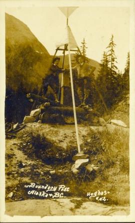
Photograph of two men posing next to a four-legged post erected in the wilderness. Printed annotation on recto reads: "Boundery[sic] Post Alaska & BC. Hughes #42."
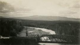
Photograph depicts two bridges crossing the Telkwa River. Wyness notes (on photograph verso) that this is where their survey crew traversed the river; he also noted erosion in the area.
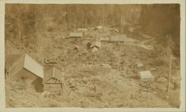
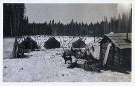
Photograph is a printed postcard depicting scattered small buildings and a tent. Trees have been removed from the area around the buildings and many stumps remain.
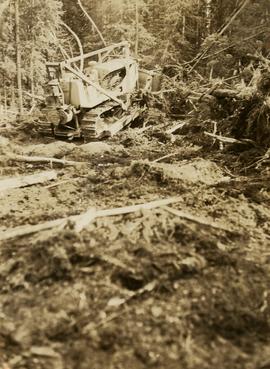
Photograph depicts a bulldozer clearing land for road making north of Stuart Lake.
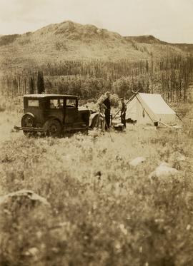
Photograph depicts (from left to right) Gordon Wyness and Jack Lee at their campsite at Sheraton. This location may reference the small community east of Burns Lake on the Canadian National Railway line. Wyness notes that "Sherton" [Sheraton?] Mountain is visible in the background of the photograph; the current name of that geographical feature could not be determined. The survey crew's car and tent are also visible in the image.
Photograph is a group portrait of the Canada Land Inventory team , possibly related to the National Soil Survey. Individuals identified: Norm Sprout (back row, 5th from left); Les Lavkulich (back row, 6th from left); Dr. Charlie Rowles (back row, 6th from right); Pat Duffy (3rd row back, 6th from right); Gary Runka (3rd row back, 5th from right).
Photograph is a group portrait of the attendees at a Canada National Land Use meeting. Back row, left to right: Gary Runka, Bruce Chambers, Frank Heaps, Vern Spencer, Peter Whiting. Middle row, left to right: Bob Scace, Lee Munn, Bill Bourgeois, Jim Murphy, Gerry Acott, Dave Rochefort. Front row, left to right: Mike Simmons, Les Cooke, John Hetherington, Betty McGregor, Daniel Paquette, Peggy Thompson, Patsy Murphy.
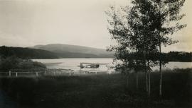
Photograph depicts the Canadian Airways Ltd Fairchild 71C CF-AWV float airplane at the shore of Burns Lake. The float plane was serving as a photography plane.
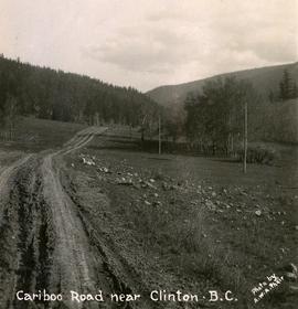
Photograph depicts the Cariboo Road near Clinton, B.C.
This file contains images of a land dispute around Cassiar. The photographs depict a cabin on a lot, a destroyed cabin, and outhouses. The accompanied documents in the original file refer to the subjects of "Claims, Leases, and Land lots," and it is implied that there were issues of squatters, illegal occupation, and mineral claims.
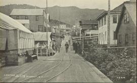
Photograph of residents in motion on Centre Street in Prince Rupert. Buildings are visible on either side of the street and a railway track runs down the length of the road. Annotation on recto reads: "Centre Street, Prince Rupert, BC. 1664."
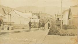
Street view of Centre Street in Prince Rupert, BC. Buildings are in various states of construction. Printed annotation on recto reads: "Centre St Prince Rupert B.C. June 20/08 JDA.""
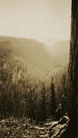
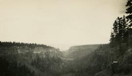
Photograph depicts "The Chasm" or "The Painted Chasm", located 11 miles north of Clinton, adjacent to the route of the Cariboo Road. In 1940, four years after this photograph was taken, Chasm Provincial Park was created in 1940 to preserve and promote the Painted Chasm feature, a gorge created from melting glacial waters eroding a lava plateau over a 10 million year span.
Photograph depicts "The Chasm" or "The Painted Chasm", located 11 miles north of Clinton, adjacent to the route of the Cariboo Road. In 1940, four years after this photograph was taken, Chasm Provincial Park was created in 1940 to preserve and promote the Painted Chasm feature, a gorge created from melting glacial waters eroding a lava plateau over a 10 million year span.
This map is part of Schedule B of the 1993 Official Community Plan, Bylaw No. 5909 for the City of Prince George. This particular map depicts the central area of the City of Prince George, including the Bowl area, the VLA, the Crescents, South Fort George, Heritage, and Peden Hill.
This map is part of Schedule B of the 1993 Official Community Plan, Bylaw No. 5909 for the City of Prince George. This particular map depicts the east area of the City of Prince George, including the Prince George Airport (YXS) and the Blackburn area.
This map is part of Schedule B of the 1993 Official Community Plan, Bylaw No. 5909 for the City of Prince George. This particular map depicts the northeast area of the City of Prince George, including the industrial areas on Prince George Pulpmill Road and Northwood Pulpmill Road along the Fraser River.
This map is part of Schedule B of the 1993 Official Community Plan, Bylaw No. 5909 for the City of Prince George. This particular map depicts the northwest area of the City of Prince George, including the North Nechako neighbourhood and the Hart.
This map depicts the City of Prince George's plan for soil removal and deposit.
This map is part of Schedule B of the 1993 Official Community Plan, Bylaw No. 5909 for the City of Prince George. This particular map reflects the 1998 amendment to the Official Community Plan.
This map is part of Schedule B of the 1993 Official Community Plan, Bylaw No. 5909 for the City of Prince George. This particular map reflects the 1998 amendment to the Official Community Plan.
This map is Schedule C of the 2001 Official Community Plan, Bylaw No. 7281 for the City of Prince George. This Schedule C map shows the long range land use for the City of Prince George.
This map is the May 2006 amendment (Bylaw 7807) of the Schedule C of the 2001 Official Community Plan, Bylaw No. 7281 for the City of Prince George. This Schedule C map shows the long range land use for the City of Prince George.
This map is the May 2008 amendment (Bylaw 8061) of the Schedule C of the 2001 Official Community Plan, Bylaw No. 7281 for the City of Prince George. This Schedule C map shows the long range land use for the City of Prince George.
This map is the October 2006 amendment (Bylaw 7807) of the Schedule C of the 2001 Official Community Plan, Bylaw No. 7281 for the City of Prince George. This Schedule C map shows the long range land use for the City of Prince George.
This map is the Schedule A accompanying map for the City of Prince George's Soil Removal and Deposit Bylaw No. 7022 of 1999. It depicts designated soil removal areas and M.O.T.H. gravel reserves.
This map is part of Schedule B of the 1993 Official Community Plan, Bylaw No. 5909 for the City of Prince George. This particular map depicts the southwest area of the City of Prince George, including College Heights, UNBC, University Heights, and Vanway.
Item is Map 2 of a group of five maps relating to a City of Prince George Study of Construction Aggregates by the firm Willis, Cunliffe, Tair & Company Limited. Map 2 shows development areas and aggregate requirements for 1984 and 1994. As the map is undated, it is unclear whether the 1984 and 1994 dates are future estimates.
Item is Map 1 of a group of five maps relating to a City of Prince George Study of Construction Aggregates by the firm Willis, Cunliffe, Tair & Company Limited. Map 1 shows development areas and population for 1984 and 1994. As the map is undated, it is unclear whether the 1984 and 1994 dates are future estimates.
Item is Map 4 of a group of five maps relating to a City of Prince George Study of Construction Aggregates by the firm Willis, Cunliffe, Tair & Company Limited. Map 4 shows development areas, aggregate sources, and requirements for 1984 and 1994. As the map is undated, it is unclear whether the 1984 and 1994 dates are future estimates.
Item is Map 5 of a group of five maps relating to a City of Prince George Study of Construction Aggregates by the firm Willis, Cunliffe, Tair & Company Limited. Map 5 shows drill hole locations.
Item is Map 3 of a group of five maps relating to a City of Prince George Study of Construction Aggregates by the firm Willis, Cunliffe, Tair & Company Limited. Map 3 shows geology of the Prince George area and known sources of construction aggregates.
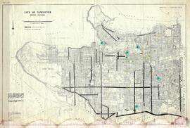
This municipal map of the City of Vancouver from 1987 shows street names and street widening information.
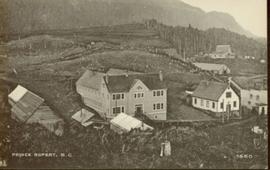
Close up photograph of a large residential building in a freshly clear cut area. To the right of the main building is the church and an unidentified commercial building. Annotation on recto reads: "Prince Rupert, BC 1660."
Item is a hand drawn and coloured map by the City of Prince George Planning Department depicting the College Heights and southwest (Vanway) neighbourhood area existing land use in 1976.
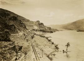
Photograph depicts a railway track along a river in the Columbia River Basin, north of Wenatchee, Washington.
Photograph depicts the confluence of the Fraser and Thompson Rivers at Lytton. Wyness originally misnoted the location as Lillooet, BC.

![Canada Land Inventory National Soil Survey [?] group portrait](/uploads/r/northern-bc-archives-special-collections-1/4/b/6/4b63620d93fd801efb07b2dd93008b6f63d5d340f359bdabe11106ae8bb04dbe/2020_4_8_2_005_142.jpg)


![City of Prince George - Schedule B of the Official Community Plan, Bylaw No. 5909 [1998 Amendment]](/uploads/r/northern-bc-archives-special-collections-1/d/6/d/d6d1c4e7e37fc948b97b3caa36447b52f7d2b76b13d45e3710aefee7b13840f0/2023.5.1.33_-_1998_Official_Community_Plan_City_of_PG_JPG85_tb_142.jpg)
![City of Prince George - Schedule B of the Official Community Plan, Bylaw No. 5909 [2001 Amendment]](/uploads/r/northern-bc-archives-special-collections-1/c/3/6/c36392b90696286cc6281e8cc2efbf7691c2617726495fa28db2cbdcc20e4e4c/2023.5.1.36_-_Official_Community_Plan_City_of_PG_Schedule_B_2001_JPG85_tb_142.jpg)

![City of Prince George - Schedule C of the Official Community Plan - Long Range Land Use Map [May 2006 Amendment]](/uploads/r/northern-bc-archives-special-collections-1/6/5/5/65536bc04aa97580c140131651dc357dfe5c3a1315822394f388d96940bc39cb/2023.5.1.39_-_2006_May_-_City_of_Prince_George_Long_Range_Land_Use_Map_JPG85_tb_142.jpg)
![City of Prince George - Schedule C of the Official Community Plan - Long Range Land Use Map [May 2008 Amendment]](/uploads/r/northern-bc-archives-special-collections-1/4/3/a/43a9e75941f1542735d999de340307d163e79dffdadbf4546bb9346b63f7e734/2023.5.1.41_-_2008_May_-_City_of_Prince_George_Long_Range_Land_Use_Map_JPG85_tb_142.jpg)
![City of Prince George - Schedule C of the Official Community Plan - Long Range Land Use Map [October 2006 Amendment]](/uploads/r/northern-bc-archives-special-collections-1/6/d/6/6d643c10801eba2ac493689972e57429dba42ec7592f54cb55151b96362d7048/2023.5.1.40_-_2006_Oct_-_City_of_Prince_George_Long_Range_Land_Use_Map_JGP85_tb_142.jpg)


