Item is a BC Hydro brochure promoting hydroelectric power projects in the Peace River area. Includes information about the W.A.C. Bennett Dam, the Portage Mountain Generating Station, the Williston Lake reservoir, and employment statistics relating to the projects from 1968.
Item is an orange bumper sticker with the BC Hydro logo and the words "I HAVE SEEN THE PEACE POWER PROJECT".
Item consists of transcript and tape summary of interview with Tom Waller who discusses fire protection and forest fires in the Prince George and Peace River region.
Sans titreItem consists of transcript and tape summary of interview with Elmer Nelson who discusses Axel Wenner- Gren's business interest in the Rocky Mountain Trench area of Northern British Columbia in the 1950s.
Sans titreItem consists of transcript of interview with writer, film maker, and guide outfitter Andy Russell conducted by Bob Harkins at Prince George Radio Station, CJCI regarding Russell's experiences with guiding in Northern Rockies. Russell also discusses his new work The Life of a River and discusses the environmental impact of hydro-electric development on rivers
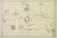
Sans titreColour-coded topographic map depicting lands surveyed as alienated, reserved, or open to preemption. Depicts land districts, land recording divisions, communities, bodies of water, communication lines, and transport routes.
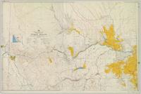
Colour-coded topographic map depicting surveyed lands alienated, available for purchase or lease, or available for pre-emption. Depicts land districts, land recording districts, parks, communities, bodies of water, transport routes, communication lines, and triangulation stations.
Map depicts the proposed electoral districts of British Columbia, including: Burnaby, Capilano, Cariboo-Chilcotin, Comox-Powell River, Cowichan-Malahat-The Islands, Esquimalt-Saanich, Fort Nelson-Peace River, Fraser Valley East, Fraser Valley West, Kamloops-Shuswap, Kootenay East, Kootenay West, Mission-Port Moody, Nanaimo-Alberni, New Westminster-Coquitlam, North Vancouver-Burnaby, Okanagan North, Okanagan-Similkameen, Prince George-Bulkley Valley, Richmond-South Delta, Skeena, Surrey-White Rock-North Delta, Vancouver Centre, Vancouver East, Vancouver Kingsway, Vancouver Quadra, Vancouver South, and Victoria.
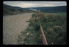
Image depicts a road with a guardrail and open fields somewhere near Dawson Creek, B.C.
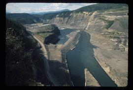
Image depicts a section of the Peace River blocked off by the W.A.C. Bennett Dam. The dam itself is not visible in the image.
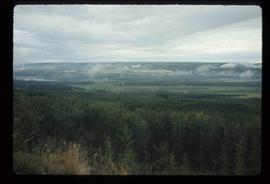
Image depicts an area of forests and fields somewhere near Fort St. John, B.C.
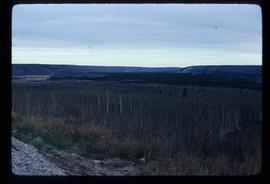
Image depicts a section of forest located somewhere in the Peace River Regional District of B.C.
Image depicts a dam on what is possibly the Peace River.
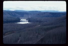
Image depicts what is possibly the Peace River running parallel to a road, possibly Highway 29.
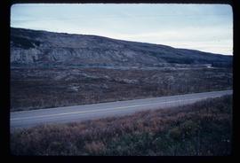
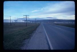
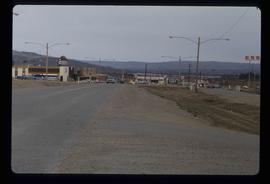
Image depicts a stretch of highway, possibly Highway 29 or 97.
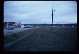
Image depicts a street of shops at an uncertain location somewhere in the Peace River Regional District. A pink and blue building, possibly a theatre, is labelled "Lux."
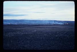
Image depicts grass burning at an uncertain location in the Peace River Region.
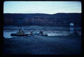
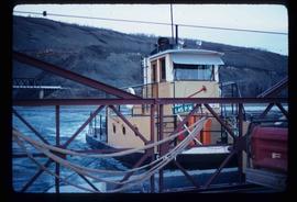
Image depicts the Clayhurst Ferry on the Peace River.
Image depicts the Clayhurst Ferry on the Peace River.
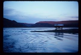
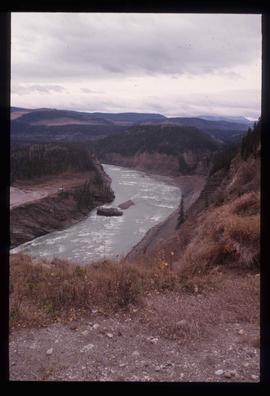
Image depicts the Peace River, possibly near Clayhurst or Hudson's Hope, B.C.
Image depicts the Peace River, possibly near Clayhurst or Hudson's Hope, B.C.
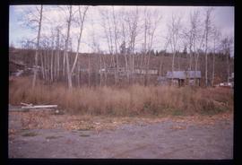
Image depicts a cabin and several other buildings, possibly located in Hudson's Hope, B.C.
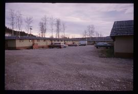
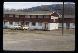
Image depicts what appears to be a motel in Hudson's Hope, B.C. The slide is labelled "camp HH."
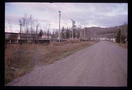
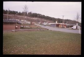
Image depicts a road and numerous buildings in Hudson's Hope, B.C.
Image depicts what appears to be a Fire Hall in Hudson's Hope, B.C.
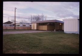
Image depicts two houses in Hudson's Hope, B.C.
Image depicts what appears to be a Fire Hall in Hudson's Hope, B.C.
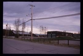
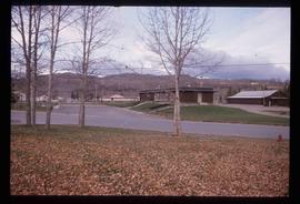
Image depicts a street in Hudson's Hope, B.C.
Image depicts a street with a building which is labelled "MacKeigan Enterprises Ltd." in Hudson's Hope, B.C.
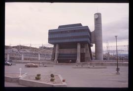
Image depicts the W.A.C. Bennett Dam in Hudson's Hope, B.C.
Image depicts the Peace River, possibly near Hudson's Hope, B.C.
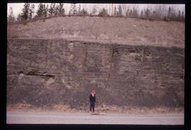
Image depicts an unidentified individual standing in front of a rock face with visible sediment layers. Located somewhere in the Peace River Region, possibly near Hudson's Hope.
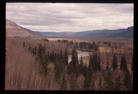
Image depicts what is possibly the Peace River.
Image depicts what is either the Peace or Kiskatinaw River in Pine Valley, B.C.
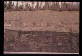
Image depicts a wall of rock with visible sediment layers at an uncertain location in the Peace River Region, possibly near Hudson's Hope.
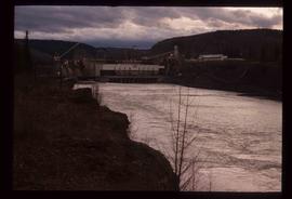
Image depicts a dam, possibly on the Peace River.
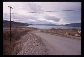
Image depicts a dam and a reservoir of water, possibly on the Peace River.
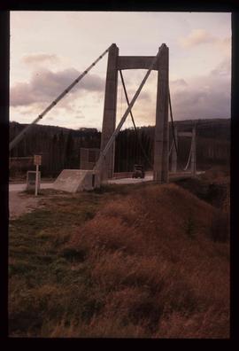
Image depicts a truck on a bridge, possibly crossing over the Peace River.
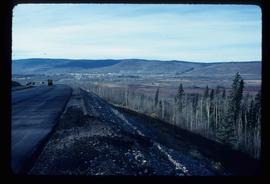
Image depicts a view of Chetwynd, possibly from Highway 97.
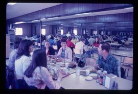
Image depicts a crowded cafeteria, most likely somewhere in Hudson's Hope, B.C. The slide is labelled "Camp at H.H."
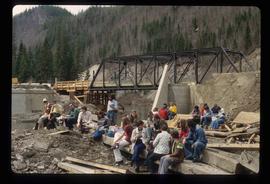
Image depicts a large group of people sitting and eating near a bridge at an uncertain location, though possibly near Hudson's Hope, B.C.
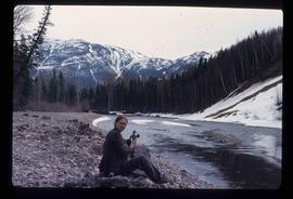
Image depicts an unidentified woman with a camera sitting on the bank of a river.
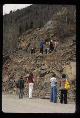
Image depicts numerous individuals who appear to be searching among the rocks on a ledge at an uncertain location in the Peace River Region.
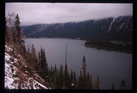
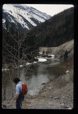
Image depicts a river, possibly the Peace River.
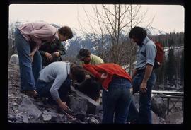
Image depicts a group of individuals who appear to be examining a rock. It is possibly part of an educational trip.
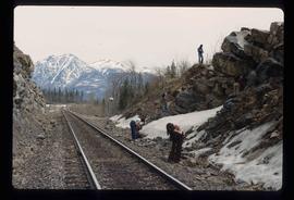
Image depicts a group of individuals who appear to be searching through the rocks near a railway track. It is possibly part of an educational trip.
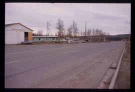
Image depicts several businesses in a small section of Chetwynd, B.C. There is a motor hotel and a half-visible sign for an Esso gas station.
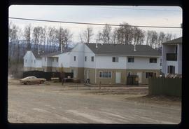
Image depicts a number of townhouses in Chetwynd, B.C.
Image depicts a number of townhouses in Chetwynd, B.C.
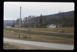
Image depicts several houses in Chetwynd, B.C.
