Item is a hand-drawn map of a plot in the Aleza Lake Research Forest. Individual trees are marked and numbered.
Mylar map is a plot map of a research plot at the Aleza Lake Research Forest. Provides date the plot was established, the harvest history, the silviculture history, remeasurement history, and information about individual trees.
Item is a hand-drawn map of a plot in the Aleza Lake Research Forest. Individual trees are marked and numbered.
Item is a forest cover map for Aleza Lake Research Forest (Special Use Permit 19070). Shows experimental plots and timber sale areas.
Reproduced map on mylar depicts the Aleza Lake timber reserve near Aleza Lake, BC.
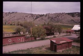
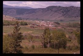
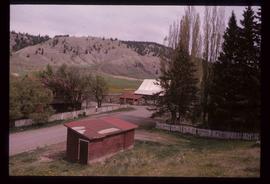
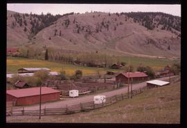
Image depicts the Alkali Lake Ranch in Alkali Lake, B.C.
Image depicts the Alkali Lake Ranch in Alkali Lake, B.C.
Image depicts the Alkali Lake Ranch in Alkali Lake, B.C.
Image depicts the Alkali Lake Ranch in Alkali Lake, B.C.
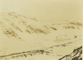
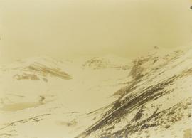
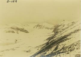
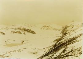
Photograph depicts an alpine lake amongst snow-covered mountain peaks.
Photograph depicts an alpine lake amongst snow-covered mountain peaks.
Photograph depicts an alpine lake at the top of a snow-covered mountain.
Photograph depicts an alpine lack situated at the top of snow-covered mountain peaks.
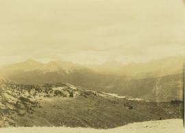
Photograph depicts an alpine lake visible in a distant mountain valley with snow-capped mountains visible in the background.
File consists of:
- David Mills, "Aleza Lake Research Forest Historical Internship Summary" (2 Jan. 2007), 26 p. - In print and original digital .doc file
- David Mills, "Aleza Lake Forest Experiment Station Socio-Economic Time Line 1905-1937" (2007), 68 p. - In print and original digital .doc file
- ALRFS employment paperwork for David Mills, the ALRFS Natural Resource History Intern
- Research notes, including a copy of a map of the town of Aleza Lake in the 1920s
Image depicts the Anderson Lake.
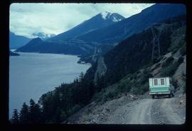
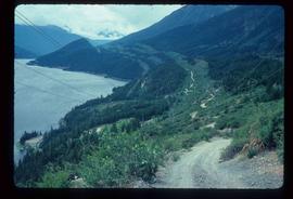
Image depicts a view of Anderson Lake near Seton Portage, B.C. A vehicle on a mountain road is also visible.
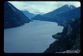
Image depicts a view of Anderson Lake near Seton Portage, B.C.
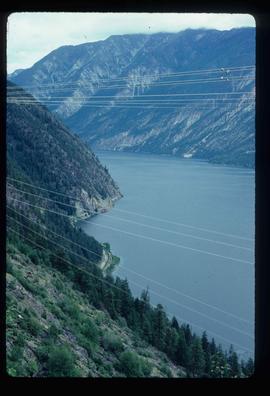
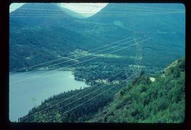
Image depicts power lines running alongside Anderson Lake near Seton Portage, B.C.
Image depicts a view of D'Arcy, located on the southern end of Anderson Lake.
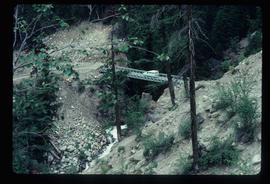
Image depicts a vehicle on a bridge somewhere near Anderson Lake in the Seton Portage area.
Image depicts what appears to be an animal pen in Island Cache. There is a goat and numerous chickens in the image, as well as a pile of miscellaneous material.
File consists of photocopies of various report front covers and references to Knox McCusker from 1926-1931.
Image depicts another train on the White Pass railway along a forested mountain side.
Image depicts what appears to be an apartment building among several others in an uncertain location.
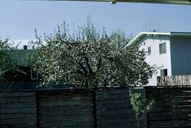
Slide depicts a tree with apple blossoms in a backyard of a brown house. The yard is surrounded by a wooden fence. The neighbor's white house can be seen next door. Photographed in Kelowna, BC. Original slide description: "Apple Blossom bkyd. Kel."
Image depicts numerous buildings on the shore of Haida Gwaii as the ferry approaches.
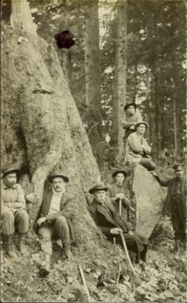
Photograph of Archdeacon WH Collison reclining against a large tree with a group of friends and family. Handwritten annotation on verso reads: "Arch. Collison with sons Max & Arthur & friends in mountains above Portland [?] Canal Me."
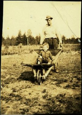
Photograph depicts Violet Baxter's younger brother Art pushing his son Ian in wheelbarrow. Art is wearing a hat and smoking a pipe. A forest stands in background behind the field and fence that cross midground.
File consists of the following items:
- "Mac" by D.L. Surveyor
- "Knox (Mac) McCusker: Dominion Land Surveyor" by E.L. Rutherford, V.C. Brink, R.S. Silver and M.Z. (Smokey) Neighbour
- Excerpts from Men and Meridians by Don W. Thomson
- Article re: Knox McCusker written on the occasion of his death (April 14, 1955)
- "McKusker (sic) to open up Blueberry Mountain Area" (Alaska Highway News, June 8, 1950)
- "McCusker was surveyor, big game guide….also rancher and trail blazer"
- "Knox Freeman McCusker" written on the occasion of his death (The Canadian Surveyor, July 1955)
- "Veteran Surveyor - Alaska Highway Stories"
- Memories of Knox McCusker by his oldest niece Betty (McCusker) Rutherford
- "Veteran Surveyor prefers horses for long bush treks" by Eric Young (Edmonton Journal)
- Eulogy for Knox McCusker read by Stanley D. Seif at Burch Presbyterian Church in Fort St. John, B.C.
- Eulogy for Gwendolyn Dorothy McCusker (July 1997)
- "Tropical Valley No Myth: amazing story of woman who lived there" by Thomas A. Wayling (Vancouver Sun)
- Photocopy of section of map: "Topographical sketch map showing route traversed by the Bedaux Sub-Arctic Expedition 1934 through the Rocky Mountains" (by Frank Swannell, March 27, 1935)
- Memories of Knox McCusker by Bill McCusker, his oldest nephew
- "There is always a reason; destiny made it a date. The corridor of the Alcan didn’t just happen" (Fort St. John publication)
- Article on Knox McCusker (ALS News, Winter 1983)
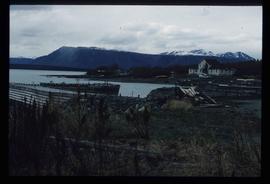
Image depicts a dock on the shore of Atlin Lake, as well as a building that may have once been a hospital. The slide is simply labelled "hospital."
Image depicts an old building undergoing a restoration process, possibly in Atlin, B.C.
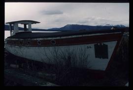
Image depicts an old boat on the shore of Atlin Lake.
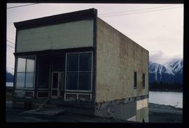
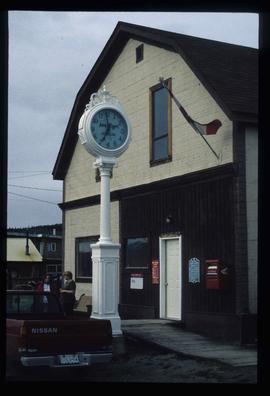
Image depicts the post office in Atlin, B.C.
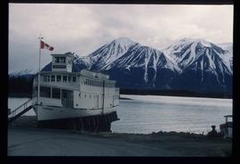
Image depicts a boat named "the Tarahne," which is located in Atlin, B.C. Atlin Lake and Mountain are visible in the background.
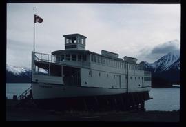
Image depicts a boat named "the Tarahne," which is located in Atlin, B.C. Atlin Lake and Mountain are visible in the background.


