Showing 284 results
Archival description
Remove filter:
Dr. Paul Sanborn fonds
Remove filter:
Yukon Territory
Remove filter:
Image
Remove filter:
With digital objects
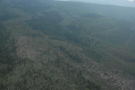
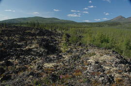
Holocene basalt flows near Camp 3

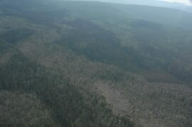
Holocene basalt flows near Camp 3
Holocene basalt flows near Camp 3
Holocene basalt flows near Camp 3
Holocene basalt flows near Camp 3
Holocene basalt flows near Camp 3
Holocene basalt flows near Camp 3
Holocene basalt flows near Camp 3
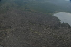
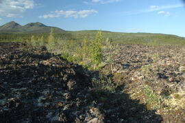
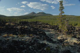
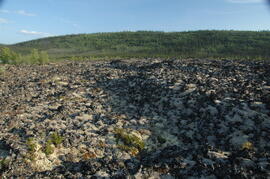
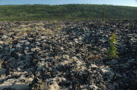
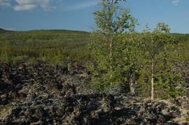
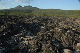
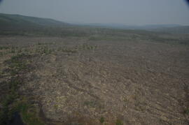
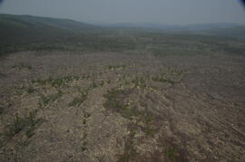
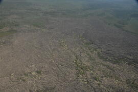
Holocene basalt flows south of Volcano Mountain
Holocene basalt flows south of Volcano Mountain
Holocene basalt flows south of Volcano Mountain
Holocene basalt flows south of Volcano Mountain
Holocene basalt flows south of Volcano Mountain
Holocene basalt flows south of Volcano Mountain
Holocene basalt flows south of Volcano Mountain
Holocene basalt flows south of Volcano Mountain
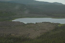
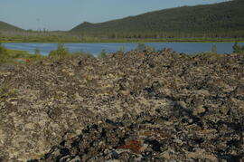
Leech Lake, south of Volcano Mountain

Lower Sheep Creek canyon

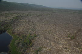
Lower Slims heavy sheep use area

Lower Slims heavy sheep use area (detail)
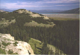
Lower Slims panorama
Lower Slims panorama

Lower Slims unburned grassland
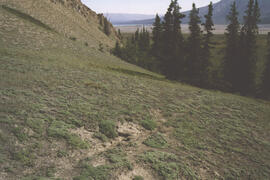
Lower Slims unburned grassland

Lower Slims unburned grassland (detail)

Middle Pleistocene basalt cliffs west of Camp 2

Middle Pleistocene basalt cliffs west of Camp 2

Middle Pleistocene basalt cliffs, facing downstream between Camp 1 and Camp 2

Middle Pleistocene basalt cliffs, facing downstream between Camp 1 and Camp 2

Mouth of Black Creek

Near Camp 1, facing west down the Yukon River

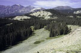
Near Camp 3

Near Camp 3

Near Camp 3

Near Camp 3
Near Camp 3

North side of the Yukon River, mid-Pleistocene basalts west of gully

North side of Volcano Mountain

North side of Volcano Mountain

North side of Volcano Mountain

North side of Volcano Mountain

North side of Volcano Mountain

North side of Volcano Mountain

Nostoc Crust (Kluane NP, Lower Slims)

Pelly River and Yukon River confluence

Pelly River and Yukon River confluence
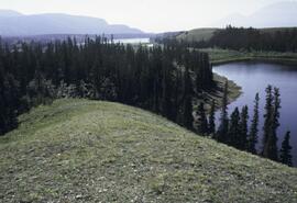
Rat Lake
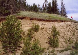
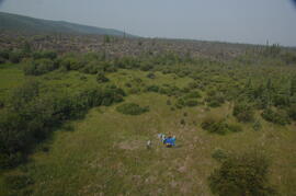
Silver City section (Y03-11) - overview
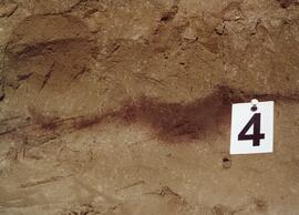
Silver City section (Y03-11) - soil 4
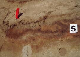
Silver City section (Y03-11) - soil 5