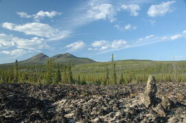
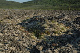
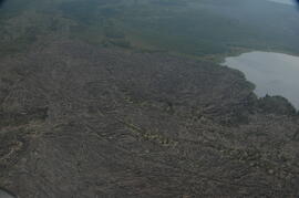
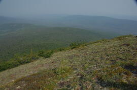
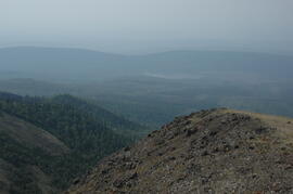
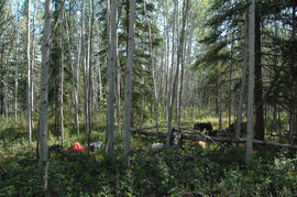
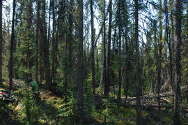
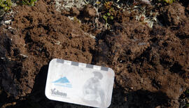
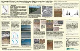
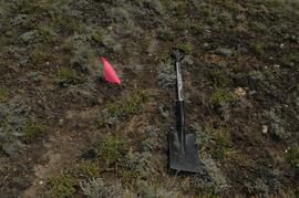
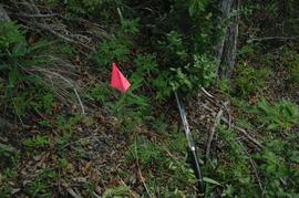
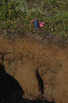
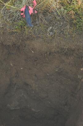
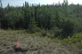
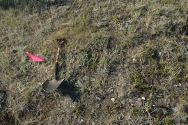
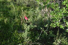
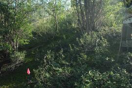
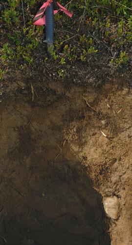
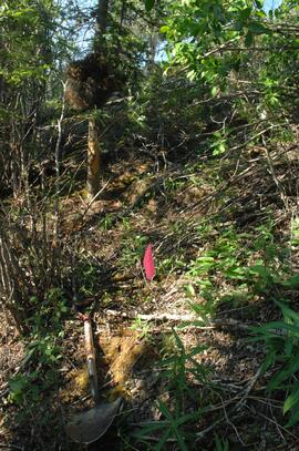
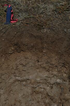
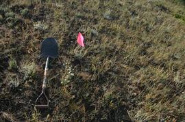
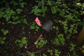
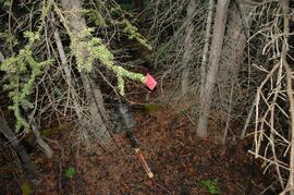
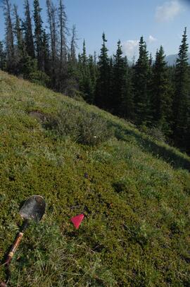
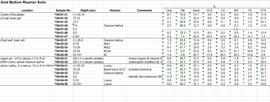
Data set consists of lab data for sites Y04-01 to Y04-04. Original data set created in 2004; an update was provided in March 2023 but horizon designations were not updated to be consistent with the paper.
Document is a research installation layout map for the Kenneth Creek site of the Sulphur stable isotope tracer study (E.P. 886.15).
Document is a research installation layout map for the Holy Cross Creek site of the Sulphur stable isotope tracer study (E.P. 886.15).
This image appears as Figure 8 in the publication:
Sanborn, P., 2010. Soil reconnaissance of the Fort Selkirk volcanic field, Yukon (115I/13 and 14).
In: Yukon Exploration and Geology 2009, K.E. MacFarlane, L.H. Weston and L.R. Blackburn
(eds.), Yukon Geological Survey, Whitehorse, Yukon. pp. 293-304. https://emrlibrary.gov.yk.ca/ygs/yeg/2009/2009_p293-304.pdf
This PDF is a digital version of a poster presented by Sanborn and Jull at the 2009 Canadian Quaternary Association conference, Simon Fraser University.
Photograph depicts a Kluane Lake transect 1 location.
Photograph depicts a Kluane Lake transect 2 location.
Photograph depicts a Kluane Lake transect 3 location.