2006.18.5.03
·
Item
·
[192-?]
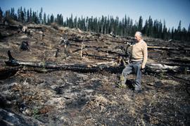
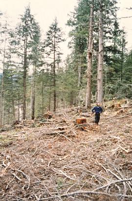
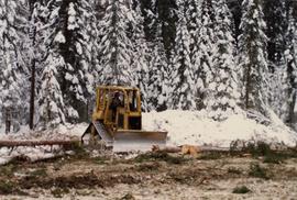
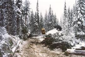
Parte de Aleza Lake Research Forest Society fonds
Reproduced map on mylar depicts the Aleza Lake timber reserve near Aleza Lake, BC.