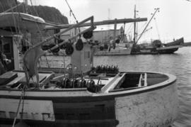
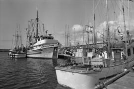
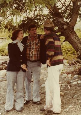
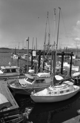
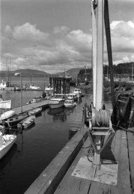
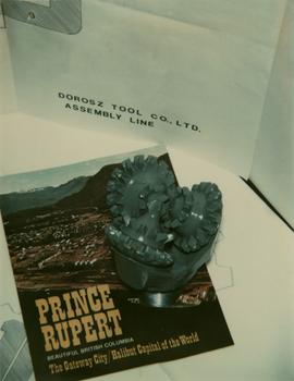
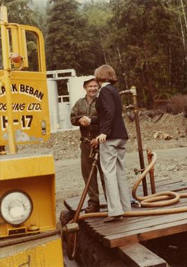
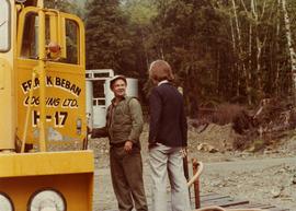
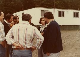
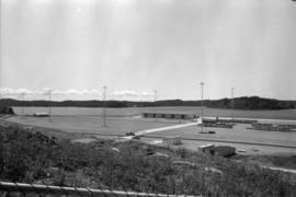
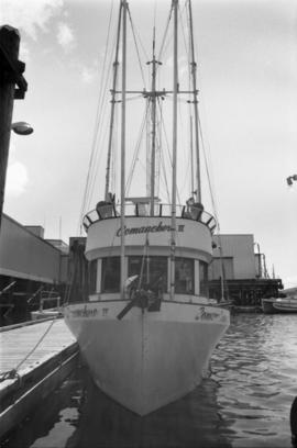
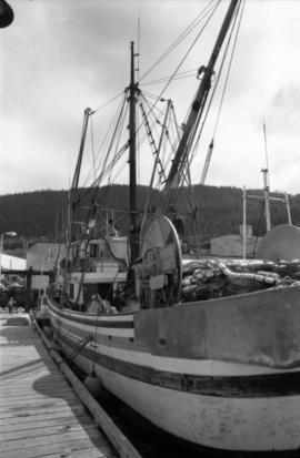
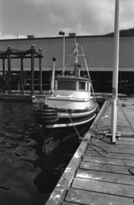
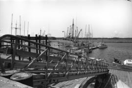
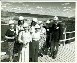
Showing 67 results

Archival description
40 results with digital objects Show results with digital objects
2009.6.13.45.20 · Stuk · [between 1974 - 1979]
Part of The Honourable Iona Campagnolo fonds

Map depicts annotations of the freight-way routes throughout British Columbia. These routes include: the Garnet Enterprise Truck Haul from Vancouver to Terrace, the Canadian Freightways from Vancouver to Edmonton to Alaska; the Lindsay Transfer from Terrace to Dease Lake and Telegraph Creek; and the Northland Navigation roll-on and roll-off service.

2009.6.13.45.10 · Stuk · [between 1974 and 1979]
Part of The Honourable Iona Campagnolo fonds

Map depicts proven on & offshore oil & gas areas, and probable oil & gas areas in less then 1000' water. The map conveys the North Pole in the centre and spans out to include Canada, Europe and the "Union of Soviet Socialist Republics."

2009.6.13.43.11 · Stuk · 4 May 1977
Part of The Honourable Iona Campagnolo fonds

Publication contains an abridged version of the publication entitled "Termpol Assessment of the Navigational and Environmental Risks Associated with the Proposal of Kitimat Pipe Line Ltd. to Construct a Marine Oil Terminal at Kitimat, B.C." published by Transport Canada Coast Guard.

Oilweek: Pipeline Wall Map
2009.6.13.45.14 · Stuk · Nov. 1976
Part of The Honourable Iona Campagnolo fonds

Map depicts existing oil lines, oil lines proposed or under construction, product lines, existing gas lines, gas lines proposed or under construction, LPG lines, and LPG lines proposed in Canada and Northern USA.

2009.6.13.45.09 · Stuk · 1976
Part of The Honourable Iona Campagnolo fonds

Map depicts the whole of Canada and notes: gas pipelines, gas gathering lines, proposed gas pipelines, oil pipelines, oil gathering lines, proposed oil pipelines, gas fields, oil fields, refining centres, extraction plants, and oil sands. There is a smaller subsequent map of Alberta highlighting these features in greater detail.