2007.1.25.3.19
·
Item
·
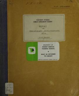
1924
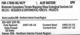
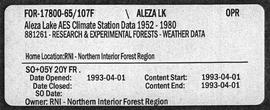
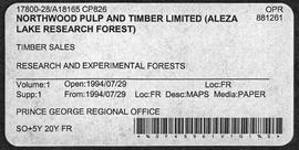
Parte de Aleza Lake Research Forest fonds
Item is an original "Northern Interior Forest Experiment Station: Report of Preliminary Investigations" by Percy Barr. Includes original photographic prints.