2012.13.1.5.32
·
Pièce
·
Mar. 2003
Fait partie de J. Kent Sedgwick fonds
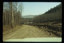
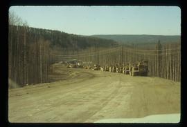
Image depicts the intersection of 15th Ave and Highway 97 in Prince George, B.C.