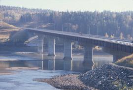
Image depicts the Yellowhead Bridge across the Fraser River. Map coordinates 53°54'45.2"N 122°43'27.9"W
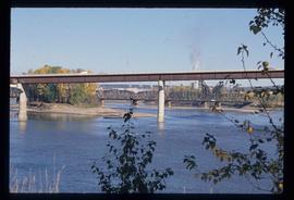
Image depicts the Fraser River and the Yellowhead and Grand Trunk Railway Bridges from LC Gunn Park. Map coordinates 53°54'30.7"N 122°43'27.0"W
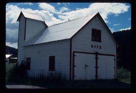
Image depicts a building in Wells, B.C. It possesses the letters "W.V.F.B." on it.
File consists of clippings, notes, and reproductions relating to World War 2 in Prince George. Includes various clipped articles from the Prince George Citizen newspaper; "Wartime bldgs" handwritten notes by Kent Sedgwick (2005); and a John Bogle UNBC history course paper (1999). Also includes photographs taken in 2005 of various buildings and houses in Prince George.
The item is a black and white photograph depicting a boarded up workshop, garage and covered farm building. Picture is taken from the road.
The item is a black and white photograph depicting a boarded up workshop on a farm.
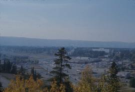
Image depicts Parkwood Place taken from Connaught Hill looking west with the hospital in the background. Map coordinates 53°54'39.9"N 122°45'02.5"W
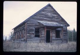
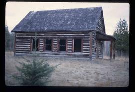
Image depicts the old Woodpecker School.
Image depicts the old Woodpecker School.
File consists of notes and reproductions relating to the Woodpecker Elementary School. Also includes photographs depicting the Woodpecker School, weathered with the roof beginning to cave in (2001).
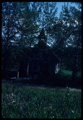
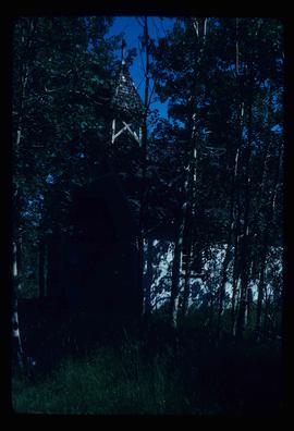
Image depicts a church in Woodpecker, B.C.
The item is a photograph depicting a painting of Woodpecker Church by Vivian Antoniw. The plaque in the picture states, "'Woodpecker Church' Handcoloured Dry Point Etching by Vivian Antoniw."
Image depicts a church in Woodpecker, B.C.
Image depicts a church in Woodpecker, B.C.
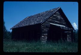
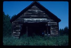
Image depicts the old school in Woodpecker, B.C.
Image depicts the old school in Woodpecker, B.C.
Image depicts the old school in Woodpecker, B.C.
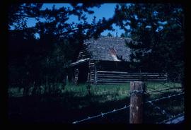
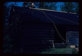
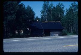
Image depicts a log cabin, with a few unknown individuals working on the roof, in Woodpecker, B.C.
Image depicts a log cabin, with a few unknown individuals working on the roof, in Woodpecker, B.C.
Image depicts the Bachelor's Hall in Woodpecker, B.C.
Image depicts the Bachelor's Hall in Woodpecker, B.C.
Photograph depicts the base of a wooden canoe on a wheeled cart, presumably at the Fort St. James historic site.
The item is a photograph of an old wooden garage behind Prince George's first hospital at 1584 8th Avenue, Prince George.
The item is a photograph of an old wooden garage behind Prince George's first hospital at 1584 8th Avenue, Prince George.
Photograph depicts a wooden building presumably at the Fort St. James historic site.
Photograph depicts a wooden building presumably at the Fort St. James historic site.
Photograph depicts a wooden building presumably at the Fort St. James historic site. The photograph is close up to the building, depicting an open door and the wooden panels along the building.
Photograph depicts a wooden building presumably at the Fort St. James historic site. The photograph is close up to the building, depicting an open door and the wooden panels along the building.
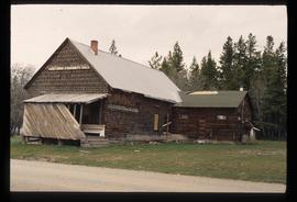
Photograph depicts a wooden building presumably at the Fort St. James historic site.
Photograph depicts a wooden building, presumably at the Fort St. James historic site.
Photograph depicts a wooden building, presumably at the Fort St. James historic site.
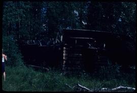
Photograph depicts a wooden and abandoned building, the roof caving in and the sides tarnishing. Photograph taken in an unknown location.
Photograph depicts a wooden and abandoned building, the roof caving in and the sides tarnishing. Photograph taken in an unknown location.
Photograph depicts a wooden and abandoned building, the roof caving in and the sides tarnishing. Photograph taken in an unknown location.
Photograph depicts a wooden and abandoned building, the roof caving in and the sides tarnishing. Photograph taken in an unknown location.
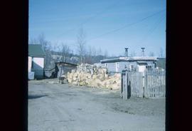
Image depicts a wood pile in Island Cache.
The item is a photograph of a wood and white brick house in Prince George. The address is 2755 on an unknown street.
The item is a photograph of a wood and white brick house in Prince George. The address is 2755 on an unknown street.
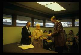
Image depicts a woman holding a sheet of paper in a room with numerous other unidentified individuals. The man standing behind her is possibly Elmer Mercier, a former Mayor of Prince George, B.C.
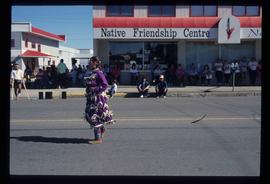
Image depicts a woman, wearing clothes reminiscent of traditional First Nations, who appears to be dancing in the street outside of a Native Friendship Centre in Prince George, B.C. A large crowd is looking on.
Image depicts the old community hall located somewhere in the Wistaria Provincial Park.
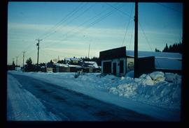
Image depicts a snowy street in Willow River, B.C. There are several buildings, one is an Esso station and another is labelled as "Red & White Food Store."
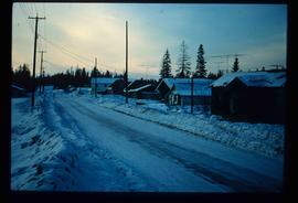
Image depicts a snowy street in Willow River, B.C. with a row of houses. The white building on the end with the Pepsi sign is the Willow River General Store. Map coordinates 54°04'18.3"N 122°28'14.7"W
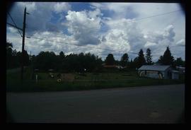
Image depicts a playground in Willow River, B.C. The slide labels it as being a "former hotel site." Map coordinates 54°04'23.7"N 122°28'26.9"W
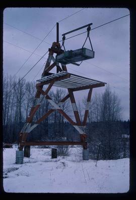
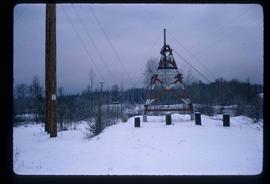
Image depicts the cableway in Willow River, B.C.
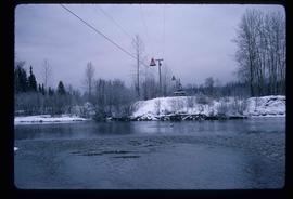
Image depicts the cableway, stretching over a river, in Willow River, B.C.
Image depicts the cableway in Willow River, B.C.
Image depicts the St. Joseph's Mission in Williams Lake, B.C.
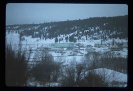
File contains slides depicting places in the area around Williams Lake, Clinton, and the Fraser Canyon.
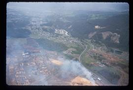
Image depicts an aerial view of Williams Lake, B.C.
