2012.13.1.85.29
·
Item
·
1976
Part of J. Kent Sedgwick fonds
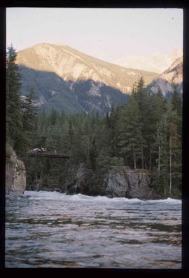
Image depicts a river somewhere in Mt. Robson Provincial Park, with a bridge running over it. The slide itself is labelled "Robson station."