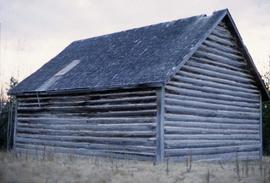
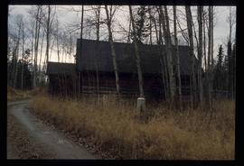
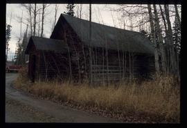
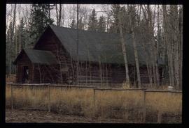
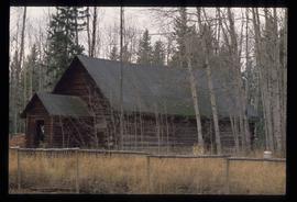
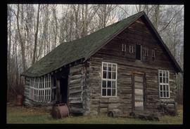
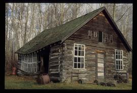
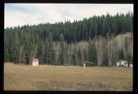
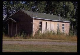
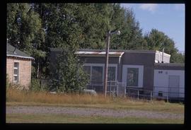
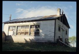
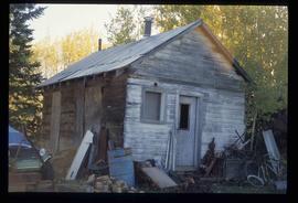
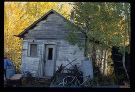
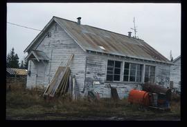
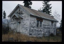
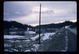
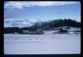
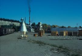
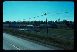
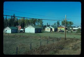
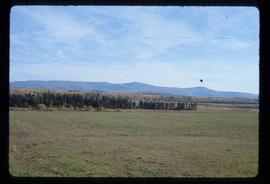
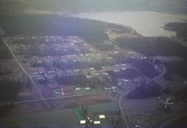
Image depicts the Woodpecker School building.
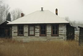
Image depicts the Hixon School building in Hixon, B.C.
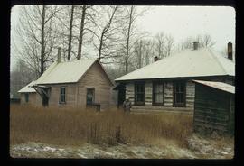
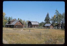
Image depicts the Hixon School and teacherage buildings in Hixon, B.C.
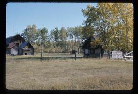
Image depicts a log cabin in Beaverly.
Image depicts a log cabin in Beaverly.
Image depicts a log cabin in Beaverly.
Image depicts a log cabin in Beaverly.
Image depicts a log cabin, possibly in Beaverly.
Image depicts a log cabin, possibly in Beaverly.
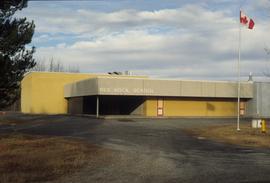
Image depicts the Red Rock School.
Image depicts the school site in Stoney Creek.
Image depicts a building in Reid Lake
Image depicts a building in Reid Lake
Image depicts the Salmon School in the Prince George vicinity.
Image depicts the teacherage for the Salmon School, located in the Prince George vicinity.
Image depicts the teacherage for the Salmon School, located in the Prince George vicinity.
Image depicts a building in Red Rock.
Image depicts a building in Red Rock.
Image depicts a the teacherage building in Red Rock.
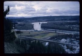
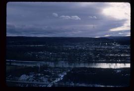
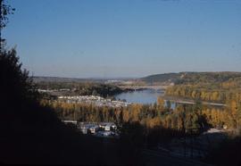
Image depicts a view of the Fraser-Nechako confluence from the Prince George cutbanks.
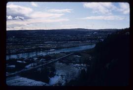
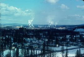
Image depicts a view of Prince George from the cutbanks.
Image depicts a view of Prince George from the cutbanks on the Nechako river.
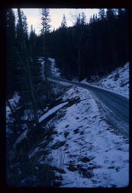
Image depicts part of the McMillan Creek Trail in the McMillan Regional Park in Prince George, B.C.
Image depicts part of the McMillan Regional Park in Prince George, B.C.
Image depicts the McMillan Creek from Northwood Pulpmill Road, in Prince George, B.C.
Image depicts a farmhouse on Old Summit Road in Prince George, B.C.
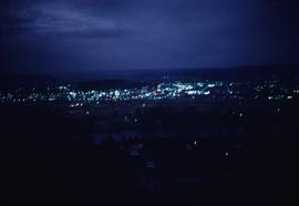
Image depicts Prince George at night from the cutbanks.
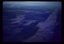
Image depicts Prince George near the Airport Road.
Image depicts a clearing in Prince George, B.C.
Image depicts the Pearson Homestead.
Image depicts the Pearson Homestead.
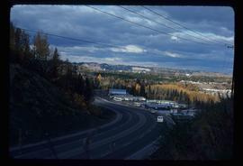
Image depicts a view of Peden Hill in Prince George, B.C.
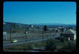
Image depicts the Canadian National Railway Yards in Prince George, B.C.
Image depicts the Canadian National Railway Yards in Prince George, B.C.
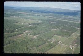
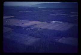
Image depicts a rural setting, most likely near the airport in Prince George, B.C.
Image depicts a few houses, most likely near the airport in Prince George, B.C.
Image depicts Tabor Mountain from the airport in Prince George, B.C.
Image depicts Prince George from the view of Peden Hill.
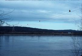
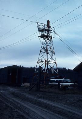
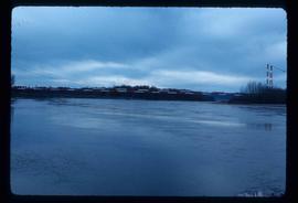
Image depicts a gauging station at Shelley, B.C.
Image depicts a gauging tower at Shelley, B.C.
Image depicts a pipeline at Shelley, B.C.
Image depicts a view of Prince George from Carney Hill.
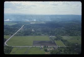
Image depicts an agricultural field, most likely near Prince George, B.C.
Image depicts power lines east of the pulp mills in Prince George, B.C.
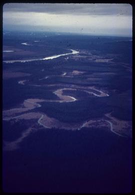
Image depicts natural meadows, possibly east of Prince Georg, B.C.
Image depicts Fort George Canyon.
Image depicts the flows from a pulp mill in Prince George, B.C.
Image depicts an esker at the Foothills Boulevard in Prince George, B.C.
Image depicts an area undergoing logging somewhere in Prince George, B.C.
Image depicts the Tabor Lake Subdivision in Prince George, B.C.
