The item is a close-up copy print photograph of Henry Wilson.
File consists of notes, clippings and reproductions relating to Henry Wilson, architect and former mayor of Prince George. Also includes a close-up photograph of Henry Wilson (1985) and photographs of the exterior of a house in Prince George.
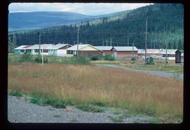
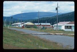
Image depicts numerous buildings in Hendrix Lake, B.C.
Image depicts numerous buildings in Hendrix Lake, B.C.
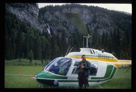
Image depicts a man standing in front of a helicopter; a waterfall is visible on the cliffs in the background. The slide itself is labelled "BC Parks Tour."
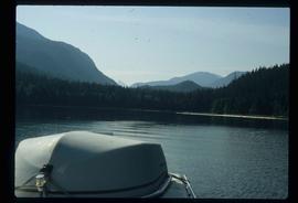
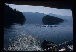
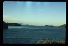
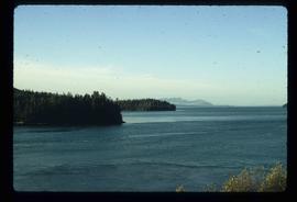
Image depicts what is possibly either the Hecate Strait or the Minette Bay from somewhere near Kitimat, B.C.
Image depicts what is possibly either the Hecate Strait or Minette Bay from somewhere near Kitimat, B.C.
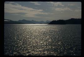
Image depicts the Hecate Strait near Prince Rupert, B.C.
Image depicts the waters of the Hecate Strait.
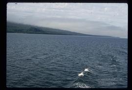
Image depicts the waters of the Hecate Strait, possibly on approach to Haida Gwaii, B.C.
Image depicts the Hecate Strait near Prince Rupert, B.C.
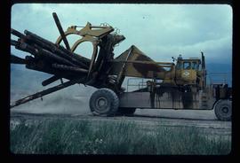
Image depicts a piece of heavy machinery lifting numerous logs. It is likely located in Prince George, B.C.
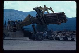
Image depicts a piece of heavy machinery lifting numerous logs off the back of a logging truck. It is likely located in Prince George, B.C.
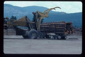
Image depicts a piece of heavy machinery lifting numerous logs off the back of a logging truck. It is likely located in Prince George, B.C.
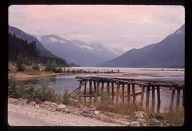
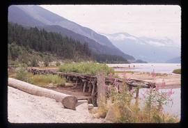
Image depicts the head of Lillooet Lake.
Image depicts the head of Lillooet Lake.
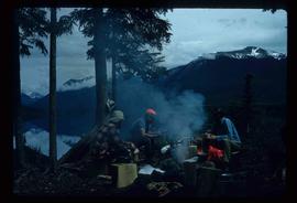
Image depicts the canoe group around a campfire at the head of Indianpoint Lake.
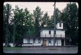
Image depicts the public library in Hazelton, B.C.
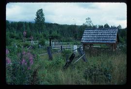
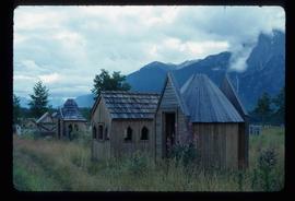
Image depicts the cemetery in Hazelton, B.C.
Image depicts the cemetery in Hazelton, B.C.
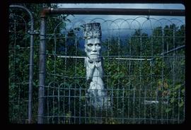
Image depicts a tombstone in the cemetery in Hazelton, B.C.
Image depicts the cemetery in Hazelton, B.C.
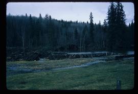
Image depicts a beaver dam somewhere in Hazleton, B.C.
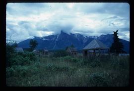
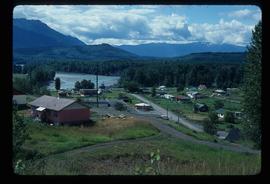
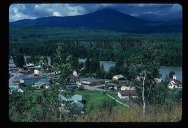
Image depicts Hazelton, B.C.
Image depicts Hazelton, B.C.
File consists of notes and reproductions relating to Hatley Park, Victoria, which was designed by landscape architects Brett and Hall. Brett and Hall had also assisted in city planning in Prince George. File also contains a CD titled "RRU Archives Brett and Hall Hatley Plans" containing material about the Brett and Hall Hatley plans from the Royal Roads University Archives.
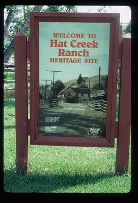
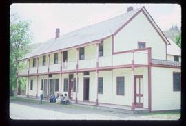
Image depicts the welcome sign of the historic Hat Creek Ranch site north of Ashcroft, B.C.
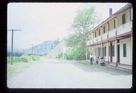
Image depicts the road leading to the historic Hat Creek Ranch site north of Ashcroft, B.C. Several individuals are sitting on the front porch of the Ranch house.
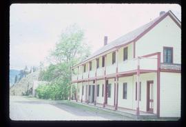
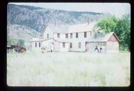
Image depicts the front of the ranch house on the historic Hat Creek Ranch site north of Ashcroft, B.C.
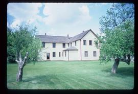
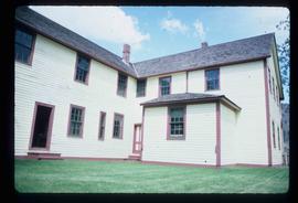
Image depicts the Ranch house on the historic Hat Creek Ranch site north of Ashcroft, B.C.
Image depicts the Ranch house on the historic Hat Creek Ranch site north of Ashcroft, B.C.
Image depicts several individuals sitting on the front porch of the Ranch house on the historic Hat Creek Ranch site north of Ashcroft, B.C.
Image depicts numerous individuals standing near the Ranch house and McLean Cabin on the historic Hat Creek Ranch site north of Ashcroft, B.C.
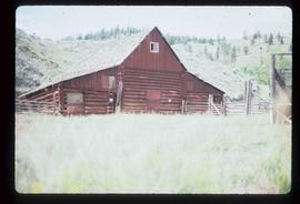
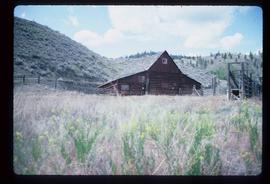
Image depicts an old barn on the historic Hat Creek Ranch site north of Ashcroft, B.C.
Image depicts an old barn on the historic Hat Creek Ranch site north of Ashcroft, B.C.
Image depicts the McLean Cabin, built in 1861, which belonged to a retired Hudson's Bay Chief trader named Donald McLean, who was shot and killed while part of a posse that was searching for the murderers of a survey party. It is located at the historic Hat Creek Ranch site north of Ashcroft, B.C.
Image depicts a "box barn" on the historic Hat Creek Ranch site north of Ashcroft, B.C.
The item is a photograph depicting three weathered schoolhouses lined next to each other. The schools are from Hart Highway, Shady Valley, and Westlake. They are shown at their relocation to the Myatovic farmland. Annotation on reverse side of photograph states, "Myatovic property, N side looking west - left - Hart Hwy, Mid - Shady V, right - West L."
The item is a photograph depicting three weathered schoolhouses lined next to each other. The schools are from Hart Highway, Shady Valley, and Westlake. They are shown at their relocation to the Myatovic farmland. Annotation on reverse side of photograph states, "Myatovic prop. s. side, looking north west - ends where mud room joined them - left - West L, mid sc is original Shady V, right - Hart Hwy."
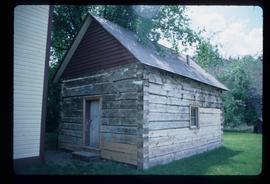
The item is a photograph depicting the weathered Hart Highway schoolhouse. The school is shown at its relocation to the Myatovic farmland. Annotation on reverse side of photograph states, "east building, n. end, view se." Accompanying note with photograph states, "Shady Valley relocation to Myatovic farm property."
The item is a photograph depicting the weathered Hart Highway schoolhouse. The school is shown at its relocation to the Myatovic farmland. Annotation on reverse side of photograph states, "east building s. end looking NE - from Hart Hwy."
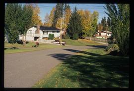
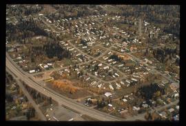
Image depicts a neighbourhood on the Hart Highway in Prince George, B.C.
File consists of clippings, notes, and reproductions relating to the Hart Highway in Prince George. Also includes "Fraser flats" typescript document by Caroline Buchi.
File contains slides depicting places along the Hart Highway.
Image depicts Glenview Drive near the Hart Highway in Prince George, B.C.
File consists of clippings, notes, and reproductions relating to the house of Harry G. Perry, a politician and founding community member of Prince George. Includes: "Heritage site inventory" typescript document (1988); "Heritage advisory committee minutes" reproduction of a typescript document (13 Nov. 1980); "Application to rezone lots" typescript document from the City of Prince George (3 Mar. 1982); "By-law No. 3631" typescript document from the City of Prince George (24 Nov. 1980); "Minutes" typescript document from the Prince George and Fraser-Fort George Regional District Heritage Advisory Committee (13 Nov. 1980); "The Carter House" typescript letter from the Heritage Advisory Committee to the City of Prince George (21 Sept. 1979); and "RE: Status Report" typescript document from the City of Prince George to the Joint Heritage Committee (9 Sept. 1980). Also includes architectural drawings depicting plans for building the Carter house at 1850 Tenth Ave, Prince George (1979).
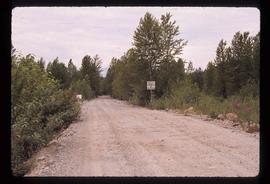
Image depicts a road leading into a First Nations' Reserve at the head of Harrison Lake.
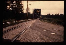
Image depicts the Hansard railroad bridge looking west. Map coordinates 54°04'37.9"N 121°50'46.3"W
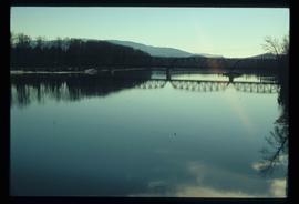
Image depicts the Hansard railroad bridge taken from the new Hansard vehicle bridge. Map coordinates 54°04'58.1"N 121°50'58.0"W
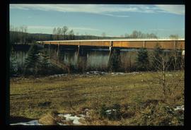
Image depicts the new Hansard Bridge. Map coordinates 54°04'57.9"N 121°51'10.1"W
