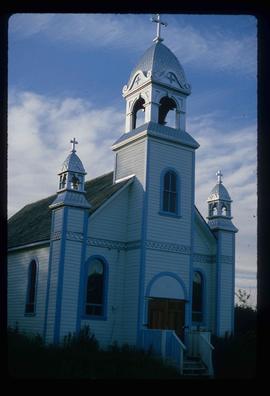
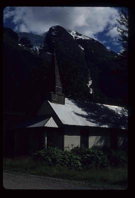
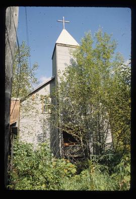
Image depicts a Catholic church at an unknown location.
Image depicts a Catholic Church in Stewart, B.C.
Image depicts the Catholic Church in Penny, B.C.
File contains slides depicting a caving group in various places in West Virgina, USA.
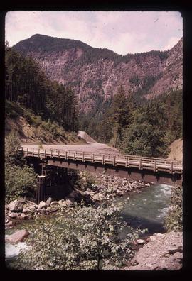
Image depicts a bridge over Cayoosh Creek.
The photograph depicts the ceiling and support beam at the interior of the CN roundhouse in Prince George, BC. Reproduction of photograph from 1984.
Photograph depicts Celia M Dusseau's grave stone in the Soda Creek Cemetery.
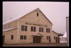
Image depicts the Centennial Hall in Wells, B.C.
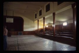
Image depicts the interior of the Centennial Hall in Wells, B.C.
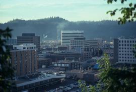
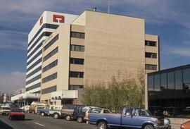
Image depicts the Central Business District of Prince George looking north from Connaught Hill. Map coordinates 53°54'41.4"N 122°44'58.5"W
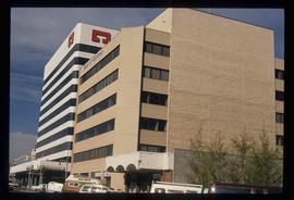
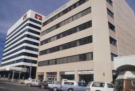
Image depicts 3rd Ave at Victoria St. Map coordinates 53°55'03.9"N 122°44'54.8"W
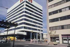
Image depicts 3rd Ave at Victoria St. Map coordinates 53°55'03.9"N 122°44'54.8"W
Image depicts 3rd Ave at Victoria St. Map coordinates 53°55'03.9"N 122°44'54.8"W
Image depicts 3rd Ave at Victoria St. Map coordinates 53°55'03.9"N 122°44'54.8"W
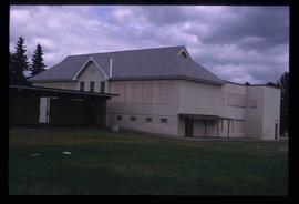
The item is a photograph depicting the front exterior side of Central Fort George School prior to demolition in 2004. The windows are boarded up.
The item is a photograph depicting the front exterior side of Central Fort George School prior to demolition in 2004. The windows are boarded up.
The item is a photograph depicting the front exterior side of Central Fort George School prior to demolition in 2004. The windows are boarded up.
The item is a photograph depicting the front exterior of Central Fort George School and an adjacent house prior to demolition in 2004.
The item is a photograph depicting the front exterior of Central Fort George School prior to demolition in 2004.
The item is a photograph depicting the front exterior of Central Fort George School prior to demolition in 2004.
The item is a photograph depicting the front exterior side of Central Fort George School prior to demolition in 2004. The windows are boarded up. Annotation on reverse side of photograph states, "Central Ft Geo school just before demo summer 2004."
The item is a photograph depicting the front exterior side of Central Fort George School prior to demolition in 2004. The windows are boarded up.
The item is a photograph depicting the front exterior of Central Fort George School and an adjacent house prior to demolition in 2004.
The item is a photograph depicting the front exterior of Central Fort George School and an adjacent house prior to demolition in 2004.
The item is a photograph depicting the front exterior of Central Fort George School and an adjacent house prior to demolition in 2004.
The item is a photograph depicting the front exterior of Central Fort George School and an adjacent house prior to demolition in 2004.
The item is a photograph depicting the exterior of Central Fort George School from the court prior to demolition in 2004. The windows are boarded up.
The item is a photograph depicting the exterior of Central Fort George School from the court prior to demolition in 2004. The windows are boarded up.
Image depicts an old, boarded up school, possibly the Central Fort George Traditional School in Prince George, B.C.
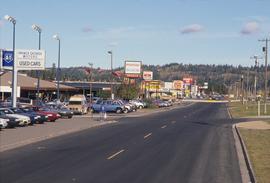
Image depicts Central Street West, parallel to Highway 97 in Prince George, B.C. looking north. Shown: Prince George Motors and other car dealerships, Burger King, Grama's Inn, and the Spruceland Shopping Mall sign. Map coordinates 53°54'42.1"N 122°46'53.1"W
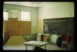
Image depicts a snowman drawn on the chalkboard of what appears to be an unused school, possibly in Lamming Mills, B.C. The slide is labelled "note board school."
File contains slides depicting Chemanus, B.C.
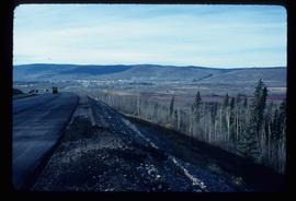
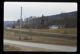
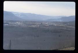
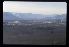
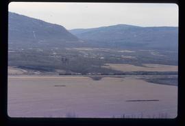
Image depicts a view of Chetwynd, possibly from Highway 97.
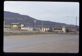
Image depicts a Chevron station as well as two motels in Chetwynd, B.C.
Image depicts several houses in Chetwynd, B.C.
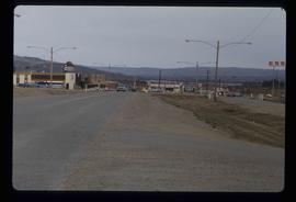
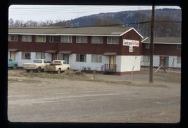
Image depicts several businesses in a small section of Chetwynd, B.C. There is a motor hotel and a half-visible sign for an Esso gas station.
Image depicts a view of a saw mill in Chetwynd, B.C.
Image depicts a view of a saw mill in Chetwynd, B.C.
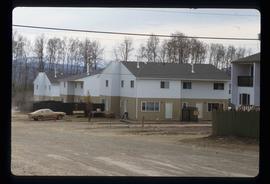
Image depicts a number of townhouses in Chetwynd, B.C.
Image depicts a number of townhouses in Chetwynd, B.C.
Image depicts a view of a train passing through an area of Chetwynd, B.C.
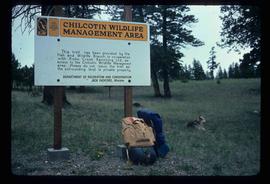
Image depicts a sign titled "Chilcotin Wildlife Management Area" somewhere near Riske Creek, B.C. It reads: "This trail has been provided by the Fish and Wildlife Branch in co-operation with Riske Creek Ranching Ltd., as access to the Chilcotin Wildlife Management Area. Please do not leave the the trail as the surrounding land is private property."
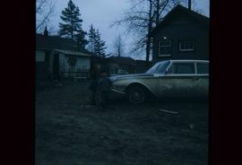
Image depicts two children standing near an old car in Island Cache.
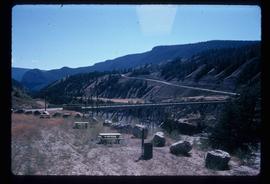
Image depicts a bridge over the Fraser River, located at Chimney Creek, somewhere south-west of Williams Lake, B.C.
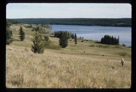
Image depicts Chimney lake with a number of houses near the shore, and a child in the foreground.
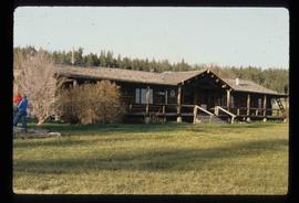
Image depicts the Chimney Lake Lodge.
