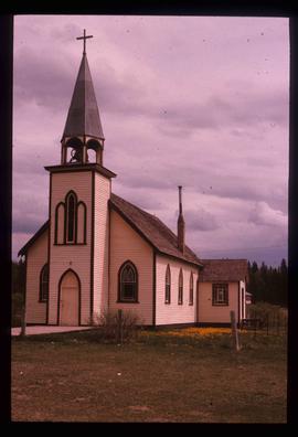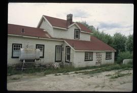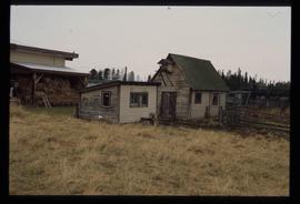
2012.13.1.6.082
·
Item
·
[197-?]
Part of J. Kent Sedgwick fonds
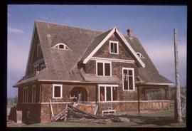
Image depicts the Watson Mansion.