2012.13.1.70.01
·
Item
·
May 1973
Part of J. Kent Sedgwick fonds
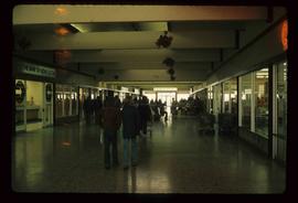
Image depicts numerous individuals inside a mall in Mackenzie, B.C.