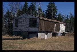
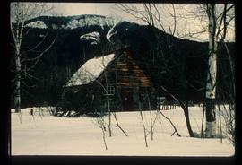
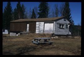
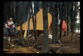
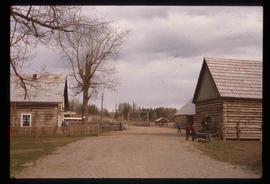
Image depicts a cabin somewhere in Mud River, B.C.
Image depicts a cabin at an uncertain location.
Image depicts a cabin somewhere in Mud River, B.C.
The item is a photograph depicting the Caine building in Prince George.
The item is a photograph depicting the Cameron Street bridge. The photograph is a reproduction of a photograph taken between 1917 and 1932. The picture depicts an ice jam with snow and ice along the Nechako River reaching the height of the base of the bridge. Annotations on the reverse of the photograph state, "Exp. Pl = 1922 p 986.9.9 Exp Pl = 16 Dec 1917 p 982 " 38.3 P 982.30.68 old bridge - can't be 1932."
The item is a photograph depicting the Cameron Street bridge. The photograph is a reproduction of a photograph taken between 1916 to 1931. The picture depicts the completed wooden Cameron Street bridge over the Nechako River. Annotations on the reverse side of the photograph state, "1st bridge between 1916 - 1934 983.7.13." Attached yellow sticky note states, "Note pilings in swing span. Ted Williams says the span was replaced with extension in 1922. So this photo is post - 1922."
The item is a photograph depicting the Cameron Street bridge plaque. The short write up details the construction and significance of the bridge. Annotations on reverse side of the photograph state, "169 words."
The item is a photograph slide reproduction depicting the Cameron Street bridge in Prince George. The river is flooded with and ice jam reaching the height of the bottom of the bridge. Annotation on the slide states, "Cameron bridge 1916-1931."
Image depicts an unknown individual eating in a camp somewhere in South Tweedsmuir Provincial Park.
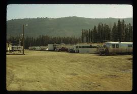
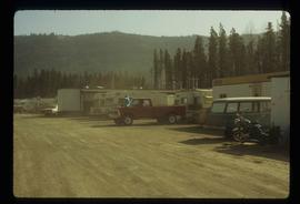
Image depicts numerous campers and other vehicles in Tumbler Ridge, B.C.
Image depicts numerous campers and other vehicles in Tumbler Ridge, B.C.
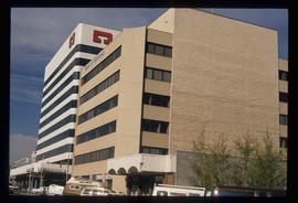
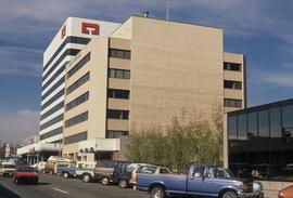
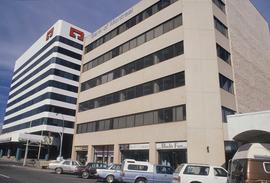
The item is a photograph depicting the exterior view of the front of The Health and Welfare Canada Medical Services building at 1294 3rd Avenue, Prince George. There is a grey and red Ford pickup truck parked in front of the building. Part of Household Finance HFC at 1272 3rd Avenue can be seen. Photograph originally taken between 1978 and 1979.
The item is a photograph depicting the exterior view of the front of The Health and Welfare Canada Medical Services building at 1294 3rd Avenue, Prince George. There is a grey and red Ford pickup truck parked in front of the building. Photograph originally taken between 1978 and 1979.
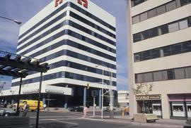
The item is a photograph depicting the exterior view of the front of The Health and Welfare Canada Medical Services building at 1294 3rd Avenue, Prince George. Savers Optical can be seen in the background. Photograph originally taken between 1978 and 1979.
Photograph depicts Canada Trust/ Realtor at 1633 4th Avenue.
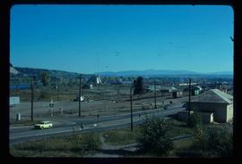
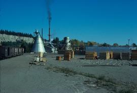
Image depicts the Canadian National Railway Yards in Prince George, B.C.
Image depicts the Canadian National Railway Yards in Prince George, B.C.
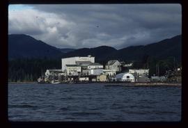
Image depicts the BC Packers Ltd. cannery in Prince Rupert, B.C.
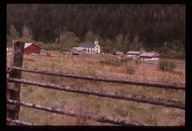
Image depicts a church and several other buildings in Canoe Creek.
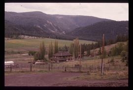
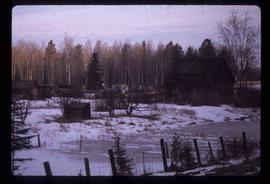
Image depicts a house located somewhere in or near Canoe Creek.
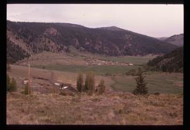
Image depicts a view of Canoe Creek.
Photograph depicts a monument and grave stone for Captain Frank Odin of the Steamboat Charlotte. Annotation on verso: "Capt. Odin Monument, Soda Creek cemetery, 2010".
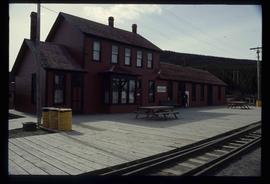
Image depicts the train station in Carcross, Y.T.
Image depicts a log house at an uncertain location; the slide is simply labelled "Cariboo."
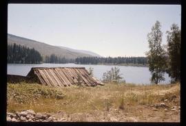
Image depicts the Cariboo Lake, with the roof of an old log cabin visible.
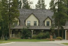
Image depicts a Cariboo Ranch style house at College Heights in Prince George, B.C.
Image depicts the Cariboo Road passing through the Cottonwood House Historic Site.
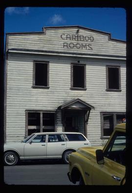
Image depicts an old, boarded up building labelled as "Cariboo Rooms" in Wells, B.C.
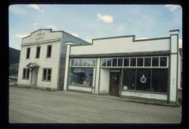
Image depicts the abandoned Cariboo Rooms, and a liquor store in Wells, B.C.
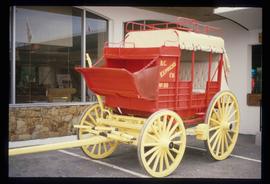
Image depicts a red carriage labelled in yellow "B.C. Express Co. No. 20." It is possibly located in Kamloops, B.C.
The item depicts plans for the interior basement, main floor, second floor and the roof of the Carter House at 1850 10th Avenue, Prince George. Original plans drafted in April 1979 and approved by the city and stamped on 1 June 1979. Annotations include notations regarding scale and other measurements.
The item depicts plans for the exterior, longitudinal and transverse sections of the Carter house at 1850 10th Avenue, Prince George.
Image depicts the Carter Industrial Area in Prince George, B.C.
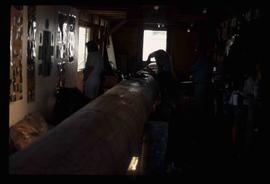
Image depicts several unidentified individuals inside a building, one of which is carving a totem pole. The location is uncertain.
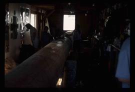
Image depicts several unidentified individuals inside a building, one of which is carving a totem pole. The location is uncertain.
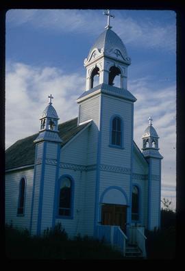
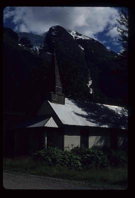
Image depicts a Catholic church at an unknown location.
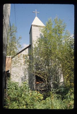
Image depicts a Catholic Church in Stewart, B.C.
Image depicts the Catholic Church in Penny, B.C.
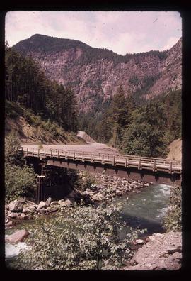
Image depicts a bridge over Cayoosh Creek.
The photograph depicts the ceiling and support beam at the interior of the CN roundhouse in Prince George, BC. Reproduction of photograph from 1984.
Photograph depicts Celia M Dusseau's grave stone in the Soda Creek Cemetery.
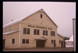
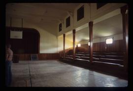
Image depicts the Centennial Hall in Wells, B.C.
Image depicts the interior of the Centennial Hall in Wells, B.C.
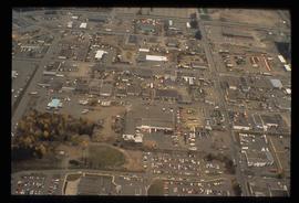
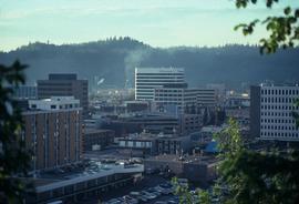
Image depicts the Central Business District of Prince George looking north from Connaught Hill. Map coordinates 53°54'41.4"N 122°44'58.5"W
Image depicts 3rd Ave at Victoria St. Map coordinates 53°55'03.9"N 122°44'54.8"W
Image depicts 3rd Ave at Victoria St. Map coordinates 53°55'03.9"N 122°44'54.8"W
Image depicts 3rd Ave at Victoria St. Map coordinates 53°55'03.9"N 122°44'54.8"W
Image depicts 3rd Ave at Victoria St. Map coordinates 53°55'03.9"N 122°44'54.8"W
The item is a photograph depicting the front exterior side of Central Fort George School prior to demolition in 2004. The windows are boarded up.
The item is a photograph depicting the front exterior side of Central Fort George School prior to demolition in 2004. The windows are boarded up.
