2013.6.36.1.001.08
·
Item
·
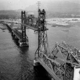
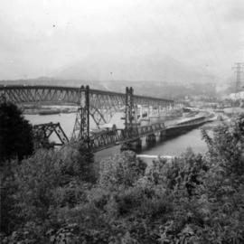
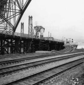
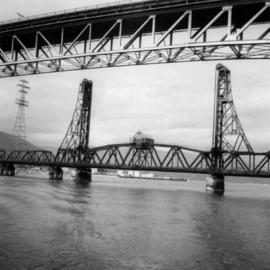
[May 1965]
Parte de David Davies Railway Collection
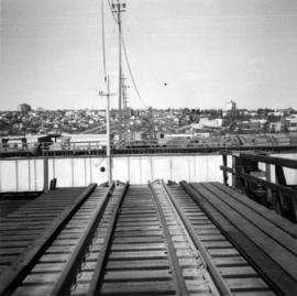
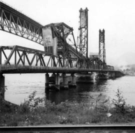
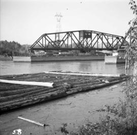
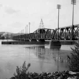
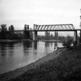
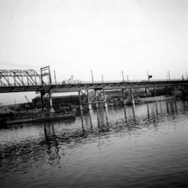
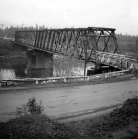
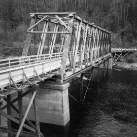
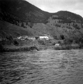
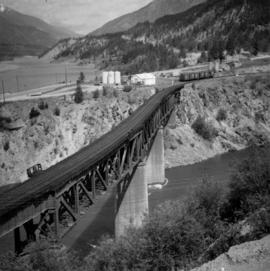
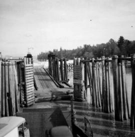
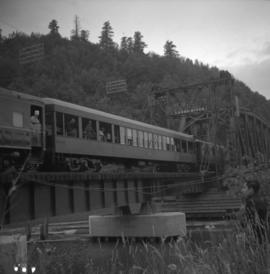
Photograph depicts the False Creek Trestle bridge open and the Granville Bridge looking east.