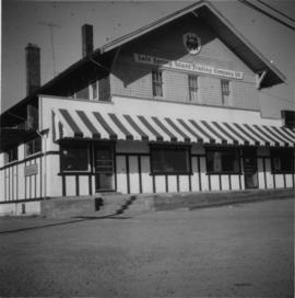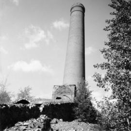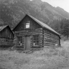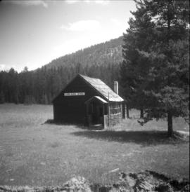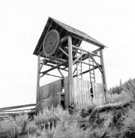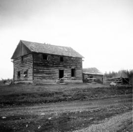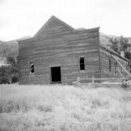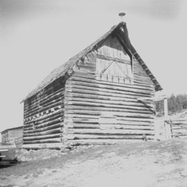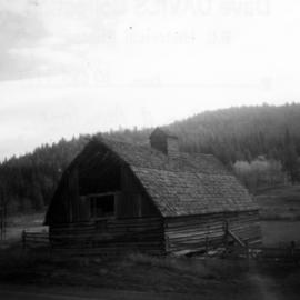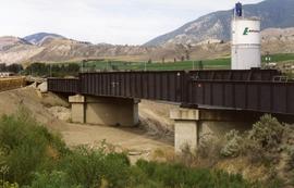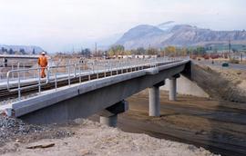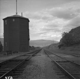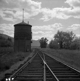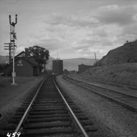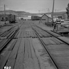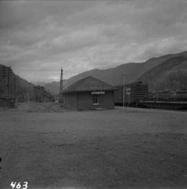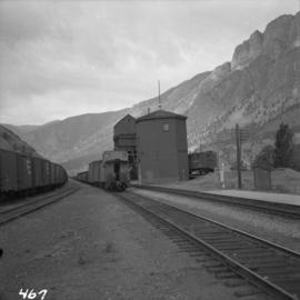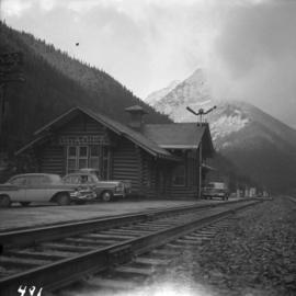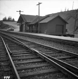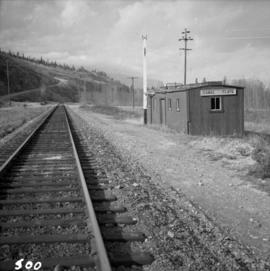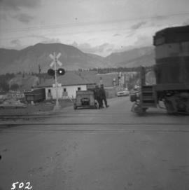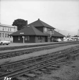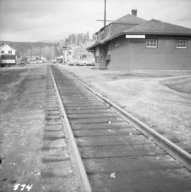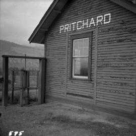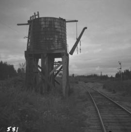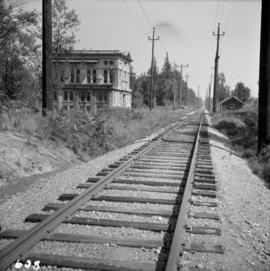
2013.6.36.1.075.06
·
Item
·
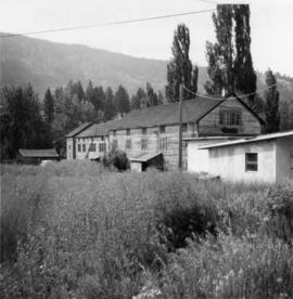
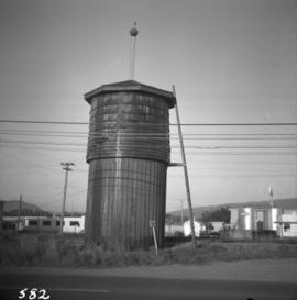
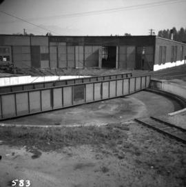
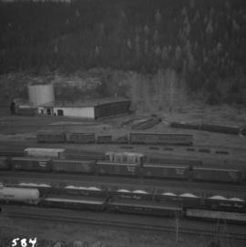
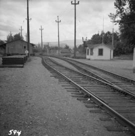
[23 June 1979]
Parte de David Davies Railway Collection
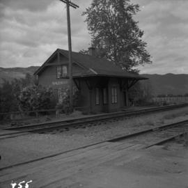
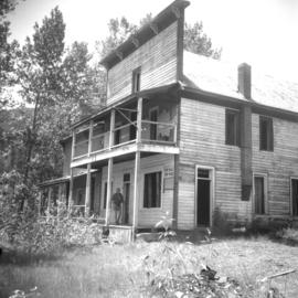
Photograph taken at Carmi, an old village between Rock Creek and Kelowna. Visible is an old hotel that was up for sale.