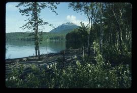
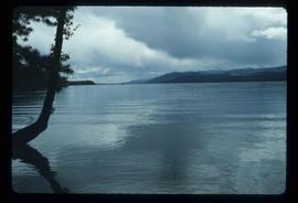
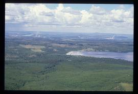
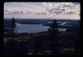
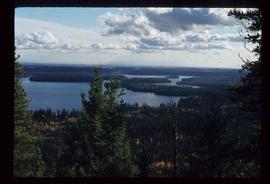
Image depicts a lake with a mountain in the distance, viewed "west from lodge;" it is possibly Takla Lake.
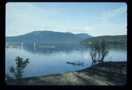
Image depicts a lake, viewed "west from lodge;" it is possibly Takla Lake.
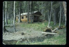
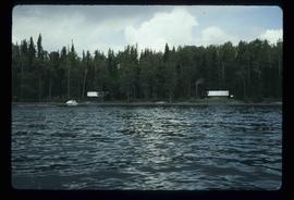
Image depicts a cabin on the "west arm" of Takla Lake.
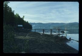
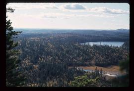
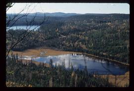
Image depicts a lake viewed "south-east from lodge;" it is possibly Takla Lake.
Image depicts a view of Takla Lake from a cabin on the "west arm."
Image depicts two cabins on the shore near the lodge at Takla Lake.
Image depicts a view of Tabor Mountain in Prince George, B.C.
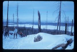
File contains slides depicting recreational activities on Tabor Mountain in Prince George, B.C.
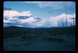
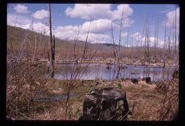
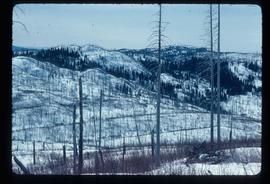
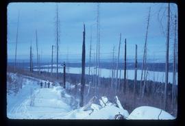
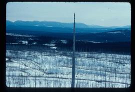
Image depicts a forest of dead trees on the slopes of Tabor Mountain in Prince George, B.C.
Image depicts a forest of dead trees on the slopes of Tabor Mountain in Prince George, B.C.
Image depicts a forest of dead trees on the slopes of Tabor Mountain in Prince George, B.C.
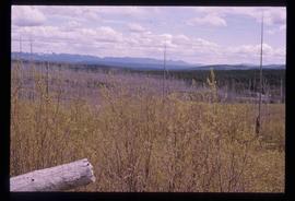
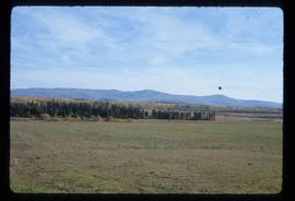
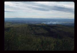
Image depicts a view of the area around Tabor Mountain in Prince George, B.C.
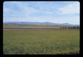
Image depicts Tabor Mountain in the distance, located in Prince George, B.C.
Image depicts a view of the area around Tabor Mountain in Prince George, B.C.
Image depicts Tabor Mountain from the airport in Prince George, B.C.
Image depicts a view of Prince George, from Gunn Point in the L.C. Gunn Park.
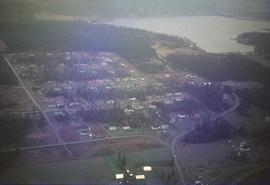
Image depicts the Tabor Lake Subdivision in Prince George, B.C.
Image depicts a view of Tabor Lake.
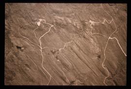
Image depicts grooving on Tabor Mountain in Prince George, B.C.
Image depicts grooves on Tabor Mountain in Prince George, B.C.
File consists of notes and reproductions relating to the Tabor Creek Elementary School and Tabor Creek South Elementary School
File consists of a proceedings from the "Symposium on the Agricultural Potential of Central British Columbia" from the University of British Columbia.
The item is a photograph depicting a wooden privy in a field where the site of the Sylvan Glade elementary school was located at Vivian Lake. Annotation on reverse side of photograph states, "Sylvan Glade school site #2, privy."
The item is a photograph depicting a wooden privy in a field where the site of the Sylvan Glade elementary school was located at Vivian Lake.
The item is a photograph depicting a field where the site where the Sylvan Glade elementary school was located at Vivian Lake. Annotation on reverse side of photograph states, "Sylvan Glade school site #1."
File consists of written and typed notes relating to the Sylvan Glade Elementary School. Also includes photographs depicting the Sylvan Glade School site (2001?).
Image depicts numerous unknown individuals swimming in a lake or standing on a dock at an uncertain location.
File consists of notes and reproductions relating to the Sutherland Land Company created by the 4th Duke of Sutherland.
File consists of notes and reproductions relating to the Sutherland Colony in Brooks, Alberta.
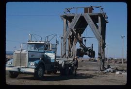
Image depicts a trailer for a logging truck suspended off the ground by a wooden structure. This is used to load the trailer onto the back of the truck. The name on the truck says "Rormarniewich Trucking Ltd."
File contains slides depicting old survey equipment and maps.
File consists of notes and reproductions relating to the survey of Prince George. Includes material on survey plans, lots in Prince George, original town planning, subdivision plans, and Kent Sedgwick's handwritten notes on surveying and town planning in Prince George. File primarily includes photopied maps depicting town lots and planning in Prince George. Includes: "RE: Title Search for Fairgrounds" typescript letter from Kent Sedgwick to Dr. Dick Rowe (26 Apr. 1990) and "Map showing South Fort George, Fort George (Central) and the additions surveyed in 1910 or later" reproduced map from the Fort George Tribune newspaper.
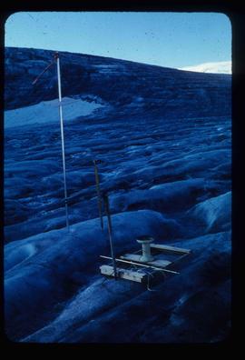
Image depicts objects, including a flag pole, that the slide labels as "survey equipment." The slide also places it as a "Peyto icefall," on the Peyto Galcier in the Banff National Park in Alberta, B.C.
Item is an original 1955 map depicting surficial geology of Anahim Lake, British Columbia published by the Geological Survey of Canada.
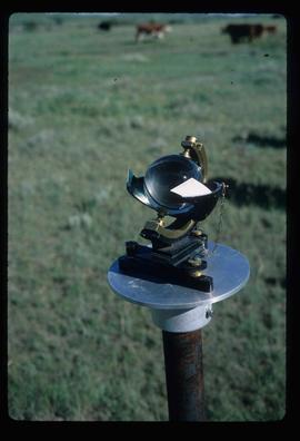
Image depicts a sunshine recorder at an uncertain location.
File contains slides depicting the Sunshine Coast.
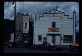
Image depicts the Sunset Theatre in Wells, B.C.
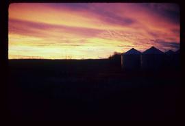
Image depicts a view of a sunset at an uncertain location, possibly in the Peace River Region.
File consists of notes and clippings relating to the Summit Lake Elementary School.
Image depicts Summit Lake.
Image depicts Summit Lake.
Image depicts Summit Lake.
Image depicts Summit Lake.
File consists of notes, clippings, and reproductions relating to Summit Lake.
File contains slides depicting the Summerfest in Prince George, B.C. in 1994.
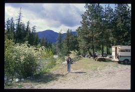
Image depicts Sue Sedgwick standing on the bank of a river.
Image depicts Sue Sedgwick standing next to a camper.
Image depicts Sue Sedgwick holding what appears to be cooked pork and onions.
Image depicts Sue Sedgwick eating what appears to be cooked pork.
The item is a reproduction of a section of survey map drafted on 18 March 1915 and revised on 23 May 1916. The reproduction was likely created in 1990. The Plan Number is 1268 and highlights the area along the Nechako and Fraser Rivers. The map details subdivisions East of Carney Street, North of Twentieth Avenue and South of Ninth Avenue. Annotations in pencil state different map scale variations and "cemetery setback."
