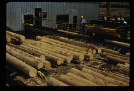
Image depicts numerous stripped logs and several unidentified individuals in hard hats at a saw mill somewhere in Prince George, B.C.
Image depicts logs being stripped of their bark at a saw mill in Prince George, B.C.
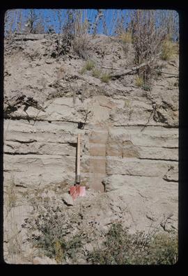
Image depicts sand beds with a shovel present for size reference. The slide places it at the "BCR site," possibly in Prince George, B.C.
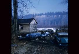
Image depicts several old, ruined cars and an unknown individual in Island Cache.
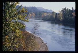
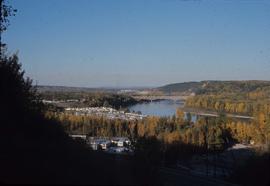
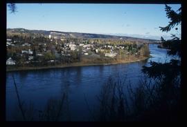
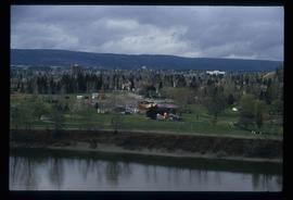
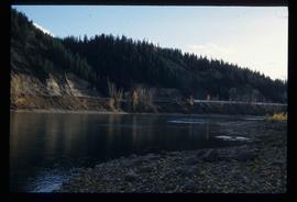
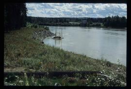
Image depicts a river, possibly the Nechako, in Prince George, B.C. Possibly taken from the Foothills Bridge.
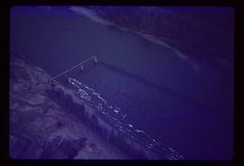
Image depicts the flows from a pulp mill in Prince George, B.C.
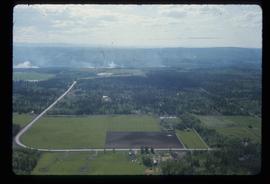
Image depicts Prince George near the Airport Road.
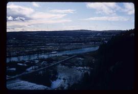
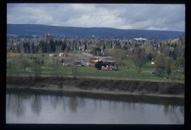
Image depicts a view of Prince George from the cutbanks on the Nechako river.
Image depicts a view of Prince George from the cutbanks.
Image depicts Prince George from the view of Peden Hill.
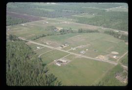
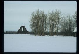
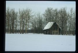
Image depicts a clearing in Prince George, B.C., possibly in the Pineview area.
Image depicts a clearing in Prince George, B.C.
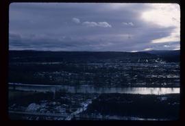
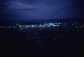
Image depicts Prince George at night from the cutbanks.
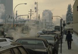
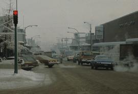
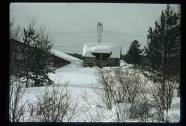
Image depicts Brunswick Street at 3rd Ave in -35 degree weather. Map coordinates 53°55'03.0"N 122°44'51.7"W
Image depicts 3rd Ave at Brunswick Street in -35 degree weather. Map coordinates 53°55'03.0"N 122°44'51.7"W
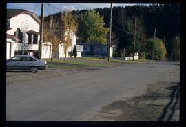
Image depicts an uncertain street in Prince George, B.C.
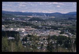
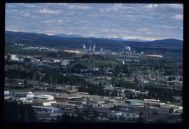
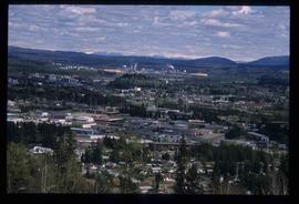
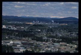
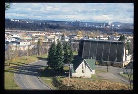
Image depicts Prince George, with the picture looking North-Northeast from University Way.
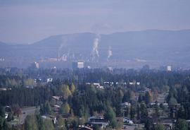
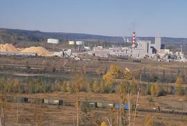
Image depicts Prince George from University Way, with the P.G.I pulp mill in the distance.
Image depicts Prince George from University Way, with the P.G.I. Pulp Mill in the distance.
Image depicts Prince George from University Way, with the P.G.I. Pulp Mill in the distance.
Image depicts Prince George from University Way, with the P.G.I. Pulp Mill in the distance.
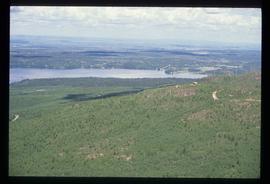
Image depicts a view of Prince George from an uncertain location.
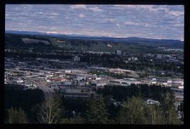
Image depicts a view of Prince George.
Image depicts a view of Prince George.
Image depicts Prince George with numerous trees obscuring most of the view.
Image depicts Prince George.
Image depicts a view of Prince George.
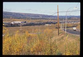
Image depicts power lines east of the pulp mills in Prince George, B.C.
Image depicts Pineview on Buckhorn Lake Road, Prince George, B.C.
Image depicts Pineview on Buckhorn Lake Road, Prince George, B.C.
Image depicts Pineview on Buckhorn Lake Road, Prince George, B.C.
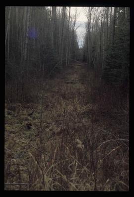
Image depicts a view of the south direction of the grade for the British Columbia Railway, which was formerly known as the Pacific Great Eastern until 1972. It is at an uncertain location, possibly near Woodpecker or Prince George.
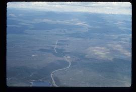
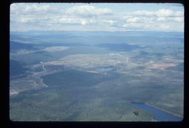
Image depicts an aerial view of the Ahbau area somewhere near Prince George, B.C.
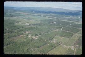
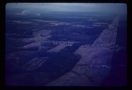
Image depicts an aerial view of areas that have been used for logging around Prince George, B.C.
Image depicts the Fraser River at Paddlewheel park, with a train on the other side of the river, in Prince George B.C.
Image depicts the Fraser River at Paddlewheel park, with a train on the other side of the river, in Prince George B.C.
Image depicts a view over Tabor Mountain.
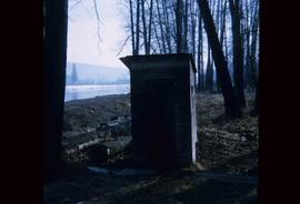
Image depicts what is likely an outhouse at Island Cache.
Image depicts the Northwood pulpmill in Prince George B.C.
Image depicts the Northwood pulpmill in Prince George B.C.
Image depicts the Northwood Pulpmill in Prince George, B.C. taken from above the Nechako River looking east. Map coordinates 53°56'00.0"N 122°44'29.7"W
Image depicts the Northwood pulpmill in Prince George B.C.
Image depicts the Northwood Bridge crossing in Prince George B.C.
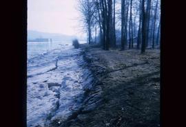
Image depicts the bank of the Nechako River at Island Cache.
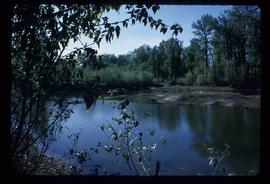
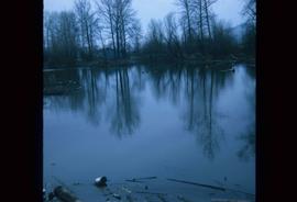
Image depicts what is possibly a small section of the Nechako River on Cottonwood Island.
Image depicts a body of water in Island Cache. It is possibly a small section of the Nechako River.
Image depicts the Nechako River on Cottonwood Island.
Image depicts the Nechako River from Cottonwood Island.
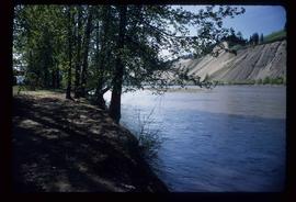
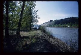
Image depicts the cutbanks on the other side of the Nechako, taken from the nature trail at Island Cache. Map coordinates 53°55'34.6"N 122°45'52.4"W
Image depicts the cutbanks on the other side of the Nechako, taken from the nature trail at Island Cache. Map coordinates 53°55'34.6"N 122°45'52.4"W
