2012.13.2.02.72.02
·
Item
·
15 June 2007
Part of J. Kent Sedgwick fonds
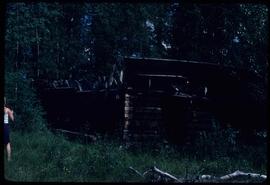
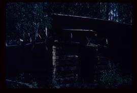
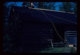
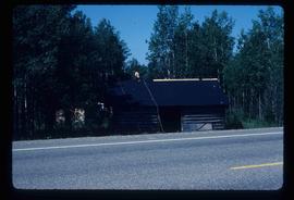
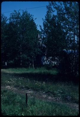
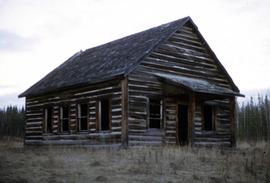
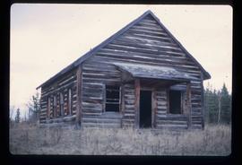
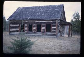
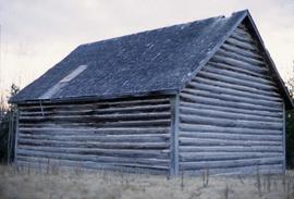
The item is a photograph of a wood and white brick house in Prince George. The address is 2755 on an unknown street.