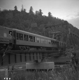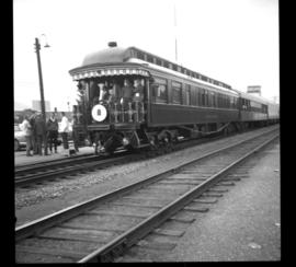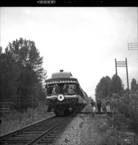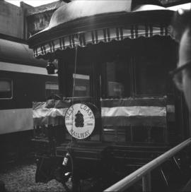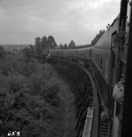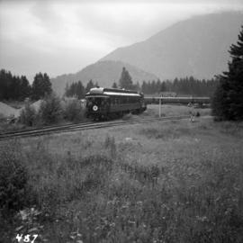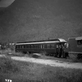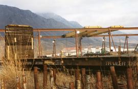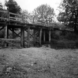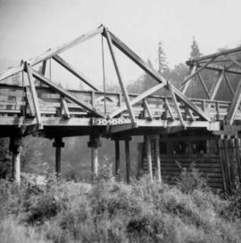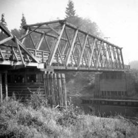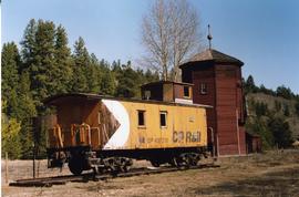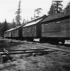
2013.6.36.1.007.017
·
Item
·
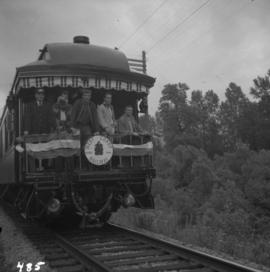
8 Aug. 1964
Part of David Davies Railway Collection
Photograph depicts a train car that is part of the West Coast Railway Association special trip from Vancouver to Hope on August 8, 1964. It is stopped on the east side of Sumas Bridge.