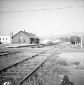
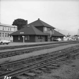
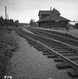
Photograph depicts the C.P.R. depot at Princeton, looking east.
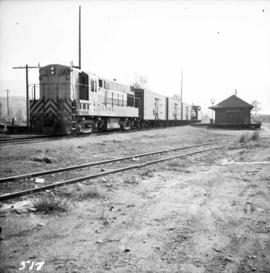
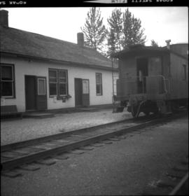
Photograph depicts the C.P.R. depot at Oliver. There is a way freight stopped at the depot, either before or after switching.
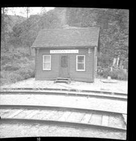
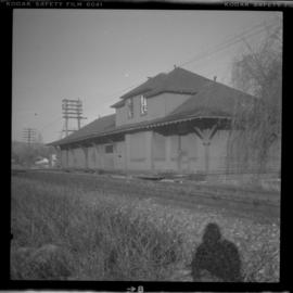
Photograph depicts the CPR depot at Okanagan Falls, located at mile 10.6 from Penticton. The depot is locked and unused but it used to be the southern terminus of Skaha Lake when the line first opened in 1922. When the route along the edge of Skaha Lake was built, the Okanagan lost its barge and car slips in 1931. There is also a water pump at the right of the depot.
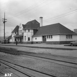
Photograph depicts the C.P.R. depot at New Westminster.
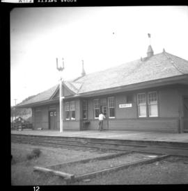
Photograph depicts the CPR depot at Merritt. When the Spences Bridge to Merritt branch line was first built its principal traffic was coal taken from the mines on the south edge of the city. As late as 1923 Middlesborough Mine produced 75,862 tons/year.
Photograph depicts the C.P.R. depot at Goldstream on Vancouver Island. The view is looking towards Victoria.
Photograph depicts the C.P.R. depot at Duncan on Vancouver Island, with a view looking northeast.
Photograph depicts the CPR depot at Chase, which is no longer in use.
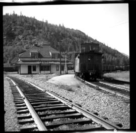
Photograph depicts the CPR depot at Castlegar. The left-hand track leads to Trail and the right-hand track to Midway and Penticton. The picture was taken at about 1 pm with the Nelson to Midway way freight train standing at the depot. The caboose was built in 1913. The view is looking west.
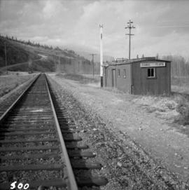
Photograph depicts the C.P.R. depot at Canal Flats on the Golden-Cranbrook line. The ex box car depot now is used only to make line phone calls.
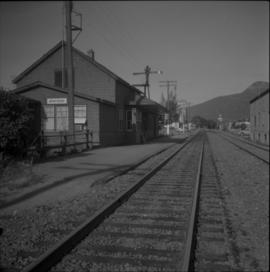
Photograph depicts the CPR depot at Armstrong. It is located about mile 32 from Sicamous on the Okanagan Subdivision. The view is looking south.
Photograph depicts the C.P.R. Cowichan depot on Vancouver Island. The view is looking south.
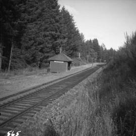
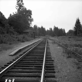
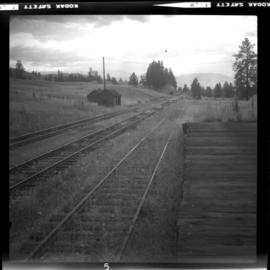
Photograph depicts the CPR depot at Chute Lake, on the Carmi Subdivision. It is located at mile 106.5 and 13.5 miles north of Penticton. The photo shows the passing track and the base of a former water tower is just behind the camera at the left. The rail here is dated 1942.
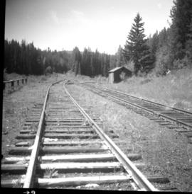
Photograph depicts the CPR rail Belfort depot passing point, approximately 5 miles north of Princeton, on the Princeton to Penticton line. The view is looking south.
Photograph depicts the CPR at the Huntingdon/Sumas border (BC/Washington State border). A Mission way freight train is standing at about 5 pm, ready to return to Mission. The photo shows CP caboose #436733, built in 1920 out of wood. The border is about 10 ft. behind the camera.
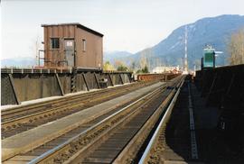
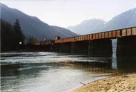
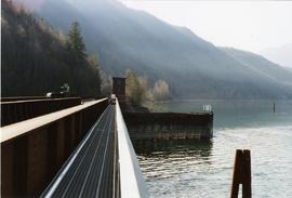
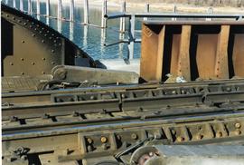
Photograph depicts a CPR swing bridge in Harrison Mills. Looking east, towards Kilby Store. Swing section in the foreground. It was rarely used.
Photograph depicts a CPR swing bridge in Harrison Mills. Taken on the downstream side of Harrison River.
Photograph depicts a CPR swing bridge in Harrison Mills. Looking west, on the upstream side of the Harrison River.
Photograph depicts a swing bridge in Harrison Mills. It was rarely used, but all its controls were modern and maintained.
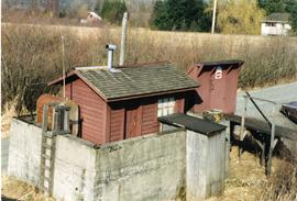
Photograph depicts a fuel storage shed in Harrison Mills.
Photograph depicts man standing at bottom of crusher building. Portions of framework near top are covered with plastic. Snow on mountainside in background.
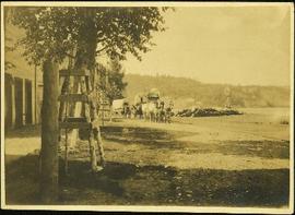
Photograph depicts men standing near three covered wagons pulled by team of horses on street. Buildings line the street on left behind trees with protective structures built around their trunks. A windmill stands near small building and woodpiles in background on right. Trees on hill are visible in distance. Handwritten annotation on recto of photograph: "Quesnel".
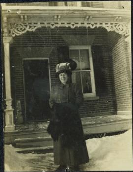
Woman stands in walkway cleared of snow in front of tall brick home with a detailed porch, believed to be in Victoria, B.C. Woman wears long winter coat, fur hand-warmer, and large hat. It is believed this woman may be a cousin to Sarah Glassey's family, possibly through the Taylor line.
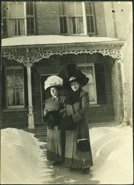
Two women stand in walkway cleared of snow in front of tall brick home with a detailed porch, believed to be in Victoria, B.C. The women wear long winter coats, fur hand-warmers, and large hats. It is believed that one or both of these women is a cousin to Violet Baxter's family, through the Taylor line.
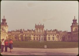
Photograph depicts water fountain in centre of grass courtyard at the Museum of King Jan III's Palace at Wilanów, Warsaw, Poland. Three unidentified women and one unidentified man can be seen walking in left foreground. Photograph taken during European Sports Tour with Team Canada.
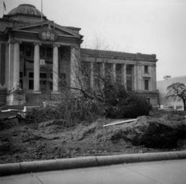
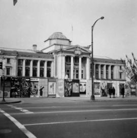
Photograph depicts a courthouse in Vancouver, B.C. Photo shows the ripped up forecourt.
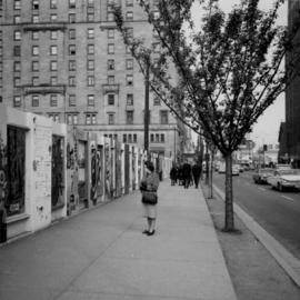
Photograph depicts a courthouse on Georgia St., looking west towards the Vancouver Hotel. The fence surrounding the courthouse is covered with paintings.
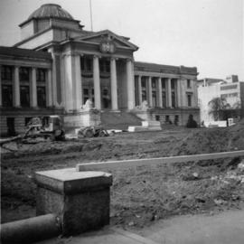
Photograph depicts a courthouse in Vancouver, B.C. Photo shows the ripped up forecourt.
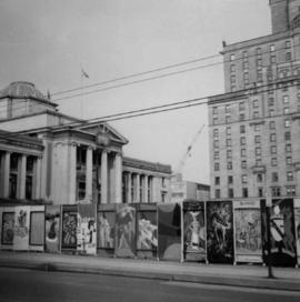
Photograph depicts a courthouse on Howe St. in Vancouver, B.C. There are paintings on the fence surrounding the forecourt.
Photograph depicts a courthouse in Vancouver, B.C. surrounded by a fence with paintings.
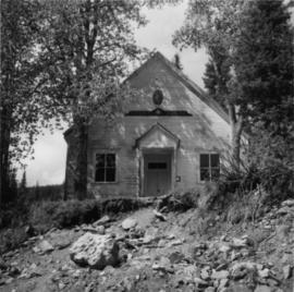
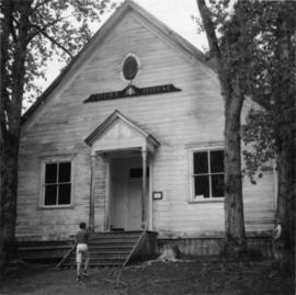
Photograph depicts a courthouse in Richfield, 1 mile above Barkerville. It was the only building left standing of the former mining community.
Photograph depicts a courthouse in Richfield, 1 mile above Barkerville. It was the only building left standing of the former mining community.
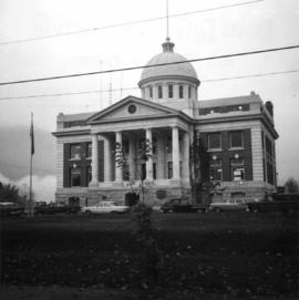
Photograph depicts a courthouse at Revelstoke, B.C. that was built in 1912-1913.
Photograph depicts the Courtenay terminus of the Esquimalt and Nanaimo Railway. The view is looking north.
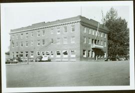
Photograph depicts large three story building, road and parked cars in foreground.
Annotation on verso: “Court House and Prov. Govt. offices at Pr. George. Once used to be 'Alexandra Hotel' now site occupied by Kresge’s. Alexander Hotel. Opened Sept 25, 1915."
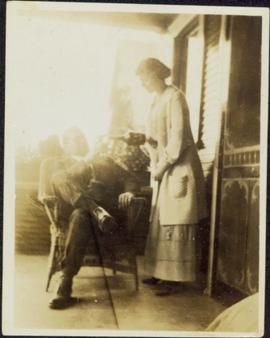
Woman pours drink into glass of man seated in chair. Handwritten annotation on recto of photograph: "Firm believers in the 'putting down' of drink. John [Ross?]." It is speculated that these may be the parents of H.F. Glassey.
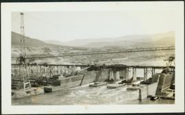
Photograph depicts large bridge and dam over a wide river, industrial structures throughout. Hills on opposite shore in background. Handwritten annotation on recto of photograph: "Coulee Dam, This is were[sic] I went this fall. Wished you had of been with me."
Image depicts a the Cottonwood Island Nature Park sign and map in Prince George, B.C.
Image depicts a the Cottonwood Island Nature Park sign and map in Prince George, B.C.
File contains slides depicting Cottonwood Island in Prince George, B.C.
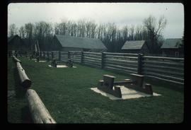
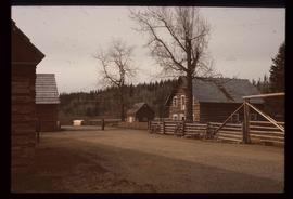
Image depicts the picnic site of the Cottonwood House Historic Site, located on the Barkerville Highway, east of Quesnel, B.C.
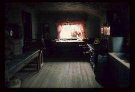
Image depicts the kitchen area of the interior of the Cottonwood House.
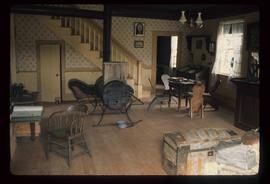
Image depicts the living area of the interior of the Cottonwood House.
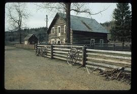
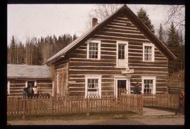
Image depicts the Cottonwood House at the Historic Site located in Barkerville, B.C.
Image depicts the Cottonwood House.
Image depicts the Cottonwood House.
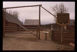
Image depicts the Cottonwood House Historic Site along Barkerville Highway, east of Quesnel, B.C. A sign posted by the fence reads: "For over half a century the Boyd family operated this haven for man and beast. Here weary travellers found lodging, food, and drink. Here fresh horses were hitched to stage-coaches and miners bought supplies. This historic road-house, built in 1864, stood as an oasis of civilization on the frontier of a rich new land."
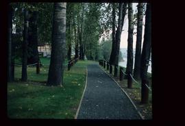
Image depicts a section of the Heritage Trail on Cottonwood Island in Prince George, B.C.
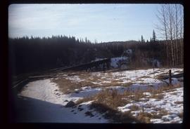
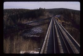
Image depicts a rail road bridge, possibly the Cottonwood Bridge, at an uncertain location.
Image depicts the Cottonwood Bridge.
