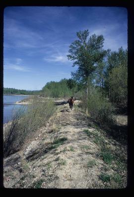
Image depicts a horse on Cottonwood Island.
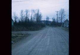
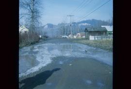
Image depicts a street in Island Cache.
Image depicts a street in Island Cache.
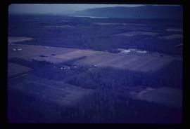
Image depicts an agricultural field, most likely near Prince George, B.C.
Image depicts what appears to be an animal pen in Island Cache. There is a goat and numerous chickens in the image, as well as a pile of miscellaneous material.
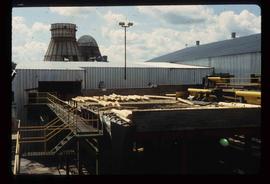
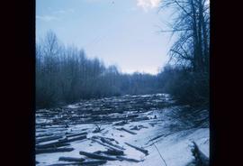
Image depicts numerous logs that have been stripped of their bark at a saw mill in Prince George, B.C.
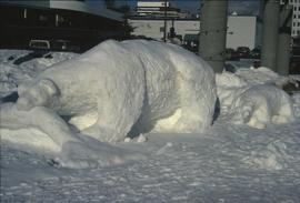
Image depicts a snow sculpture of a bear, possibly during the Winter City Conference, in Prince George, B.C. Taken at the Prince George Civic Center. Map coordinates 53°54'45.6"N 122°44'59.6"W
Image depicts a view of Blackburn Schools, possibly taken from Tabor Mountain.
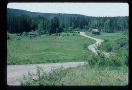
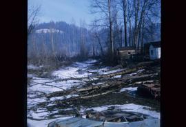
Image depicts an abandoned cabin and shed on Blackwater Road.
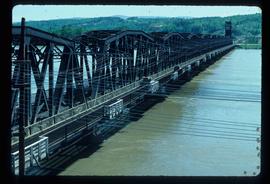
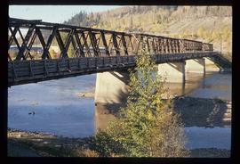
Image depicts a bridge in Prince George, B.C.
Image depicts a bridge in Prince George, B.C.
Image depicts a bridge in Prince George, B.C.
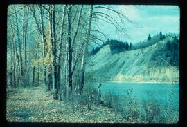
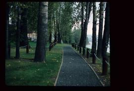
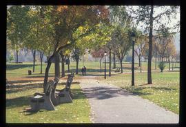
Image depicts a nature trail along the Nechako River at Island Cache looking west with the cutbanks in the background. Map coordinates 53°55'36.2"N 122°45'11.8"W
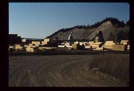
Image depicts numerous piles of wood planks at the Canadian National Railway Yards in Prince George, B.C. The cutbanks are seen in the background.
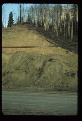
Image depicts a small slope on Carney Hill in Prince George, B.C.
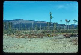
Image depicts a highway, and a section of mountain in the background which is bare due to clear-cut logging. It is possibly somewhere near Prince George, B.C.
Image depicts a logging area, and a section of mountain in the background which is bare due to clear-cut logging. The slide is also labelled "logging show." It is possibly somewhere near Prince George, B.C.
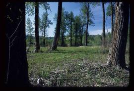
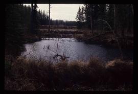
Image depicts a clearing at Island Cache.
Image depicts a section of the Heritage Trail on Cottonwood Island in Prince George, B.C.
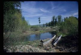
Image depicts Cottonwood Island.
Image depicts Cottonwood Island.
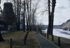
Image depicts a nature trail in Cottonwood Island Park by a beehive burner. Map coordinates 53°55'23.6"N 122°43'53.8"W
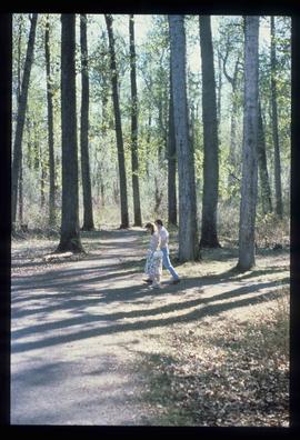
Image depicts a couple walking through a nature trail in Cottonwood Island Park. Map coordinates 53°55'23.6"N 122°43'53.8"W
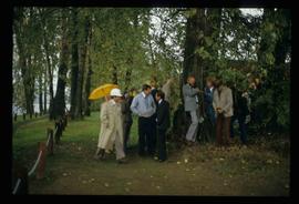
Image depicts a crowd of people in Cottonwood Park in Prince George, B.C.
Image depicts a the Cottonwood Island Nature Park sign and map in Prince George, B.C.
Image depicts a the Cottonwood Island Nature Park sign and map in Prince George, B.C.
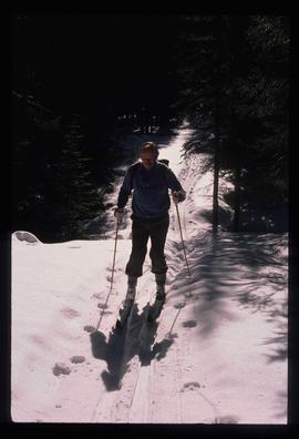
Image depicts an unidentified man cross country skiing somewhere on Tabor Mountain in Prince George, B.C.
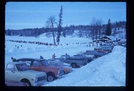
Image depicts a long line of people cross country skiing somewhere on Tabor Mountain in Prince George, B.C.
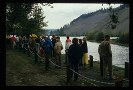
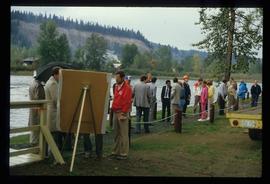
Image depicts a large crowd of people on a section of the Heritage Trail on Cottonwood Island in Prince George, B.C.
Image depicts a crowd of people on a section of the Heritage Trail on Cottonwood Island in Prince George, B.C.
Image depicts an area of cut trees at Island Cache.
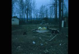
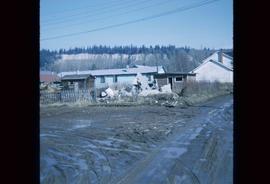
Image depicts the rubble of a demolished house at Island Cache, with several other buildings in the background.
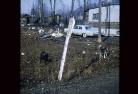
Image depicts two dogs and numerous chickens in a yard at Island Cache.
Image depicts Eskers Park, near Prince George, B.C.
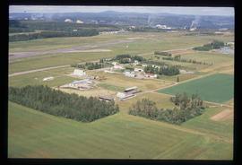
Image depicts a view of an experimental farm, possibly taken from Tabor Mountain.
Image depicts some fallen trees at Island Cache.
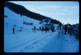
Image depicts numerous skiers standing near a finish line somewhere on Tabor Mountain in Prince George, B.C.
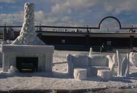
Image depicts a snow sculpted fire place and couch on a skating rink, possibly during the Winter City Conference, in Prince George, B.C. Taken at the Prince George Civic Center. Map coordinates 53°54'45.6"N 122°44'59.6"W
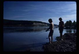
Image depicts two youths fishing from the bank of the Nechako River on Cottonwood Island.
Image depicts an esker at the Foothills Boulevard in Prince George, B.C.
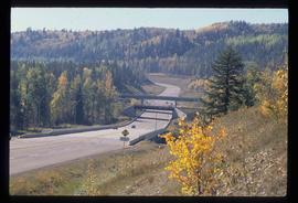
Image depicts the Foothills Bridge over the Nechako river on the Foothills Boulevard in Prince George, B.C. Map coordinates 53°56'52.5"N 122°48'59.9"W
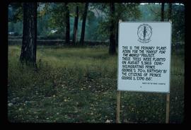
Image depicts a group of trees in the Cottonwood Park, with a sign which reads: "This is the primary plantation for the 'Forest for the World' project. These trees were planted on August 5, 1985, commemorating Prince George's 70th birthday by the citizens of Prince George & Expo 86'."
Image depicts the Fort George Par, which was renamed Lheidli T'enneh Memorial Park in 2015. Map coordinates 53°54'30.2"N 122°43'57.4"W
Image depicts an aerial view of Fort George Park.
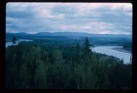
Image depicts the Fraser River from Northwood Road in the Prince George area.
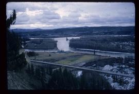
Image depicts a view of the Fraser-Nechako confluence from the Prince George cutbanks.
Image depicts the Fraser River from the vantage point of the cutbanks in Prince George, B.C.
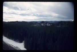
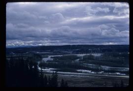
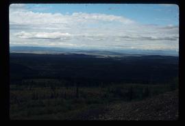
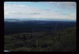
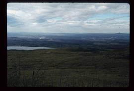
Image depicts a view of the landscape surrounding Tabor Mountain in Prince George, B.C.
Image depicts a view of the landscape surrounding Tabor Mountain in Prince George, B.C.
Image depicts the area surrounding Tabor Mountain. Prince George is slightly visible on the left side of the image in the background.
