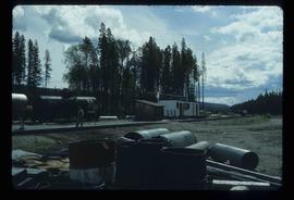
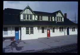
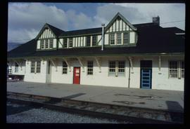
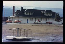
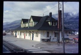
Image depicts a building, possibly an office building, next to a set of rail road tracks in Leo Creek, B.C. An unknown individual is present, and a number of barrels and culverts are visible in the foreground.
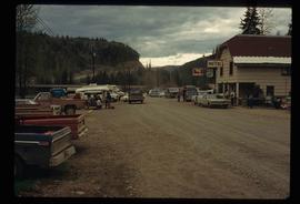
Image depicts numerous vehicles and individuals outside a hotel in Likely, B.C.
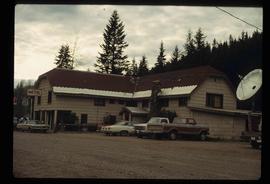
Image depicts a hotel in Likely, B.C.
Photograph depicting a log cabin with a woman sitting on the front porch, presumably Sue Sedgwick. The photograph is presumably taken in Quesnelle Forks.
Photograph depicting a log house, presumably in the campground in Quesnelle Forks.
Photograph depicting a small log cabin with a front porch and a sign reading "Happy 150th Anniversary Cariboo Gold Rush 1859-2009", presumably taken in Quesnelle Forks.
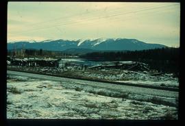
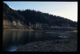
Image depicts a pile of old logs on the bank of the Fraser River with mountains in the background. In the foreground, a set of railway tracks run through an uncertain location, likely Upper Fraser, B.C.
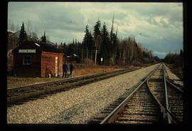
Image depicts two unidentified individuals standing next to the train station, and two railway tracks running through Longworth, B.C.
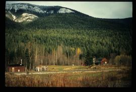
Image depicts several old shacks and some railway tracks running through Longworth, B.C.
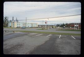
Image depicts several apartment buildings and the sign for a Gulf Gas Station in Mackenzie, B.C.
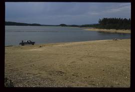
Image depicts a truck parked on a beach in Mackenzie, B.C.
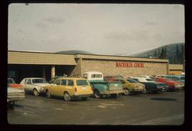
Image depicts numerous vehicles parked outside a building with a sign which reads "Mackenzie Centre;" it is possibly the mall in Mackenzie, B.C.
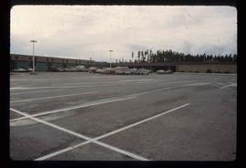
Image depicts numerous vehicles in the parking lot of a mall in Mackenzie, B.C.
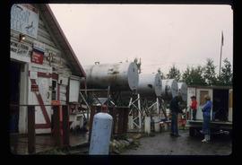
Image depicts a man and his family filling up their truck with gas at Manson Creek, B.C.
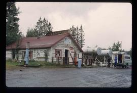
Image depicts the gas station at Manson Creek, B.C.
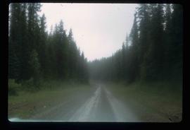
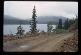
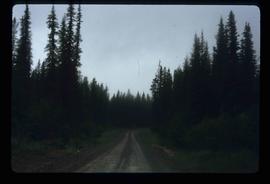
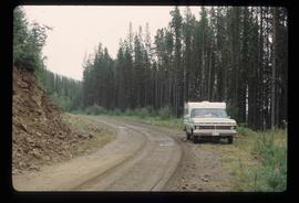
Image depicts the road to Manson Creek, B.C.
Image depicts the road to Manson Creek, B.C.
Image depicts the road to Manson Creek, B.C.
Image depicts the road to Manson Creek, B.C.
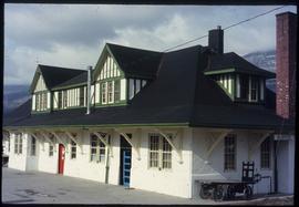
Image depicts the CN Station in McBride, B.C.
Image depicts the CN Station in McBride, B.C.
Image depicts the rear-end of the CN Station in McBride, B.C.
Image depicts the McBride CNR station.
Image depicts the McBride CNR station.
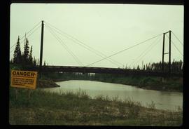
Image depicts a bridge over the McGregor River. A sign in the image reads: "Danger. The river is not navigable for any type of boat. Down stream falls and rapids impassible!"
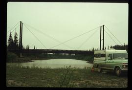
Image depicts a bridge over the McGregor River.
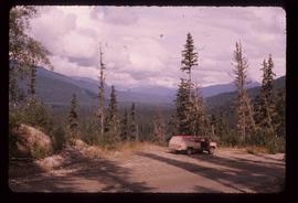
Image depicts a red vehicle parked on the side of the road with a view of the McGregor Valley behind it. The slide is labelled "dam site."
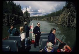
Image depicts several unidentified individuals on a boat in the Miles Canyon near Whitehorse Y.T.
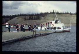
Image depicts numerous unidentified individuals getting off a boat which bears the name "Schwatka." It is located somewhere in Miles Canyon.
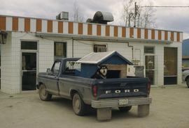
Image depicts a dog and dog house in the back of a pick-up somewhere near Prince George, B.C.
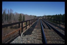
Image depicts a rail road bridge over the Mud River.
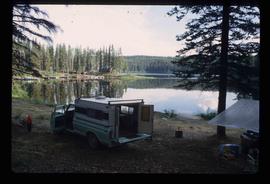
Image depicts a camper parked on the shore of Nation Lakes, south of Manson Creek, B.C.
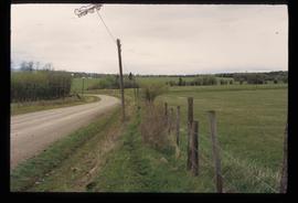
Image depicts a road and field somewhere near Grassy Plains, B.C.
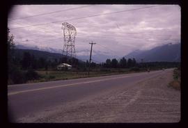
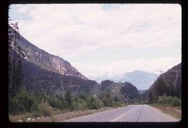
Image depicts Highway 99 near Pemberton, B.C.
Image depicts Highway 99 north of Squamish and near Pemberton, B.C.
Image depicts Highway 99 north of Squamish, near Pemberton, B.C.
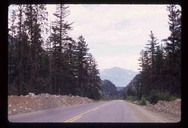
Image decpicts the old road to the townsite in Giscome, B.C. Map coordinates 54°04'19.7"N 122°22'04.7"W
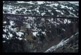
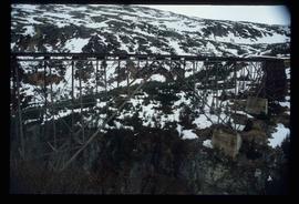
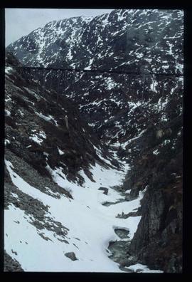
Image depicts an old trestle along the White Pass railway.
Image depicts an old trestle along the White Pass railway.
Image depicts an old trestle along the White Pass railway.
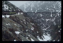
Image depicts an old trestle along the White Pass railway, and the White pass Train on the left of the image.
Image depicts two men in the cabin of a boat somewhere near Kitimat, B.C.
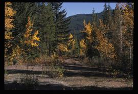
Photograph depicts an open field surrounded by trees.
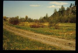
Photograph depicts an open field and a dirt road surrounded by trees in an unknown location.
Image depicts an old road through the trees near Yellowhead Pass. The slide labels it as the origin of the Yellowhead highway.
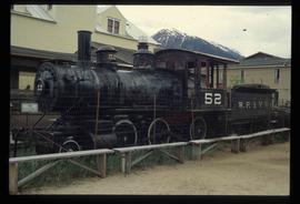
Image depicts the original steam engine for the White Pass Train, located in Skagway, Alaska.
Image depicts the Fraser River at Paddlewheel park, with a train on the other side of the river, in Prince George B.C.
Image depicts the Fraser River at Paddlewheel park, with a train on the other side of the river, in Prince George B.C.
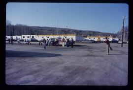
Image depicts a group of people throwing a frisbee in a parking lot at an uncertain location, likely in the Peace River Region.
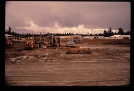
Image depicts several eighteen wheelers at the Pass Lake Road and Upper Fraser Road intersection with numerous houses and buildings in the background in McGregor, B.C. Map coordinates 54°04'38.1"N 121°50'00.1"W
