Showing 3101 results
Archival description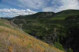
Untitled
Untitled
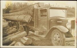
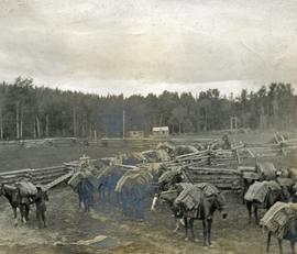
Unloading Logs at Giscome, BC
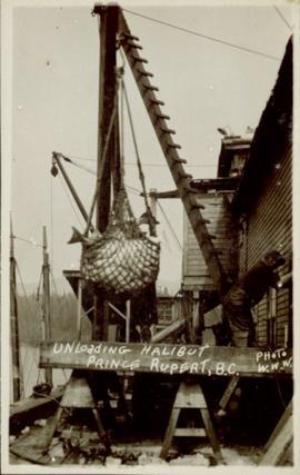
Unloading halibut in Prince Rupert, BC
Unloading at Hudson Bay Company

Unknown Woman & Men at Mine
Unknown Men in Mining Area
Unknown Men at Mine Adit

Unknown Man Standing in Rocks

Unknown Man & Talus Ore
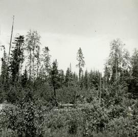
Typical young aspen and willow cover over area later used for seedling or transplant beds at Red Rock Nursery
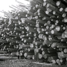
Typical Spruce-Balsam tree length logs from mature Spruce-Balsam types at T.F.L. 29, Giscome
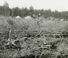
Typical residual after clear cutting and scarifying seen at West Branch, Aleza Lake Forest Experiment Station
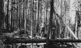
Typical patch of old windfall in cutting at Timber Sale X9696
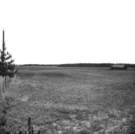
Typical extensive cultivation of Bednesti silty loams and silt in Wright Creek and Salmon River Area
Typical Devils Club site on imperfectly drained silty clay at West Branch Road, Aleza Lake Forest Experiment Station
Typical Black Spruce form associated with poorly drained saucer shaped terrain, Prince George Airport Road
Typical bark form of potentially commercial Black Spruce stand at Mile 3 on the Hart Highway
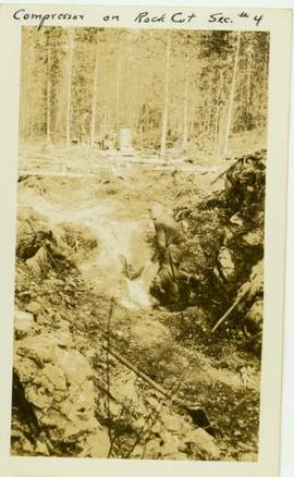
Two men working on the side of a rocky cut
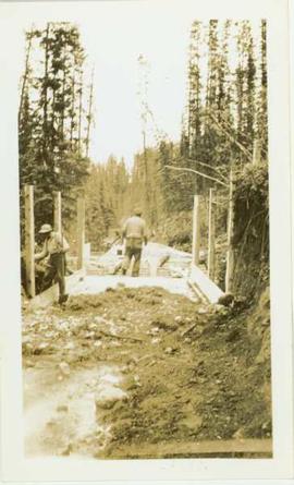
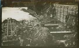
Two men working on flume construction
Two men standing beside log pile at the river's edge
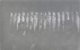
Two men sitting in front of a row of hanging fish
Two Men Observing Rock Sample at Mine
Two Men Observing Rock Sample at Mine
Two Men in Mine
Two Men in Mine
Two Men in Mine
Two Men in Mine
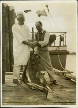
Two men displaying their large peughed hailbut on the dock
Two men digging beside Meziaden River Falls possibly building a fish ladder
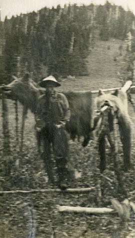
Two grizzlies
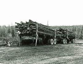
Two fully loaded logging truck trailers hitched together
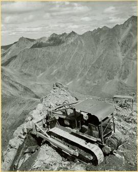
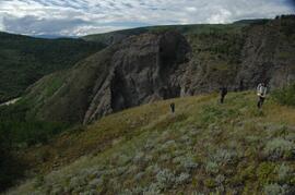
Two Dozers on Cliff, Close View
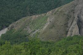
Two Dozers on Cliff
Two Dozers on Cliff
"Tweedsmuir Provincial Park Background Document"
"Tweedsmuir Provincial Park Background Document"
"Tweedsmuir Park Initial Wildlife & Fisheries Inventory"
"Tweedsmuir Park Initial Wildlife & Fisheries Inventory"
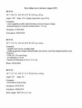
Tuya-Stikine site & soil notes
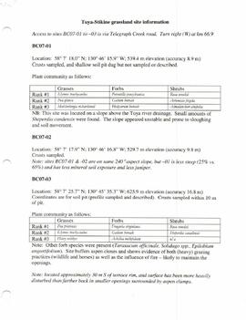
Tuya-Stikine grassland site information
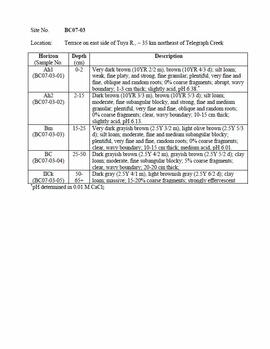
Tuya-Stikine 2007 soil descriptions
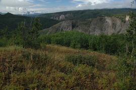
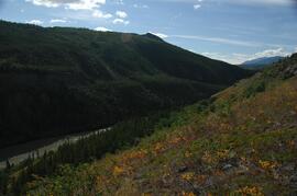
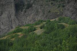
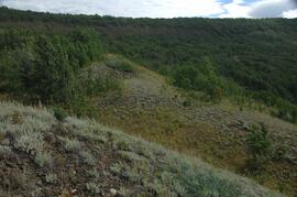
Tuya River, grasslands ~10 km above the Stikine River confluence
Tuya River, grasslands ~10 km above the Stikine River confluence
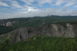
Tuya River, facing downstream ~10 km above the Stikine River confluence
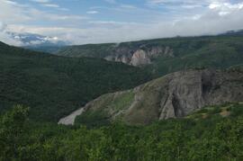
Tuya River, facing downstream ~10 km above the Stikine River confluence
Tuya River, facing downstream ~10 km above the Stikine River confluence
Tuya River, aspen patches ~10 km above the Stikine River confluence
Tuya River, Artemisia in south facing grasslands
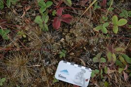
Tuya River valley soil crust at site BC07-03
Tuya River valley soil crust at site BC07-03
Tuya River valley soil crust at site BC07-03
Tuya River valley soil crust at site BC07-03
Tuya River valley soil crust at site BC07-03
Tuya River valley soil crust at site BC07-03
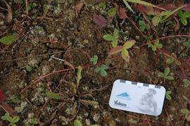
Tuya River valley soil crust at site BC07-02